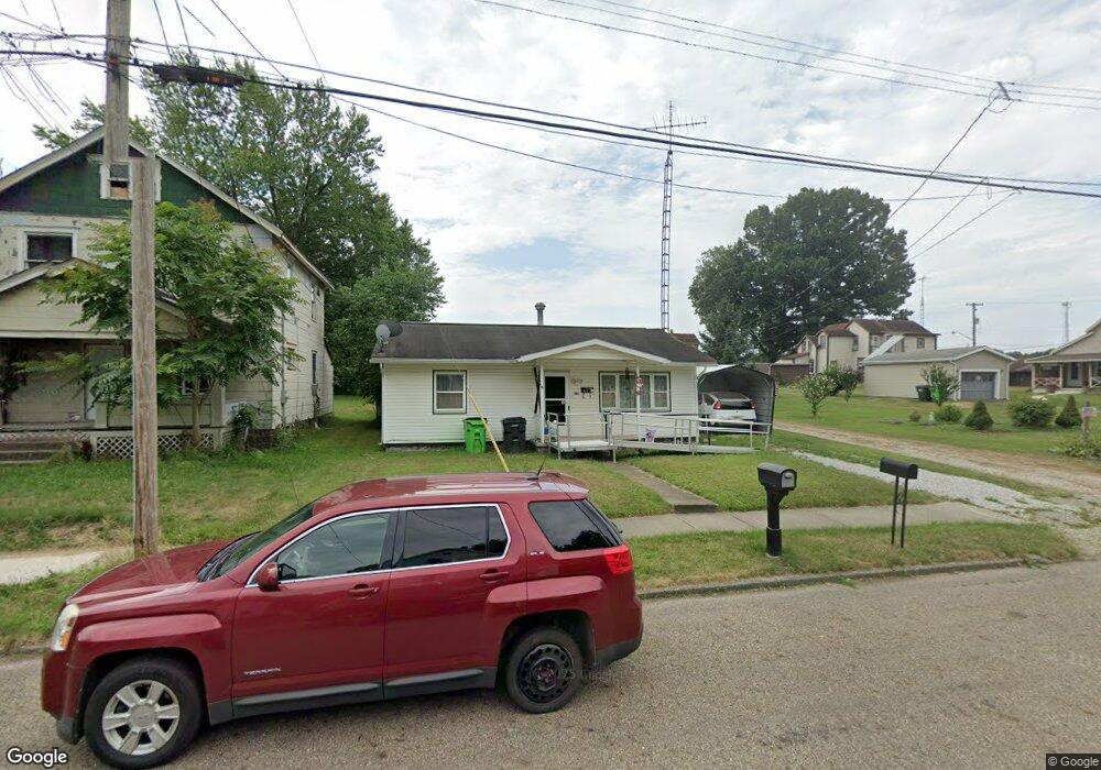
554 W Harrison St Alliance, OH 44601
Estimated Value: $102,000 - $120,000
3
Beds
2
Baths
960
Sq Ft
$113/Sq Ft
Est. Value
About This Home
This home is located at 554 W Harrison St, Alliance, OH 44601 and is currently estimated at $108,850, approximately $113 per square foot. 554 W Harrison St is a home located in Stark County with nearby schools including Alliance Early Learning School, Alliance Intermediate School at Northside, and Alliance Middle School.
Ownership History
Date
Name
Owned For
Owner Type
Purchase Details
Closed on
Sep 18, 2003
Sold by
Nichols Beverly Ann
Bought by
Vancamp Cheryl
Current Estimated Value
Home Financials for this Owner
Home Financials are based on the most recent Mortgage that was taken out on this home.
Original Mortgage
$50,240
Outstanding Balance
$23,626
Interest Rate
6.44%
Mortgage Type
Purchase Money Mortgage
Estimated Equity
$85,224
Purchase Details
Closed on
Jun 26, 2002
Sold by
Johnson Thomas W
Bought by
Nichols Beverly Ann
Purchase Details
Closed on
Nov 30, 1995
Sold by
Gibson Janice A
Bought by
Johnson Thomas W and Nichols Beverly
Purchase Details
Closed on
Jul 14, 1992
Create a Home Valuation Report for This Property
The Home Valuation Report is an in-depth analysis detailing your home's value as well as a comparison with similar homes in the area
Home Values in the Area
Average Home Value in this Area
Purchase History
| Date | Buyer | Sale Price | Title Company |
|---|---|---|---|
| Vancamp Cheryl | $62,800 | -- | |
| Nichols Beverly Ann | $20,000 | -- | |
| Johnson Thomas W | $39,900 | -- | |
| -- | -- | -- |
Source: Public Records
Mortgage History
| Date | Status | Borrower | Loan Amount |
|---|---|---|---|
| Open | Vancamp Cheryl | $50,240 | |
| Closed | Vancamp Cheryl | $12,560 |
Source: Public Records
Tax History Compared to Growth
Tax History
| Year | Tax Paid | Tax Assessment Tax Assessment Total Assessment is a certain percentage of the fair market value that is determined by local assessors to be the total taxable value of land and additions on the property. | Land | Improvement |
|---|---|---|---|---|
| 2025 | -- | $26,820 | $5,080 | $21,740 |
| 2024 | -- | $26,820 | $5,080 | $21,740 |
| 2023 | $349 | $17,850 | $5,040 | $12,810 |
| 2022 | $368 | $17,850 | $5,040 | $12,810 |
| 2021 | $368 | $17,850 | $5,040 | $12,810 |
| 2020 | $293 | $15,510 | $4,380 | $11,130 |
| 2019 | $289 | $15,510 | $4,380 | $11,130 |
| 2018 | $290 | $15,510 | $4,380 | $11,130 |
| 2017 | $150 | $12,180 | $2,940 | $9,240 |
| 2016 | $151 | $12,180 | $2,940 | $9,240 |
| 2015 | $127 | $11,620 | $2,940 | $8,680 |
| 2014 | $170 | $12,390 | $3,150 | $9,240 |
| 2013 | $85 | $12,390 | $3,150 | $9,240 |
Source: Public Records
Map
Nearby Homes
- 511 W Ely St
- 329 1/2 W Main St
- 345 W Market St
- 432 Johnson Ave
- 163 W Market St
- 132 S Haines Ave
- 000 Meadowbrook Ave
- 000 Klinger Ave
- 0 Meadowbrook Ave
- 710 N Freedom Ave
- 645 W Summit St
- 124 E Wayne St
- 725 W Summit St
- 427 S Union Ave
- 734 Parkway Blvd
- 140 W Summit St
- 0 Homestead Ave NE
- 361 E Main St
- 896 Parkway Blvd
- 356 E Broadway St
- 544 W Harrison St
- 351 N Rockhill Ave
- 588 W Harrison St
- 335 N Rockhill Ave
- 545 W Harrison St
- 522 W Harrison St
- 575 W Ely St
- 535 W Harrison St
- 567 W Harrison St
- 510 W Harrison St
- 583 W Ely St
- 505 W Harrison St
- 545 W Ely St
- 354 N Rockhill Ave
- 498 W Harrison St
- 360 N Rockhill Ave
- 406 N Rockhill Ave
- 469 W Harrison St
- 490 W Harrison St
- 414 N Rockhill Ave