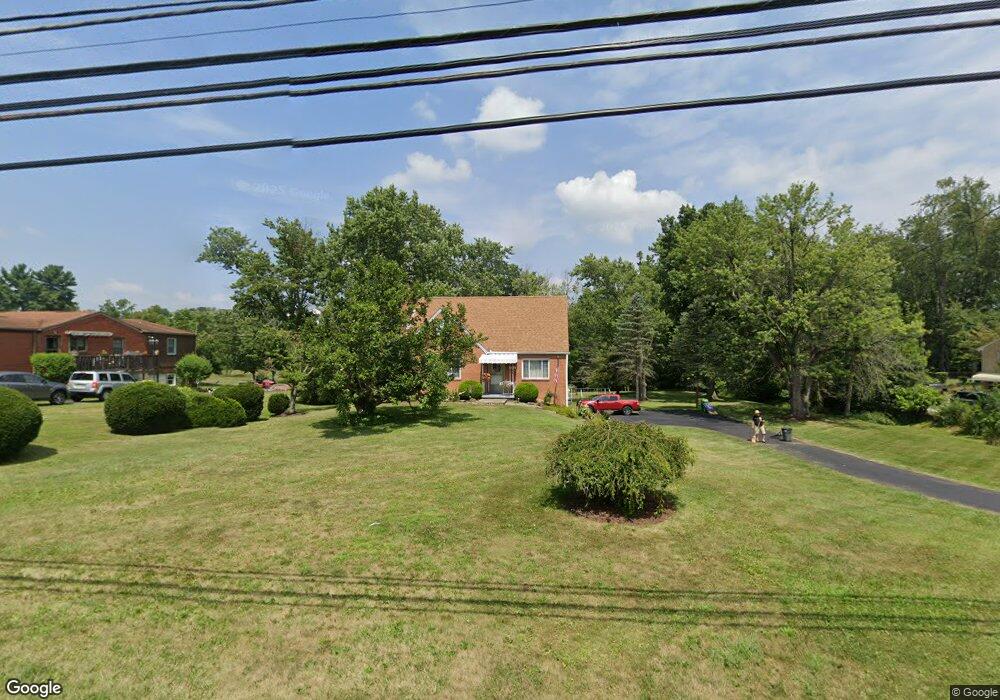
554 W Mcmurray Rd Canonsburg, PA 15317
Estimated Value: $309,000 - $349,000
4
Beds
2
Baths
1,551
Sq Ft
$214/Sq Ft
Est. Value
About This Home
This home is located at 554 W Mcmurray Rd, Canonsburg, PA 15317 and is currently estimated at $332,679, approximately $214 per square foot. 554 W Mcmurray Rd is a home located in Washington County with nearby schools including Canon-Mcmillan Senior High School.
Ownership History
Date
Name
Owned For
Owner Type
Purchase Details
Closed on
Nov 23, 2004
Sold by
Yencho John
Bought by
Thompson Paul
Current Estimated Value
Home Financials for this Owner
Home Financials are based on the most recent Mortgage that was taken out on this home.
Original Mortgage
$147,000
Interest Rate
5.71%
Mortgage Type
New Conventional
Purchase Details
Closed on
May 28, 2003
Sold by
Est Of Michael Beharry Sr
Bought by
Yencho John
Home Financials for this Owner
Home Financials are based on the most recent Mortgage that was taken out on this home.
Original Mortgage
$105,900
Interest Rate
5.86%
Mortgage Type
New Conventional
Create a Home Valuation Report for This Property
The Home Valuation Report is an in-depth analysis detailing your home's value as well as a comparison with similar homes in the area
Home Values in the Area
Average Home Value in this Area
Purchase History
| Date | Buyer | Sale Price | Title Company |
|---|---|---|---|
| Thompson Paul | $163,500 | -- | |
| Yencho John | $155,900 | -- |
Source: Public Records
Mortgage History
| Date | Status | Borrower | Loan Amount |
|---|---|---|---|
| Previous Owner | Thompson Paul | $147,000 | |
| Previous Owner | Yencho John | $105,900 |
Source: Public Records
Tax History Compared to Growth
Tax History
| Year | Tax Paid | Tax Assessment Tax Assessment Total Assessment is a certain percentage of the fair market value that is determined by local assessors to be the total taxable value of land and additions on the property. | Land | Improvement |
|---|---|---|---|---|
| 2025 | $2,964 | $173,400 | $92,100 | $81,300 |
| 2024 | $2,767 | $173,400 | $92,100 | $81,300 |
| 2023 | $2,767 | $173,400 | $92,100 | $81,300 |
| 2022 | $2,759 | $173,400 | $92,100 | $81,300 |
| 2021 | $2,759 | $173,400 | $92,100 | $81,300 |
| 2020 | $2,620 | $173,400 | $92,100 | $81,300 |
| 2019 | $2,577 | $173,400 | $92,100 | $81,300 |
| 2018 | $2,523 | $173,400 | $92,100 | $81,300 |
| 2017 | $443 | $173,400 | $92,100 | $81,300 |
| 2016 | $443 | $12,688 | $2,925 | $9,763 |
| 2015 | $1,399 | $12,688 | $2,925 | $9,763 |
| 2014 | $462 | $12,688 | $2,925 | $9,763 |
| 2013 | $462 | $12,688 | $2,925 | $9,763 |
Source: Public Records
Map
Nearby Homes
- 1029 Woodlawn Dr
- 151 Liberty Blvd
- The Grant Plan at Southpointe
- The Betsy Ross Plan at Southpointe
- The Hancock Plan at Southpointe
- The Washington Plan at Southpointe
- The Franklin Plan at Southpointe
- 235 Liberty Blvd
- 1009 Waterford Ct W
- 118 Maple Ridge Dr
- 113 Maple Ridge Ct
- 1047 Waterford Ct E
- 205 Maple Ridge Dr
- 612 Hunting Creek Rd
- 153 Twilight Dr
- 454 Independence Way
- 93 Skyview Dr
- 238 Maple Ridge Dr
- 139 Heather Dr
- 606 Spruce Ln
- 556 W Mcmurray Rd
- 550 W Mcmurray Rd
- 1005 Woodlawn Dr
- 562 W Mcmurray Rd
- 1007 Woodlawn Dr
- 1009 Woodlawn Dr
- 1009 Woodlawn Dr
- 546 W Mcmurray Rd
- 1011 Woodlawn Dr
- 1013 Woodlawn Dr
- 564 W Mcmurray Rd
- 1015 Woodlawn Dr
- 000 W Mcmurray Rd
- 0 W Mcmurray Rd Unit 1325676
- 0 W Mcmurray Rd Unit 1266896
- 0 W Mcmurray Rd Unit 1611858
- 0 W Mcmurray Rd Unit 1555223
- 0 W Mcmurray Rd Unit 1489334
- 0 W Mcmurray Rd Unit 1439318
- 0 W Mcmurray Rd Unit 1383417