5542 E Dyer Rd Twining, MI 48766
Estimated Value: $171,000 - $195,847
Studio
--
Bath
--
Sq Ft
110,207
Sq Ft
About This Home
This home is located at 5542 E Dyer Rd, Twining, MI 48766 and is currently estimated at $181,462. 5542 E Dyer Rd is a home located in Arenac County with nearby schools including Whittemore-Prescott Elementary School and Whittemore-Prescott Junior/Senior High School.
Ownership History
Date
Name
Owned For
Owner Type
Purchase Details
Closed on
Feb 7, 2023
Sold by
Whitacre Lori
Bought by
Coburn Reginald B
Current Estimated Value
Purchase Details
Closed on
Oct 28, 2017
Sold by
Morley Calvin and Morley Calvin
Bought by
Coburn Reginald B and Coburn Reginald B
Purchase Details
Closed on
Apr 1, 2014
Sold by
Federal National Mortgage Association
Bought by
Mclean Al
Purchase Details
Closed on
Oct 9, 2012
Sold by
Reverse Mortgage Solutions Inc
Bought by
Federal National Mortgage Association
Purchase Details
Closed on
Oct 5, 2012
Sold by
Arenac County Sheriff Dept
Bought by
Reverse Mortgage Solutions Inc
Create a Home Valuation Report for This Property
The Home Valuation Report is an in-depth analysis detailing your home's value as well as a comparison with similar homes in the area
Purchase History
| Date | Buyer | Sale Price | Title Company |
|---|---|---|---|
| Coburn Reginald B | $54,000 | -- | |
| Coburn Reginald B | -- | None Available | |
| Mclean Al | $47,000 | -- | |
| Federal National Mortgage Association | -- | -- | |
| Reverse Mortgage Solutions Inc | $120,492 | -- |
Source: Public Records
Tax History
| Year | Tax Paid | Tax Assessment Tax Assessment Total Assessment is a certain percentage of the fair market value that is determined by local assessors to be the total taxable value of land and additions on the property. | Land | Improvement |
|---|---|---|---|---|
| 2025 | $1,944 | $78,600 | $0 | $0 |
| 2024 | $867 | $76,900 | $0 | $0 |
| 2023 | $515 | $68,600 | $0 | $0 |
| 2022 | $1,067 | $55,700 | $0 | $0 |
| 2021 | $1,030 | $53,300 | $0 | $0 |
| 2020 | $1,011 | $51,400 | $0 | $0 |
| 2019 | $939 | $40,700 | $0 | $0 |
| 2018 | $1,923 | $46,600 | $0 | $0 |
| 2017 | $0 | $37,700 | $0 | $0 |
| 2016 | $800 | $38,500 | $0 | $0 |
| 2015 | $326 | $37,800 | $0 | $0 |
| 2014 | $326 | $31,600 | $0 | $0 |
| 2013 | -- | $31,600 | $0 | $0 |
Source: Public Records
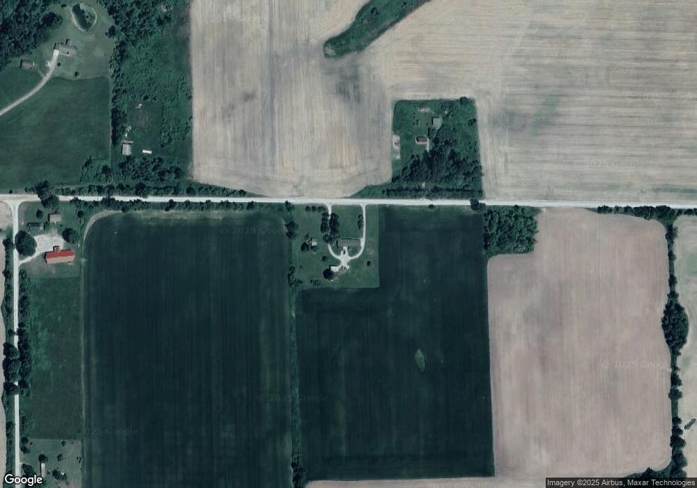
Map
Nearby Homes
- 00 Maple Ridge Rd
- 5229 Sage Lake Rd
- 3144 W Maple Ridge Rd
- 220 E Harrison St
- Lot 86 West
- 310 Harrison Rd
- 300 Harrison Rd
- 0 Harrison Rd
- 3669 W Lagrant Rd
- 312 E Harrison St
- 2788 Greenwood Rd
- 1445 Reed Rd
- 388 W Lagrant Rd
- 7212 W Dyer Rd
- 4290 S Lake Dr
- N/A Lehman Rd
- 77 W Mason Rd
- 4589 Cranberry Lake Dr
- 4333 Stuart Rd
- 6824 Keystone Rd
- 5542 E Dyer Rd
- 5536 E Dyer Rd
- 5421 County Line Rd
- 474 W Hull Rd
- 2580 N Hull Rd
- 2546 N Hull Rd
- 5857 Mogg Rd
- 5856 Mogg Rd
- 3840 Mclean Rd
- 5897 Black Rd
- 1181 N North Rd
- 1181 N North Rd
- 1181 N North Rd
- 1181 N North Rd
- 5825 E Dyer Rd
- 5768 Mogg Rd
- 5871 County Line Rd
- 5724 Mogg Rd
- 5731 Mogg Rd
- 5896 Black Rd
Your Personal Tour Guide
Ask me questions while you tour the home.