5542 E Helmsman Dr Port Clinton, OH 43452
Estimated Value: $253,286 - $296,000
2
Beds
1
Bath
735
Sq Ft
$372/Sq Ft
Est. Value
About This Home
This home is located at 5542 E Helmsman Dr, Port Clinton, OH 43452 and is currently estimated at $273,072, approximately $371 per square foot. 5542 E Helmsman Dr is a home located in Ottawa County with nearby schools including Bataan Memorial Primary School, Bataan Memorial Intermediate School, and Port Clinton Middle School.
Ownership History
Date
Name
Owned For
Owner Type
Purchase Details
Closed on
Sep 5, 2012
Sold by
Patterson Mary Jane
Bought by
Volchko Elizabeth A and Elizabeth A Volchko Trust
Current Estimated Value
Purchase Details
Closed on
Aug 7, 2012
Sold by
Patterson Mary Jane
Bought by
Volchko Elizabeth
Purchase Details
Closed on
Dec 2, 2008
Sold by
Estate Of Mary K Patterson
Bought by
Patterson Mary J and Volchko Elizabeth A
Purchase Details
Closed on
Nov 1, 2008
Sold by
Patterson Mary J and Volchko Elizabeth A
Bought by
Patterson Mary J and Volchko Elizabeth A
Purchase Details
Closed on
Sep 13, 2008
Sold by
Patterson Mary J and Volchko Elizabeth A
Bought by
Patterson Mary J and Volchko Elizabeth A
Purchase Details
Closed on
Jun 17, 1993
Sold by
Patterson Harold and Patterson Mary
Bought by
Patterson Harold and Patterson Mary
Create a Home Valuation Report for This Property
The Home Valuation Report is an in-depth analysis detailing your home's value as well as a comparison with similar homes in the area
Home Values in the Area
Average Home Value in this Area
Purchase History
| Date | Buyer | Sale Price | Title Company |
|---|---|---|---|
| Volchko Elizabeth A | -- | None Available | |
| Volchko Elizabeth | $38,200 | None Available | |
| Patterson Mary J | -- | None Available | |
| Patterson Mary J | -- | Attorney | |
| Patterson Mary J | -- | Attorney | |
| Patterson Harold | -- | -- |
Source: Public Records
Tax History Compared to Growth
Tax History
| Year | Tax Paid | Tax Assessment Tax Assessment Total Assessment is a certain percentage of the fair market value that is determined by local assessors to be the total taxable value of land and additions on the property. | Land | Improvement |
|---|---|---|---|---|
| 2024 | $2,145 | $66,151 | $29,187 | $36,964 |
| 2023 | $2,145 | $38,682 | $14,595 | $24,087 |
| 2022 | $1,378 | $38,682 | $14,595 | $24,087 |
| 2021 | $1,376 | $38,690 | $14,600 | $24,090 |
| 2020 | $1,059 | $28,640 | $11,060 | $17,580 |
| 2019 | $1,048 | $28,640 | $11,060 | $17,580 |
| 2018 | $1,047 | $28,640 | $11,060 | $17,580 |
| 2017 | $1,041 | $28,080 | $8,930 | $19,150 |
| 2016 | $1,044 | $28,080 | $8,930 | $19,150 |
| 2015 | $1,034 | $27,700 | $8,930 | $18,770 |
| 2014 | $410 | $22,480 | $8,510 | $13,970 |
| 2013 | $822 | $22,480 | $8,510 | $13,970 |
Source: Public Records
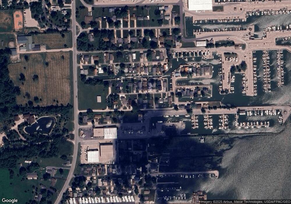
Map
Nearby Homes
- 5510 E Center Ln
- 5411 E Channel Dr
- 5475 E Mabel Dr
- 2734 NE Catawba Rd
- 2970 N Swift Dr
- 2822 N Noreaster Cove Dr
- 3046 N Searay Dr
- 2888 N Coho Dr
- 2750 Canterbury Cir Unit C
- 2531 E Torino Dr
- 2591 N Torino Dr
- 2901 Villa Ct Unit C
- 2769 N Canterbury Cir Unit B
- 2769 Canterbury Cir
- 2914 N Perch Row
- 4862 Tradewinds Dr
- 2855 N Canterbury Cir Unit A
- 1963 NE Catawba Rd Unit 411
- 1963 NE Catawba Rd Unit 431
- 1963 NE Catawba Rd Unit 422
- 5532 E Helmsman Dr
- 0 E Helmsman Dr
- 5522 E Helmsman Dr
- 1570 E Starboard Dr
- 1591 E Starboard Dr
- 1661 E Starboard Dr
- 5552 E Helmsman Dr
- 5572 E Helmsman Dr
- 5572 E Helmsman Dr
- 5512 E Helmsman Dr
- 5543 E Helmsman Dr
- 5553 E Helmsman Dr
- 5523 E Helmsman Dr
- 5535 E Treasure Ln
- 5533 E Helmsman Dr
- 5563 E Helmsman Dr
- 5502 E Helmsman Dr
- 5582 E Helmsman Dr
- 5573 E Helmsman Dr
- 5513 E Helmsman Dr