5542 Stringer Rd Fruitport, MI 49415
Estimated Value: $343,000 - $494,473
3
Beds
3
Baths
1,860
Sq Ft
$224/Sq Ft
Est. Value
About This Home
This home is located at 5542 Stringer Rd, Fruitport, MI 49415 and is currently estimated at $417,158, approximately $224 per square foot. 5542 Stringer Rd is a home located in Muskegon County with nearby schools including Fruitport High School and Calvary Christian Schools.
Ownership History
Date
Name
Owned For
Owner Type
Purchase Details
Closed on
Jun 23, 2008
Sold by
Macatawa Bank
Bought by
Sinclair Scott D and Sinclair Lori
Current Estimated Value
Home Financials for this Owner
Home Financials are based on the most recent Mortgage that was taken out on this home.
Original Mortgage
$40,000
Interest Rate
6.05%
Mortgage Type
Purchase Money Mortgage
Purchase Details
Closed on
Oct 18, 2007
Sold by
Fri Joshua I and Fri Jamie
Bought by
Macatawa Bank
Purchase Details
Closed on
Jul 19, 2006
Sold by
Fri Matthew T
Bought by
Fri Joshua I
Home Financials for this Owner
Home Financials are based on the most recent Mortgage that was taken out on this home.
Original Mortgage
$80,000
Interest Rate
6.82%
Mortgage Type
Purchase Money Mortgage
Purchase Details
Closed on
May 4, 2006
Sold by
Fri Thomas I and Fri Sally J
Bought by
Fri Matthew T
Create a Home Valuation Report for This Property
The Home Valuation Report is an in-depth analysis detailing your home's value as well as a comparison with similar homes in the area
Home Values in the Area
Average Home Value in this Area
Purchase History
| Date | Buyer | Sale Price | Title Company |
|---|---|---|---|
| Sinclair Scott D | -- | Harbor Title | |
| Macatawa Bank | -- | Rei | |
| Fri Joshua I | -- | Unified Title & Settlement | |
| Fri Matthew T | -- | None Available |
Source: Public Records
Mortgage History
| Date | Status | Borrower | Loan Amount |
|---|---|---|---|
| Closed | Sinclair Scott D | $40,000 | |
| Previous Owner | Fri Joshua I | $80,000 |
Source: Public Records
Tax History
| Year | Tax Paid | Tax Assessment Tax Assessment Total Assessment is a certain percentage of the fair market value that is determined by local assessors to be the total taxable value of land and additions on the property. | Land | Improvement |
|---|---|---|---|---|
| 2025 | $4,438 | $242,900 | $0 | $0 |
| 2024 | $3,158 | $205,500 | $0 | $0 |
| 2023 | $3,019 | $190,100 | $0 | $0 |
| 2022 | $3,907 | $164,600 | $0 | $0 |
| 2021 | $3,842 | $156,700 | $0 | $0 |
| 2020 | $3,757 | $146,200 | $0 | $0 |
| 2019 | $3,687 | $140,800 | $0 | $0 |
| 2018 | $3,601 | $132,400 | $0 | $0 |
| 2017 | $3,585 | $128,700 | $0 | $0 |
| 2016 | $2,143 | $118,400 | $0 | $0 |
| 2015 | -- | $112,600 | $0 | $0 |
| 2014 | -- | $112,000 | $0 | $0 |
| 2013 | -- | $105,300 | $0 | $0 |
Source: Public Records
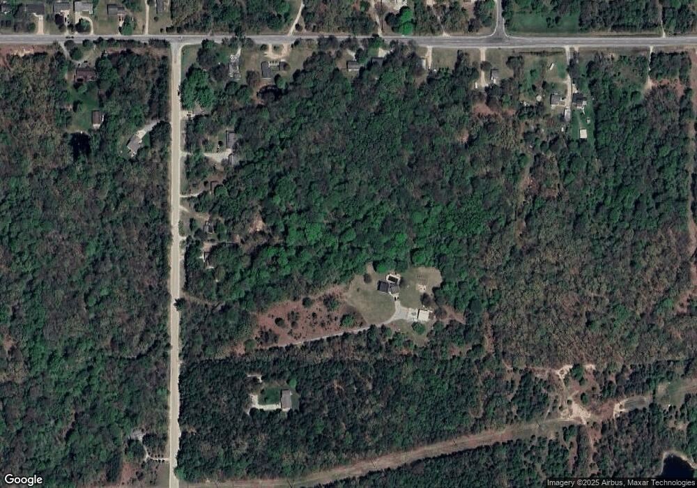
Map
Nearby Homes
- 3317 E Sternberg Rd
- 0 E Pontaluna Rd Unit 25045508
- VL - B E Sternberg Rd
- 0 E Mount Garfield Rd
- VL Farr Rd
- VL Lot 3 S Carr Rd
- 5630 Copper Sands Run
- 2601 Eagle Ridge
- 6218 Sturgeon Run
- 6250 Sturgeon Run
- 2507 Gray Wolf Way
- 0 S Brooks Rd Unit 1-A 25024373
- 0 S Brooks Rd Unit lot 2-B 25024342
- 6268 Sturgeon Run
- 6308 Sturgeon Run
- 2489 Gray Wolf Way
- 6326 Sturgeon Run
- 2468 Gray Wolf Way
- 2539 Otter Place
- 2471 Gray Wolf Way
- 5528 Stringer Rd
- 5476 Stringer Rd
- 5454 Stringer Rd
- 5445 Stringer Rd
- 5434 Stringer Rd
- 5626 Stringer Rd
- 5556 Stringer Rd
- 5655 Stringer Rd
- 3837 E Sternberg Rd
- 3759 E Sternberg Rd
- 3905 E Sternberg Rd
- 3919 E Sternberg Rd
- 3969 E Sternberg Rd
- 5714 Stringer Rd
- 3661 E Sternberg Rd
- 3944 E Sternberg Rd
- 3999 E Sternberg Rd
- 5743 Stringer Rd
- 3625 E Sternberg Rd
- 3611 E Sternberg Rd
Your Personal Tour Guide
Ask me questions while you tour the home.