5542 W Anderson Ave Rathdrum, ID 83858
Estimated Value: $905,789 - $1,084,000
4
Beds
3
Baths
2,430
Sq Ft
$398/Sq Ft
Est. Value
About This Home
This home is located at 5542 W Anderson Ave, Rathdrum, ID 83858 and is currently estimated at $965,930, approximately $397 per square foot. 5542 W Anderson Ave is a home located in Kootenai County with nearby schools including Twin Lakes Elementary School, Lakeland Middle School, and Lakeland Senior High School.
Ownership History
Date
Name
Owned For
Owner Type
Purchase Details
Closed on
Feb 2, 2020
Sold by
Crouse Jason G and Crouse Rebecca J
Bought by
Crouse Jason and Crouse Rebecca
Current Estimated Value
Home Financials for this Owner
Home Financials are based on the most recent Mortgage that was taken out on this home.
Original Mortgage
$328,000
Interest Rate
3.5%
Mortgage Type
New Conventional
Purchase Details
Closed on
Oct 5, 2016
Sold by
Alfson Janice and Storay Tom
Bought by
Crouse Jason G and Crouse Rebecca J
Purchase Details
Closed on
Sep 8, 2016
Sold by
Anderson Douglas J and Anderson Peggy
Bought by
Alfson Janice L and Storey Tom
Create a Home Valuation Report for This Property
The Home Valuation Report is an in-depth analysis detailing your home's value as well as a comparison with similar homes in the area
Home Values in the Area
Average Home Value in this Area
Purchase History
| Date | Buyer | Sale Price | Title Company |
|---|---|---|---|
| Crouse Jason | -- | Titleone Boise | |
| Crouse Jason G | -- | Pioneer Title Kootenai Count | |
| Alfson Janice L | -- | Pioneer Title Kootenai Count |
Source: Public Records
Mortgage History
| Date | Status | Borrower | Loan Amount |
|---|---|---|---|
| Previous Owner | Crouse Jason | $328,000 |
Source: Public Records
Tax History Compared to Growth
Tax History
| Year | Tax Paid | Tax Assessment Tax Assessment Total Assessment is a certain percentage of the fair market value that is determined by local assessors to be the total taxable value of land and additions on the property. | Land | Improvement |
|---|---|---|---|---|
| 2025 | $2,127 | $748,063 | $314,033 | $434,030 |
| 2024 | $2,127 | $697,224 | $280,264 | $416,960 |
| 2023 | $2,127 | $719,724 | $302,764 | $416,960 |
| 2022 | $2,442 | $717,920 | $300,960 | $416,960 |
| 2021 | $2,440 | $469,384 | $164,914 | $304,470 |
| 2020 | $2,529 | $407,455 | $123,165 | $284,290 |
| 2019 | $2,766 | $393,186 | $125,946 | $267,240 |
| 2018 | $2,817 | $362,533 | $118,773 | $243,760 |
| 2017 | $736 | $0 | $0 | $0 |
| 2016 | $258 | $99,550 | $86,230 | $13,320 |
| 2015 | $238 | $66,570 | $52,500 | $14,070 |
| 2013 | $226 | $63,738 | $50,748 | $12,990 |
Source: Public Records
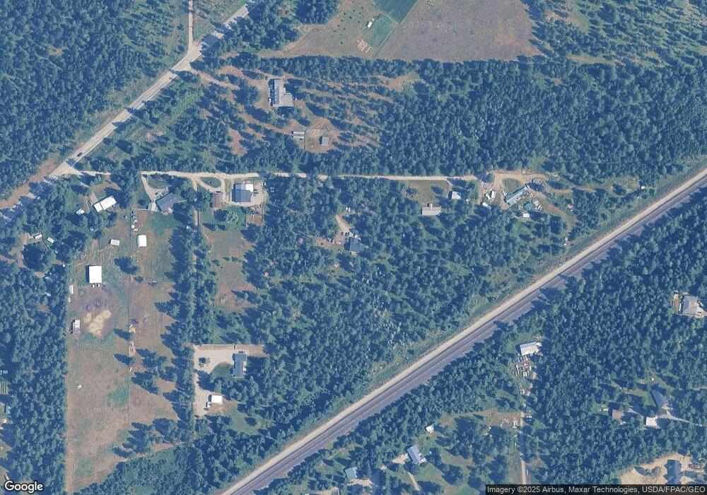
Map
Nearby Homes
- 16185 N Hadley Loop
- 11781 N Banford Ln
- 16171 N Hadley Loop
- 16188 N Hadley Loop
- 6023 Theismann Rd
- 6179 Pelican Loop
- 6139 Pelican Loop
- 6133 Pelican Loop
- 6115 Pelican Loop
- 6096 Pelican Loop
- 6093 Pelican Loop
- 6078 Pelican Loop
- 6073 Pelican Loop
- 6051 Pelican Loop
- 6033 Pelican Loop
- 6004 Pelican Loop
- 5980 Pelican Loop
- 5973 Pelican Loop
- 5955 Pelican Loop
- 6221 W Astoria Loop
- 5542 W Anderson Ave
- 5350 W Anderson Ave
- 5322 W Anderson Ave
- 5550 W Anderson Ave
- 5578 W Anderson Ave
- 6918 W Diagonal Rd
- 5274 W Anderson Ave
- 5664 W Anderson Ave
- 5610 W Anderson Ave
- 6704 W Diagonal Rd
- 5728 W Anderson Ave
- 17300 N Trails End Rd
- 17301 N Trails End Rd
- 6711 W Diagonal Rd
- 17250 Trail Cir
- 17305 N Fowler Rd
- 17371 N Fowler Rd
- NKA Fowler
- 7254 W Diagonal Rd
- 6905 W Diagonal Rd