Estimated Value: $243,000 - $331,000
3
Beds
2
Baths
1,431
Sq Ft
$209/Sq Ft
Est. Value
About This Home
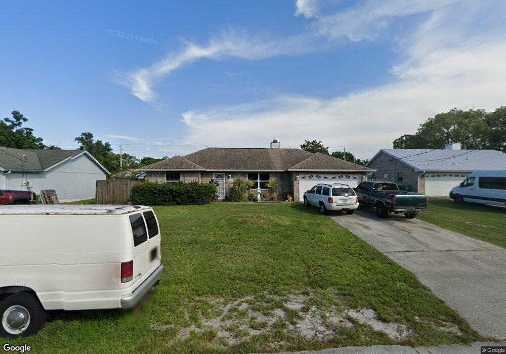
This home is located at 5545 Flint Rd, Cocoa, FL 32927 and is currently estimated at $298,604, approximately $208 per square foot. 5545 Flint Rd is a home located in Brevard County with nearby schools including Enterprise Elementary School, Space Coast Junior/Senior High School, and East Atlantic Prep of Brevard County.
Ownership History
Date
Name
Owned For
Owner Type
Purchase Details
Closed on
Jul 30, 2004
Sold by
Akselrad Sandra M
Bought by
Foss Wayne M and Foss Debra R
Current Estimated Value
Home Financials for this Owner
Home Financials are based on the most recent Mortgage that was taken out on this home.
Original Mortgage
$88,305
Outstanding Balance
$44,427
Interest Rate
6.22%
Estimated Equity
$254,177
Purchase Details
Closed on
Jun 20, 2003
Sold by
Batterton Nancy M and Batterton James Clayton
Bought by
Akselrad Sandra M
Home Financials for this Owner
Home Financials are based on the most recent Mortgage that was taken out on this home.
Original Mortgage
$35,000
Interest Rate
5.43%
Purchase Details
Closed on
Feb 19, 1999
Sold by
Greer Earl A
Bought by
Greer Nancy M
Create a Home Valuation Report for This Property
The Home Valuation Report is an in-depth analysis detailing your home's value as well as a comparison with similar homes in the area
Home Values in the Area
Average Home Value in this Area
Purchase History
| Date | Buyer | Sale Price | Title Company |
|---|---|---|---|
| Foss Wayne M | $152,000 | Aurora Title | |
| Akselrad Sandra M | $113,000 | Aurora Title | |
| Greer Nancy M | -- | -- |
Source: Public Records
Mortgage History
| Date | Status | Borrower | Loan Amount |
|---|---|---|---|
| Open | Foss Wayne M | $88,305 | |
| Previous Owner | Akselrad Sandra M | $35,000 |
Source: Public Records
Tax History
| Year | Tax Paid | Tax Assessment Tax Assessment Total Assessment is a certain percentage of the fair market value that is determined by local assessors to be the total taxable value of land and additions on the property. | Land | Improvement |
|---|---|---|---|---|
| 2025 | $1,446 | $105,610 | -- | -- |
| 2024 | $1,409 | $102,640 | -- | -- |
| 2023 | $1,409 | $99,660 | $0 | $0 |
| 2022 | $1,313 | $96,760 | $0 | $0 |
| 2021 | $1,311 | $93,950 | $0 | $0 |
| 2020 | $1,248 | $92,660 | $0 | $0 |
| 2019 | $1,183 | $90,580 | $0 | $0 |
| 2018 | $1,175 | $88,900 | $0 | $0 |
| 2017 | $1,167 | $87,080 | $0 | $0 |
| 2016 | $1,167 | $85,290 | $18,000 | $67,290 |
| 2015 | $1,179 | $84,700 | $15,000 | $69,700 |
| 2014 | $1,180 | $84,030 | $11,000 | $73,030 |
Source: Public Records
Map
Nearby Homes
- 6438 Hudson Rd
- 6481 La Brea Ave
- 5720 Flint Rd
- 5220 Holden Rd
- 6450 Ember Ave
- 5215 Holden Rd
- 5221 Carrick Rd
- 5946 Deer Ln
- 5715 Fairbridge St
- 5945 Coker Ave
- 6020 Cannon Ave
- 6581 Bancroft Ave
- 6615 Dock Ave
- 00 Unknown
- 6094 Cardiff Ave
- 6365 Homestead Ave
- 6375 Cable Ave
- 23-35-21-JX-B-2 Aruin St
- 6760 Cairo Rd
- 6010 Fay Blvd
Your Personal Tour Guide
Ask me questions while you tour the home.