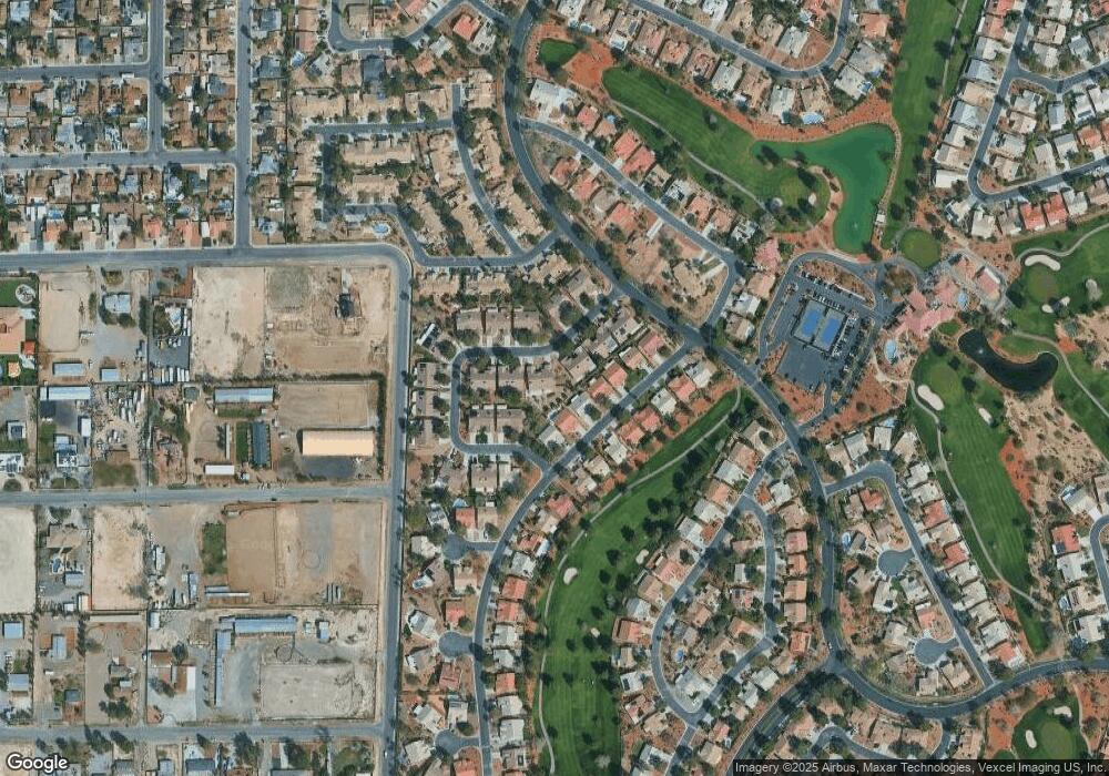
5545 Port Barrington Way Unit 2 Las Vegas, NV 89130
North Cheyenne NeighborhoodEstimated Value: $356,000 - $381,000
3
Beds
2
Baths
1,587
Sq Ft
$231/Sq Ft
Est. Value
About This Home
This home is located at 5545 Port Barrington Way Unit 2, Las Vegas, NV 89130 and is currently estimated at $366,348, approximately $230 per square foot. 5545 Port Barrington Way Unit 2 is a home located in Clark County with nearby schools including Ernest May Elementary School, Theron L Swainston Middle School, and Shadow Ridge High School.
Ownership History
Date
Name
Owned For
Owner Type
Purchase Details
Closed on
Aug 24, 2010
Sold by
Harren John F and Harren Mary
Bought by
Harren John F and Harren Mary
Current Estimated Value
Purchase Details
Closed on
Apr 14, 2010
Sold by
Fannie Mae
Bought by
Harren John F and Harren Mary
Purchase Details
Closed on
Feb 10, 2010
Sold by
Sheehan Donald Francis and Sheehan Jeanne Therese
Bought by
Federal National Mortgage Association
Create a Home Valuation Report for This Property
The Home Valuation Report is an in-depth analysis detailing your home's value as well as a comparison with similar homes in the area
Home Values in the Area
Average Home Value in this Area
Purchase History
| Date | Buyer | Sale Price | Title Company |
|---|---|---|---|
| Harren John F | -- | None Available | |
| Harren John F | $130,950 | Stewart Title Las Vegas War | |
| Federal National Mortgage Association | $118,268 | Accommodation |
Source: Public Records
Tax History Compared to Growth
Tax History
| Year | Tax Paid | Tax Assessment Tax Assessment Total Assessment is a certain percentage of the fair market value that is determined by local assessors to be the total taxable value of land and additions on the property. | Land | Improvement |
|---|---|---|---|---|
| 2025 | $1,236 | $78,342 | $30,800 | $47,542 |
| 2024 | $1,201 | $78,342 | $30,800 | $47,542 |
| 2023 | $1,201 | $73,742 | $29,645 | $44,097 |
| 2022 | $1,168 | $64,192 | $22,050 | $42,142 |
| 2021 | $1,136 | $53,972 | $19,250 | $34,722 |
| 2020 | $1,099 | $55,699 | $19,250 | $36,449 |
| 2019 | $1,067 | $52,513 | $16,100 | $36,413 |
| 2018 | $1,080 | $48,428 | $13,300 | $35,128 |
| 2017 | $1,496 | $48,265 | $12,950 | $35,315 |
| 2016 | $939 | $45,408 | $9,100 | $36,308 |
| 2015 | $937 | $37,786 | $6,650 | $31,136 |
| 2014 | $909 | $29,332 | $5,250 | $24,082 |
Source: Public Records
Map
Nearby Homes
- 5600 Segolilly Cir
- 5004 Rancho Bernardo Way
- 5605 Bay Shore Cir
- 5229 Shady Grove Ln
- 5204 Rim View Ln
- 4905 Ocean Shores Way
- 5876 Filmore Ave
- 5876 Tippin Dr
- 5620 N Jones Blvd
- 5408 Fountain Palm St
- 4933 Fiesta Lakes St
- 4833 Fiesta Lakes St
- 4872 Maryvale Dr
- 4821 Fiesta Lakes St
- 5021 Cliffrose Dr
- 5260 N Jones Blvd
- 5333 Rim View Ln
- 4816 Fiesta Lakes St
- 5017 Cliffrose Dr
- 5433 Honey Mesquite Ln
- 5549 Port Barrington Way
- 5601 Port Barrington Way
- 5113 Linkside Dr
- 5109 Linkside Dr
- 5537 Port Barrington Way
- 5600 Beach Mill Way Unit 2
- 5117 Linkside Dr Unit 2
- 5605 Port Barrington Way
- 5105 Linkside Dr
- 5533 Port Barrington Way
- 5604 Beach Mill Way
- 5540 Port Barrington Way
- 5609 Port Barrington Way
- 5121 Linkside Dr
- 5529 Port Barrington Way
- 5600 Port Barrington Way
- 5536 Port Barrington Way
- 5613 Port Barrington Way Unit 2
- 5604 Port Barrington Way
- 5532 Port Barrington Way
