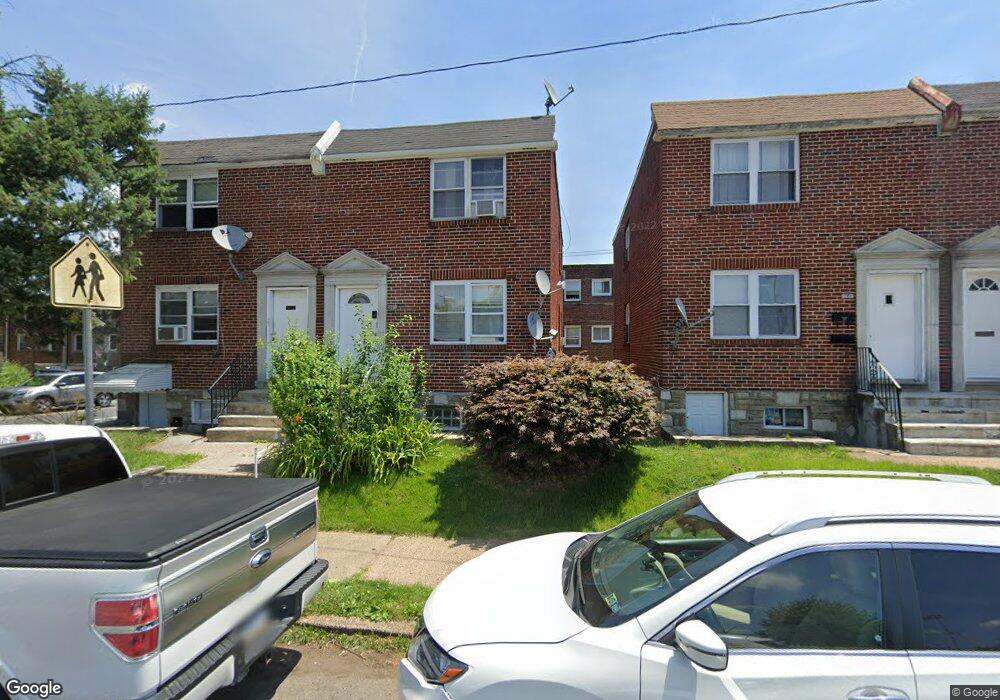
5547 B St Philadelphia, PA 19120
Olney NeighborhoodEstimated Value: $154,070 - $216,000
--
Bed
2
Baths
1,306
Sq Ft
$148/Sq Ft
Est. Value
About This Home
This home is located at 5547 B St, Philadelphia, PA 19120 and is currently estimated at $192,690, approximately $147 per square foot. 5547 B St is a home with nearby schools including Olney Elementary School, Olney Charter High School, and Olney Christian School.
Ownership History
Date
Name
Owned For
Owner Type
Purchase Details
Closed on
Jul 27, 2015
Sold by
Monzon Armando and Lopez Thelma Y
Bought by
Lopez Thelma Y
Current Estimated Value
Purchase Details
Closed on
Dec 10, 1999
Sold by
Economical Homes Corp
Bought by
Monzon Armando and Lopez Thelma Y
Home Financials for this Owner
Home Financials are based on the most recent Mortgage that was taken out on this home.
Original Mortgage
$26,400
Interest Rate
7.61%
Mortgage Type
Commercial
Create a Home Valuation Report for This Property
The Home Valuation Report is an in-depth analysis detailing your home's value as well as a comparison with similar homes in the area
Home Values in the Area
Average Home Value in this Area
Purchase History
| Date | Buyer | Sale Price | Title Company |
|---|---|---|---|
| Lopez Thelma Y | -- | None Available | |
| Monzon Armando | $33,000 | First American Title Ins Co |
Source: Public Records
Mortgage History
| Date | Status | Borrower | Loan Amount |
|---|---|---|---|
| Closed | Monzon Armando | $26,400 |
Source: Public Records
Tax History Compared to Growth
Tax History
| Year | Tax Paid | Tax Assessment Tax Assessment Total Assessment is a certain percentage of the fair market value that is determined by local assessors to be the total taxable value of land and additions on the property. | Land | Improvement |
|---|---|---|---|---|
| 2025 | $2,585 | $208,900 | $41,780 | $167,120 |
| 2024 | $2,585 | $208,900 | $41,780 | $167,120 |
| 2023 | $2,585 | $184,700 | $36,940 | $147,760 |
| 2022 | $1,566 | $184,700 | $36,940 | $147,760 |
| 2021 | $1,566 | $0 | $0 | $0 |
| 2020 | $1,566 | $0 | $0 | $0 |
| 2019 | $1,456 | $0 | $0 | $0 |
| 2018 | $1,246 | $0 | $0 | $0 |
| 2017 | $1,246 | $0 | $0 | $0 |
| 2016 | $1,246 | $0 | $0 | $0 |
| 2015 | $1,193 | $0 | $0 | $0 |
| 2014 | -- | $89,000 | $8,002 | $80,998 |
| 2012 | -- | $16,160 | $1,120 | $15,040 |
Source: Public Records
Map
Nearby Homes
- 5539 B St
- 318 E Gale St
- 5600 Arbor St
- 316 R E Clarkson Ave Unit 4
- 5516 Westford Rd
- 5441 Westford Rd
- 5413 N Front St
- 220 E Tabor Rd
- 565 E Tabor Rd
- 136 W Clarkson Ave
- 5815 N Front St
- 5212 D St
- 5834 N Hope St
- 164 W Clarkson Ave
- 5531 N 2nd St
- 5157 C St
- 5511 N 2nd St
- 150 W Fisher Ave
- 5832 N Mascher St
- 5619 N American St