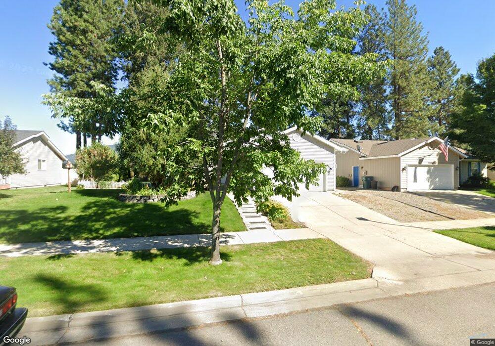
5548 N Atlantic Dr Coeur D'Alene, ID 83815
Ramsey-Woodland NeighborhoodEstimated Value: $452,228 - $490,000
3
Beds
2
Baths
1,794
Sq Ft
$261/Sq Ft
Est. Value
About This Home
This home is located at 5548 N Atlantic Dr, Coeur D'Alene, ID 83815 and is currently estimated at $468,807, approximately $261 per square foot. 5548 N Atlantic Dr is a home located in Kootenai County with nearby schools including Winton Elementary School, Lakes Magnet Middle School, and Lake City High School.
Ownership History
Date
Name
Owned For
Owner Type
Purchase Details
Closed on
Aug 28, 2018
Sold by
Kolb Charles and Kolb Margaret
Bought by
Kolb Charles E and Kolb Margaret R
Current Estimated Value
Purchase Details
Closed on
Nov 23, 2015
Sold by
Schaefer Carl L and Schaefer Linda D
Bought by
Kolb Charles and Kolb Margaret
Purchase Details
Closed on
Aug 1, 2008
Sold by
Schaefer Joshua A
Bought by
Schaefer Carl L and Schaefer Linda D
Create a Home Valuation Report for This Property
The Home Valuation Report is an in-depth analysis detailing your home's value as well as a comparison with similar homes in the area
Home Values in the Area
Average Home Value in this Area
Purchase History
| Date | Buyer | Sale Price | Title Company |
|---|---|---|---|
| Kolb Charles E | -- | None Available | |
| Kolb Charles | -- | Alliance Title | |
| Schaefer Carl L | -- | None Available |
Source: Public Records
Tax History Compared to Growth
Tax History
| Year | Tax Paid | Tax Assessment Tax Assessment Total Assessment is a certain percentage of the fair market value that is determined by local assessors to be the total taxable value of land and additions on the property. | Land | Improvement |
|---|---|---|---|---|
| 2025 | $1,400 | $425,470 | $185,000 | $240,470 |
| 2024 | $1,400 | $399,260 | $175,000 | $224,260 |
| 2023 | $1,400 | $412,716 | $175,000 | $237,716 |
| 2022 | $1,822 | $462,385 | $200,000 | $262,385 |
| 2021 | $1,549 | $299,244 | $116,250 | $182,994 |
| 2020 | $1,345 | $246,322 | $93,000 | $153,322 |
| 2019 | $1,516 | $236,766 | $92,736 | $144,030 |
| 2018 | $1,324 | $205,620 | $80,640 | $124,980 |
| 2017 | $1,232 | $179,520 | $57,600 | $121,920 |
| 2016 | $1,249 | $172,960 | $57,600 | $115,360 |
| 2015 | $1,141 | $152,240 | $48,000 | $104,240 |
| 2013 | $991 | $119,320 | $32,000 | $87,320 |
Source: Public Records
Map
Nearby Homes
- 5513 N Atlantic Dr
- 5723 N Christopher Dr
- 4838 W Cougar Cir
- 4995 N Tasman Dr
- 4888 W Cougar Cir
- 1615 W Marlborough Ave
- 4234 N Atlantic Dr
- 1686 W Dartmouth Cir
- 1630 W Windsor Ave
- 4988 W Cougar Cir
- 4954 W Cougar Cir
- 6106 N Parkwood Cir
- 1710 Westminster Ave
- 5936 N Pinegrove Dr
- 1815 W Dartmouth Cir
- 1840 Westminster Ave
- 4123 N Player Dr
- 2055 W Dartmouth Cir
- 2099 W Plymouth Cir
- 6091 N Galewood Dr
- 5526 N Atlantic Dr
- 5570 N Atlantic Dr
- 5504 N Atlantic Dr
- 5535 N Atlantic Dr
- 5592 N Atlantic Dr
- 5557 N Atlantic Dr
- 5579 N Atlantic Dr
- 5482 N Atlantic Dr
- 5614 N Atlantic Dr
- 5601 N Atlantic Dr
- 1307 Westminster Ave
- 5508 W Pinta Ct
- 5460 N Atlantic Dr
- 1329 W Westminster Ave
- 5510 W Pinta Ct
- 5636 N Atlantic Dr
- 5506 W Pinta Ct
- 1351 W Westminster Ave
- 5438 N Atlantic Dr
- 1348 W Ocean Ave