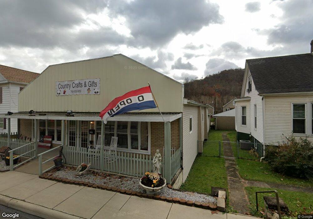
55480 & 55490 National Rd Bridgeport, OH 43912
Wolfhurst NeighborhoodEstimated Value: $181,000 - $220,059
3
Beds
2
Baths
2,604
Sq Ft
$77/Sq Ft
Est. Value
About This Home
This home is located at 55480 & 55490 National Rd, Bridgeport, OH 43912 and is currently estimated at $201,686, approximately $77 per square foot. 55480 & 55490 National Rd is a home located in Belmont County with nearby schools including Bridgeport Elementary School, Bridgeport Middle School, and Bridgeport High School.
Ownership History
Date
Name
Owned For
Owner Type
Purchase Details
Closed on
Nov 6, 2006
Sold by
Jenkins Mary Lynn and Jenkins William Ralph
Bought by
Bowen Robert C and Bowen Lola P
Current Estimated Value
Purchase Details
Closed on
Apr 29, 1998
Bought by
Jenkins Mary Lynn Etal 1
Purchase Details
Closed on
Jan 1, 1986
Sold by
Kotlas Eleanor M
Bought by
Kotlas Eleanor M
Create a Home Valuation Report for This Property
The Home Valuation Report is an in-depth analysis detailing your home's value as well as a comparison with similar homes in the area
Home Values in the Area
Average Home Value in this Area
Purchase History
| Date | Buyer | Sale Price | Title Company |
|---|---|---|---|
| Bowen Robert C | $60,000 | Attorney | |
| Jenkins Mary Lynn Etal 1 | -- | -- | |
| Kotlas Eleanor M | -- | -- |
Source: Public Records
Tax History Compared to Growth
Tax History
| Year | Tax Paid | Tax Assessment Tax Assessment Total Assessment is a certain percentage of the fair market value that is determined by local assessors to be the total taxable value of land and additions on the property. | Land | Improvement |
|---|---|---|---|---|
| 2024 | $4,775 | $87,120 | $10,140 | $76,980 |
| 2023 | $1,332 | $23,630 | $3,210 | $20,420 |
| 2022 | $1,481 | $25,645 | $3,213 | $22,432 |
| 2021 | $1,380 | $23,635 | $3,213 | $20,422 |
| 2020 | $1,389 | $23,630 | $3,210 | $20,420 |
| 2019 | $1,389 | $23,630 | $3,210 | $20,420 |
| 2018 | $1,417 | $23,630 | $3,210 | $20,420 |
| 2017 | $1,103 | $23,710 | $3,540 | $20,170 |
| 2016 | $1,108 | $23,710 | $3,540 | $20,170 |
| 2015 | $1,103 | $23,710 | $3,540 | $20,170 |
| 2014 | $1,073 | $23,380 | $3,210 | $20,170 |
| 2013 | $1,023 | $23,380 | $3,210 | $20,170 |
Source: Public Records
Map
Nearby Homes
- 55490 National Rd
- 55480 National Rd
- 55500 National Rd
- 56065 National Rd
- 56316 National Rd
- 56624 Boyd Ave
- 26 Elm St
- 69142 Woods Rd
- 902 National Rd
- 4 Walnut Ave
- 866 Main St
- 1123 Minellen Dr
- 836 Main St
- 53679 Quimby Ave
- 67478 Kirkwood Heights Rd
- 824 Howard St
- 822 W Bennett St
- 0 Blaine Chermont Rd
- 69895 Woods Rd
- 67531 Kirkwood Heights Rd
- 55492 National Rd
- 55850 National Rd
- 55478 National Rd
- 55495 National Rd
- 55471 National Rd
- 55471 National Rd
- 55471 National Rd
- 55471 National Rd
- 68044 Jastre St
- 55627 E Center St
- 55481 National Rd
- 68017 Walnut St
- 68032 Jastre St
- 55625 E Center St
- 68004 Walnut St
- 55465 National Rd
- 55510 National Rd
- 55386 Maple Heights
- 55424 Maple Heights
- 68022 Jastre St