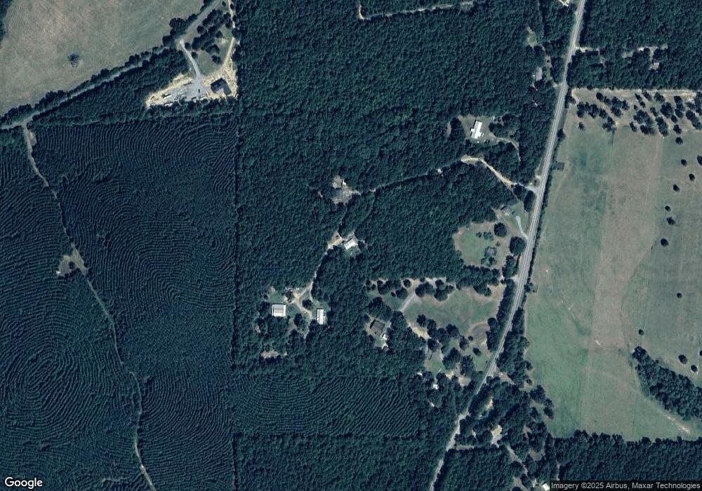
555 Branch Rd Cedartown, GA 30125
Estimated Value: $150,495 - $197,000
3
Beds
1
Bath
960
Sq Ft
$183/Sq Ft
Est. Value
About This Home
This home is located at 555 Branch Rd, Cedartown, GA 30125 and is currently estimated at $175,624, approximately $182 per square foot. 555 Branch Rd is a home located in Polk County.
Ownership History
Date
Name
Owned For
Owner Type
Purchase Details
Closed on
Sep 21, 2001
Sold by
Warren Jerry Lee and Billie Jo Warren
Bought by
Warren Jerry Lee
Current Estimated Value
Purchase Details
Closed on
Apr 7, 1989
Sold by
Jim Walter Homes Inc
Bought by
Warren Jerry L
Purchase Details
Closed on
Mar 7, 1989
Sold by
Wade William J Trus
Bought by
Jim Wlater Homes Inc
Purchase Details
Closed on
Mar 6, 1989
Sold by
Powers Brenda Jean
Bought by
Wade William J Trus
Purchase Details
Closed on
Apr 20, 1988
Sold by
Frady Harry E
Bought by
Powers Brenda Jean
Create a Home Valuation Report for This Property
The Home Valuation Report is an in-depth analysis detailing your home's value as well as a comparison with similar homes in the area
Home Values in the Area
Average Home Value in this Area
Purchase History
| Date | Buyer | Sale Price | Title Company |
|---|---|---|---|
| Warren Jerry Lee | -- | -- | |
| Warren Jerry L | $34,000 | -- | |
| Jim Wlater Homes Inc | $1,000 | -- | |
| Wade William J Trus | $34,700 | -- | |
| Powers Brenda Jean | $1,500 | -- |
Source: Public Records
Tax History Compared to Growth
Tax History
| Year | Tax Paid | Tax Assessment Tax Assessment Total Assessment is a certain percentage of the fair market value that is determined by local assessors to be the total taxable value of land and additions on the property. | Land | Improvement |
|---|---|---|---|---|
| 2024 | $688 | $34,932 | $3,723 | $31,209 |
| 2023 | $513 | $23,603 | $3,723 | $19,880 |
| 2022 | $417 | $19,559 | $2,482 | $17,077 |
| 2021 | $422 | $19,559 | $2,482 | $17,077 |
| 2020 | $423 | $19,559 | $2,482 | $17,077 |
| 2019 | $515 | $21,195 | $2,482 | $18,713 |
| 2018 | $487 | $19,688 | $2,482 | $17,206 |
| 2017 | $481 | $19,688 | $2,482 | $17,206 |
| 2016 | $500 | $20,364 | $3,157 | $17,206 |
| 2015 | $501 | $20,364 | $3,157 | $17,206 |
| 2014 | $505 | $20,364 | $3,157 | $17,206 |
Source: Public Records
Map
Nearby Homes
- 0 Akes Station Rd Unit 25208781
- 0 Akes Station Rd Unit 25208783
- 0 Akes Station Rd Unit 25208784
- 0 Akes Station Rd Unit 25208785
- 0 Akes Station Rd Unit 25208782
- 1806 Piedmont Hwy
- 1810 Piedmont Hwy
- 35 Harris Loop
- 2776 Piedmont Hwy
- 00 Cornelius Rd
- 1849 Prior Station Rd Unit 77.57 ACRES
- 1849 Prior Station Rd
- 966 Judkin Mill Rd
- 0 Judkin Mill Rd Unit LotWP001 19369404
- 0 Brewster Field Rd Unit 10623054
- 0 Brewster Field Rd Unit 7664244
- 1789 Johnson Lake Rd
- 745 Brewster Field Rd
- 148 Persons Rd
- 323 Mountain Home Rd
- 511 Branch Rd
- 553 Branch Rd
- 575 Branch Rd
- 523 Branch Rd
- 565 Branch Rd
- 466 Branch Rd
- 1481 Potash Rd
- 624 Branch Rd
- 685 Branch Rd
- 719 Branch Rd
- 299 Branch Rd
- 0 Potash Rd
- 0 Potash Rd Unit 20135417
- 0 Potash Rd Unit 7473630
- 0 Potash Rd Unit 10347373
- 0 Potash Rd Unit 7427549
- 0 Potash Rd Unit 10345854
- 0 Potash Rd Unit 7306672
- 0 Potash Rd Unit 10219499
- 0 Potash Rd Unit 20137551
