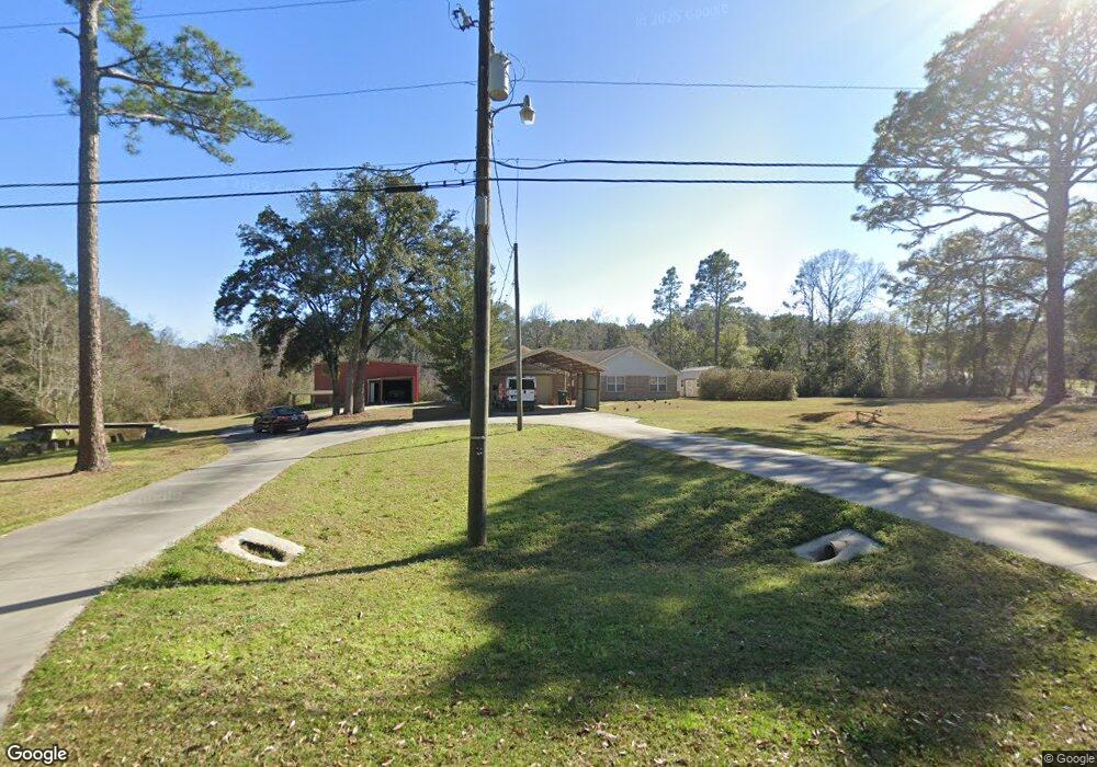
555 Childers St Pensacola, FL 32534
Estimated Value: $374,000 - $423,000
--
Bed
2
Baths
2,162
Sq Ft
$183/Sq Ft
Est. Value
About This Home
This home is located at 555 Childers St, Pensacola, FL 32534 and is currently estimated at $394,789, approximately $182 per square foot. 555 Childers St is a home located in Escambia County with nearby schools including L.D. McArthur Elementary School, Ransom Middle School, and J.M. Tate Senior High School.
Ownership History
Date
Name
Owned For
Owner Type
Purchase Details
Closed on
Nov 21, 2012
Sold by
Eide Suzanne M
Bought by
Snyder Stephen J and Eide Suzanne M
Current Estimated Value
Purchase Details
Closed on
Jun 28, 1999
Sold by
Lassen Linda B
Bought by
Snyder Stephen J and Eide Suzanne M
Home Financials for this Owner
Home Financials are based on the most recent Mortgage that was taken out on this home.
Original Mortgage
$159,018
Outstanding Balance
$43,031
Interest Rate
7.13%
Mortgage Type
VA
Estimated Equity
$351,758
Create a Home Valuation Report for This Property
The Home Valuation Report is an in-depth analysis detailing your home's value as well as a comparison with similar homes in the area
Home Values in the Area
Average Home Value in this Area
Purchase History
| Date | Buyer | Sale Price | Title Company |
|---|---|---|---|
| Snyder Stephen J | -- | None Available | |
| Snyder Stephen J | $155,900 | -- |
Source: Public Records
Mortgage History
| Date | Status | Borrower | Loan Amount |
|---|---|---|---|
| Open | Snyder Stephen J | $159,018 |
Source: Public Records
Tax History Compared to Growth
Tax History
| Year | Tax Paid | Tax Assessment Tax Assessment Total Assessment is a certain percentage of the fair market value that is determined by local assessors to be the total taxable value of land and additions on the property. | Land | Improvement |
|---|---|---|---|---|
| 2024 | $2,623 | $235,491 | -- | -- |
| 2023 | $2,623 | $228,633 | $0 | $0 |
| 2022 | $1,917 | $221,974 | $0 | $0 |
| 2021 | $596 | $215,509 | $0 | $0 |
| 2020 | $2,487 | $212,534 | $0 | $0 |
| 2019 | $2,443 | $207,756 | $0 | $0 |
| 2018 | $2,441 | $203,883 | $0 | $0 |
| 2017 | $2,133 | $178,534 | $0 | $0 |
| 2016 | $2,117 | $174,862 | $0 | $0 |
| 2015 | $2,109 | $173,647 | $0 | $0 |
| 2014 | $864 | $172,269 | $0 | $0 |
Source: Public Records
Map
Nearby Homes
- 433 Orby St
- 417 Childers St
- 706 Crooked Oak Dr
- 735 Lexington Rd
- 11525 Chemstrand Rd
- 2298 Equestrian Way
- 960 Breezy Acres Rd
- 760 Boulder Creek Dr
- 1633 Kinsale Dr
- 1048 Fleming Dr
- 1046 Fleming Dr
- 381 Robinson Ln
- 1504 Muirfield Rd
- 2125 Foxford St
- 896 Lexington Rd
- 800 Shadow Ridge Dr
- 10610 Chemstrand Rd
- 811 Shadow Ridge Dr
- 1390 Tara Dawn Ln
- 901 Shadow Ridge Dr
- 545 Childers St
- 0 Childers St
- 508 Orby St
- 504 Orby St
- 539 Childers St
- 514 Orby St
- 601 Dye St
- 601 Dye St
- 601 Dye St
- 603 Dye St
- 0 Orby St Unit 388322
- 000 Orby St
- 0 Orby St Unit 467954
- 0 Orby St Unit 467991
- lot 7 Orby St
- 0 Orby St Unit 600609
- 0 Orby St Unit 607408
- 0 Orby St Unit 354841
- 0 Orby St Unit 361336
- 0 Orby St Unit 362374