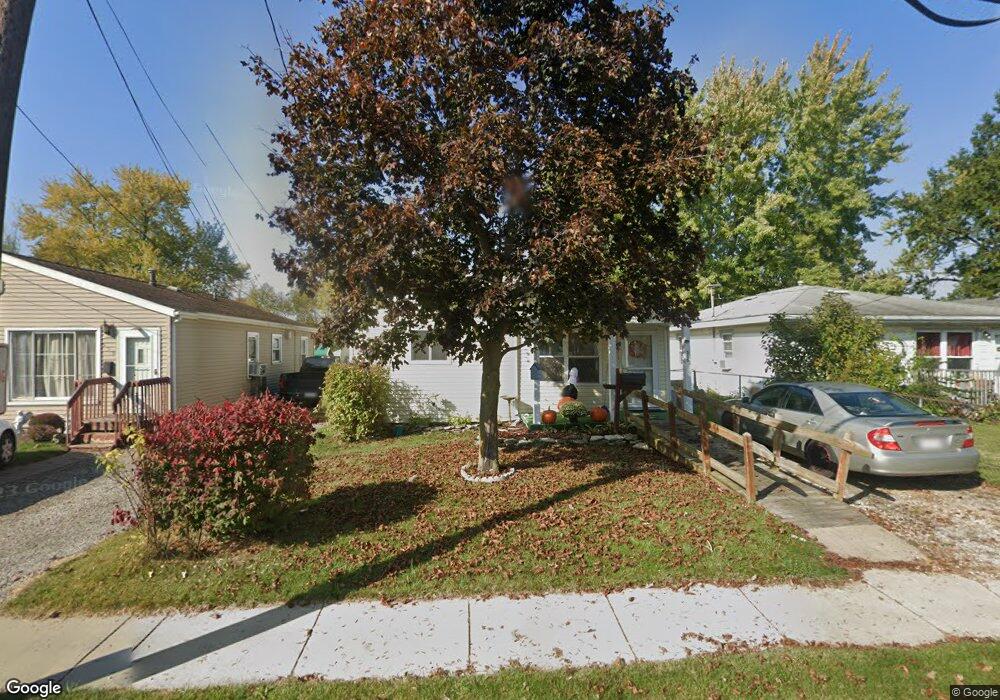
555 Clinton St Marion, OH 43302
Estimated Value: $81,000 - $133,000
2
Beds
1
Bath
1,260
Sq Ft
$85/Sq Ft
Est. Value
About This Home
This home is located at 555 Clinton St, Marion, OH 43302 and is currently estimated at $107,651, approximately $85 per square foot. 555 Clinton St is a home located in Marion County with nearby schools including James A. Garfield Elementary School, Ulysses S. Grant Middle School, and Harding High School.
Ownership History
Date
Name
Owned For
Owner Type
Purchase Details
Closed on
Jan 8, 2025
Sold by
Spurlock Brandu and Bowman Angela L
Bought by
Bryant Pamela Jean
Current Estimated Value
Purchase Details
Closed on
Aug 3, 2005
Sold by
Estate Of William Alfred Millisor
Bought by
Millsor Beulah M and Bryant Pamela Jean
Purchase Details
Closed on
Nov 20, 1996
Bought by
Millisor Beulah M Life Estate
Create a Home Valuation Report for This Property
The Home Valuation Report is an in-depth analysis detailing your home's value as well as a comparison with similar homes in the area
Home Values in the Area
Average Home Value in this Area
Purchase History
| Date | Buyer | Sale Price | Title Company |
|---|---|---|---|
| Bryant Pamela Jean | $75,700 | Hocking Valley Title | |
| Bryant Pamela Jean | $75,700 | Hocking Valley Title | |
| Bryant Pamela Jean | $75,700 | Hocking Valley Title | |
| Millsor Beulah M | -- | None Available | |
| Millisor Beulah M Life Estate | -- | -- |
Source: Public Records
Tax History Compared to Growth
Tax History
| Year | Tax Paid | Tax Assessment Tax Assessment Total Assessment is a certain percentage of the fair market value that is determined by local assessors to be the total taxable value of land and additions on the property. | Land | Improvement |
|---|---|---|---|---|
| 2024 | $1,331 | $34,690 | $2,450 | $32,240 |
| 2023 | $1,331 | $33,040 | $1,480 | $31,560 |
| 2022 | $844 | $33,040 | $1,480 | $31,560 |
| 2021 | $844 | $25,560 | $1,290 | $24,270 |
| 2020 | $650 | $25,560 | $1,290 | $24,270 |
| 2019 | $649 | $25,560 | $1,290 | $24,270 |
| 2018 | $468 | $20,870 | $1,290 | $19,580 |
| 2017 | $474 | $20,870 | $1,290 | $19,580 |
| 2016 | $470 | $20,870 | $1,290 | $19,580 |
| 2015 | $461 | $20,380 | $1,160 | $19,220 |
| 2014 | $810 | $20,380 | $1,160 | $19,220 |
| 2012 | $786 | $19,640 | $1,460 | $18,180 |
Source: Public Records
Map
Nearby Homes
- 472 Clinton St
- 950 Oak Grove Ave
- 383 Brentwood Dr
- 407 Latourette St
- 625 Rochelle Dr
- 889 Oak Grove Ave
- 824 Oak Grove Ave
- 796 Woodrow Ave
- 403 Uncapher Ave
- 579 Henry St
- 668 Uncapher Ave
- 645 Henry St
- 716 Uncapher Ave
- 512 Henry St
- 720 Woodrow Ave
- 681 Davids St
- 786 Sheridan Rd
- 757 Merkle Ave
- 772 Sheridan Rd
- 0 Bellefontaine Ave
- 559 Clinton St
- 549 Clinton St
- 565 Clinton St
- 543 Clinton St
- 539 Clinton St
- 571 Clinton St
- 533 Clinton St
- 1076 National Dr
- 527 Clinton St
- 574 Clinton St
- 542 Clinton St
- 534 Clinton St
- 523 Clinton St
- 1073 National Dr
- 528 Clinton St
- 517 Clinton St
- 1062 National Dr
- 1067 National Dr
- 537 Swiss Dr
- 522 Clinton St