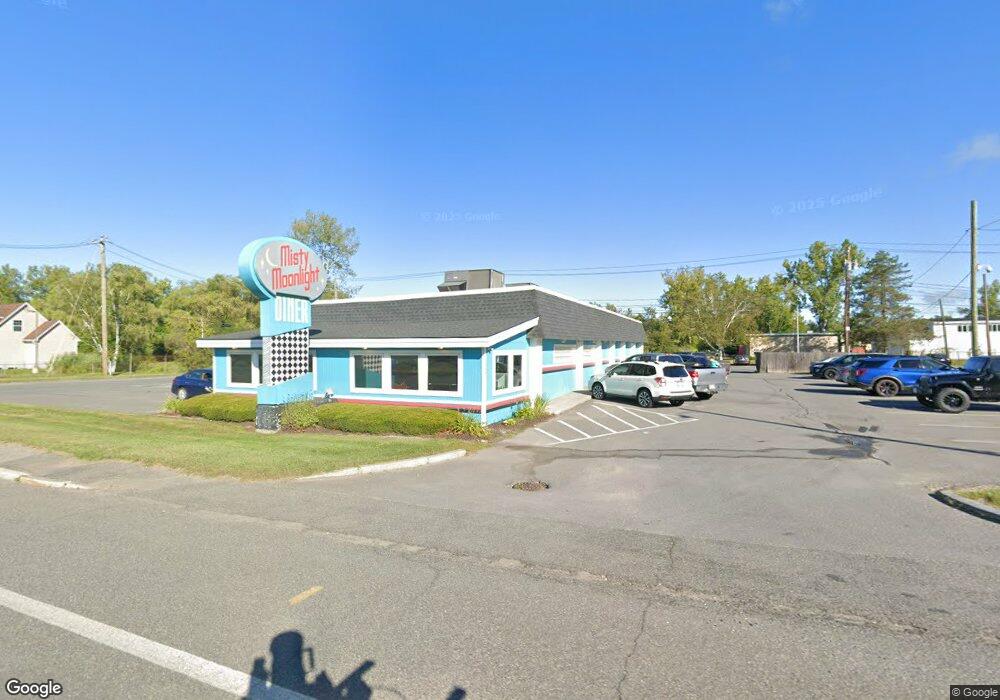
555 Dalton Ave Pittsfield, MA 01201
--
Bed
--
Bath
13,920
Sq Ft
2.5
Acres
About This Home
This home is located at 555 Dalton Ave, Pittsfield, MA 01201. 555 Dalton Ave is a home located in Berkshire County with nearby schools including Allendale Elementary School, John T. Reid Middle School, and Pittsfield High School.
Ownership History
Date
Name
Owned For
Owner Type
Purchase Details
Closed on
Sep 17, 1987
Sold by
Broyles Arena Inc
Bought by
S&I Realty Partnership
Home Financials for this Owner
Home Financials are based on the most recent Mortgage that was taken out on this home.
Original Mortgage
$200,000
Interest Rate
10.35%
Mortgage Type
Commercial
Create a Home Valuation Report for This Property
The Home Valuation Report is an in-depth analysis detailing your home's value as well as a comparison with similar homes in the area
Home Values in the Area
Average Home Value in this Area
Purchase History
| Date | Buyer | Sale Price | Title Company |
|---|---|---|---|
| S&I Realty Partnership | $405,000 | -- |
Source: Public Records
Mortgage History
| Date | Status | Borrower | Loan Amount |
|---|---|---|---|
| Closed | S&I Realty Partnership | $200,000 |
Source: Public Records
Tax History Compared to Growth
Tax History
| Year | Tax Paid | Tax Assessment Tax Assessment Total Assessment is a certain percentage of the fair market value that is determined by local assessors to be the total taxable value of land and additions on the property. | Land | Improvement |
|---|---|---|---|---|
| 2025 | $12,982 | $342,000 | $125,600 | $216,400 |
| 2024 | $12,952 | $327,000 | $125,600 | $201,400 |
| 2023 | $12,822 | $327,000 | $125,600 | $201,400 |
| 2022 | $12,445 | $311,900 | $125,600 | $186,300 |
| 2021 | $12,473 | $311,900 | $125,600 | $186,300 |
| 2020 | $12,588 | $311,900 | $125,600 | $186,300 |
| 2019 | $12,457 | $311,900 | $125,600 | $186,300 |
| 2018 | $14,111 | $338,300 | $181,400 | $156,900 |
| 2017 | $14,213 | $357,300 | $217,600 | $139,700 |
| 2016 | $13,599 | $357,300 | $217,600 | $139,700 |
| 2015 | $13,088 | $357,300 | $217,600 | $139,700 |
Source: Public Records
Map
Nearby Homes
- 45 Patricia Ave
- 25 Kensington Ave
- 38 Allengate Ave
- 122 Allengate Ave
- 326 Dalton Ave
- 98 Oak Hill Rd
- 82 Williamsburg Terrace
- 165 Connecticut Ave
- 17 Kittredge Rd
- 39 Highlawn Dr
- 127 Oak Hill Rd
- 134 Oak Hill Rd
- 144 Kittredge Rd
- 68 Howe Rd
- 46 Bossidy Dr
- 215 Partridge Rd
- 52 Bossidy Dr
- 81 Dartmouth St Unit 102
- 11 Stanley Ave
- 40 Roland St
- 549 Dalton Ave
- 567 Dalton Ave
- 537 Dalton Ave
- 0 Dalton Ave
- 531 Dalton Ave
- 501 Dalton Ave
- 699 Dalton Ave
- 10 Devonshire Ave
- 0 Devonshire Ave
- 25 Manchester Ave
- 19 Manchester Ave
- 15 Manchester Ave
- 11 Manchester Ave
- 457 Dalton Ave
- 3 Manchester Ave
- 630 Merrill Rd
- 730 Crane Ave
- 730 1/2 Crane Ave
- 4 Plastics Ave
- 244 Elberon Ave