555 Erreston Farm Ln Palmyra, VA 22963
Estimated Value: $317,000 - $374,000
3
Beds
1
Bath
1,072
Sq Ft
$317/Sq Ft
Est. Value
About This Home
This home is located at 555 Erreston Farm Ln, Palmyra, VA 22963 and is currently estimated at $340,339, approximately $317 per square foot. 555 Erreston Farm Ln is a home with nearby schools including Central Elementary School, West Central Primary School, and Carysbrook Elementary School.
Ownership History
Date
Name
Owned For
Owner Type
Purchase Details
Closed on
Mar 1, 2012
Sold by
Erreston Farm Llc
Bought by
E F Holdings Llc
Current Estimated Value
Purchase Details
Closed on
Aug 29, 2008
Sold by
Greene Nathan W and Greene Betty L
Bought by
Co Erreston Farm Llc
Home Financials for this Owner
Home Financials are based on the most recent Mortgage that was taken out on this home.
Original Mortgage
$425,000
Interest Rate
6.57%
Mortgage Type
Purchase Money Mortgage
Purchase Details
Closed on
Aug 3, 2007
Sold by
Co The Sanctuary Group Ltd and Ak The Sanctuary Group
Bought by
Greene Nathan W and Greene Betty L
Create a Home Valuation Report for This Property
The Home Valuation Report is an in-depth analysis detailing your home's value as well as a comparison with similar homes in the area
Home Values in the Area
Average Home Value in this Area
Purchase History
| Date | Buyer | Sale Price | Title Company |
|---|---|---|---|
| E F Holdings Llc | -- | None Available | |
| Co Erreston Farm Llc | -- | None Available | |
| Greene Nathan W | $650,000 | Southern Title Insurance Cor |
Source: Public Records
Mortgage History
| Date | Status | Borrower | Loan Amount |
|---|---|---|---|
| Previous Owner | Co Erreston Farm Llc | $425,000 |
Source: Public Records
Tax History Compared to Growth
Tax History
| Year | Tax Paid | Tax Assessment Tax Assessment Total Assessment is a certain percentage of the fair market value that is determined by local assessors to be the total taxable value of land and additions on the property. | Land | Improvement |
|---|---|---|---|---|
| 2025 | $2,250 | $300,020 | $38,900 | $261,120 |
| 2024 | $1,478 | $175,100 | $38,900 | $136,200 |
| 2023 | $1,478 | $175,100 | $38,900 | $136,200 |
| 2022 | $1,383 | $159,000 | $38,900 | $120,100 |
| 2021 | $1,383 | $159,000 | $38,900 | $120,100 |
| 2020 | $1,398 | $151,100 | $38,900 | $112,200 |
| 2014 | $3,384 | $425,600 | $100,900 | $324,700 |
Source: Public Records
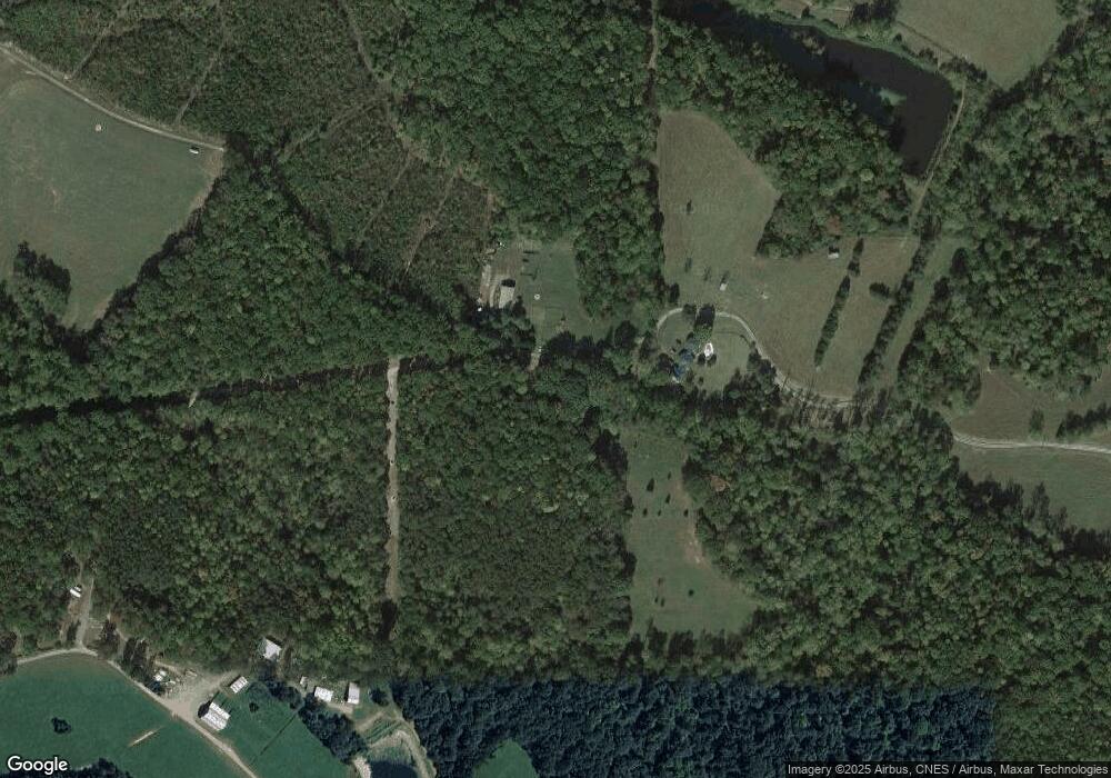
Map
Nearby Homes
- 2315 Rolling Rd S
- 3161 Rolling Rd S
- 601 Middle Fork Rd
- 1 Hidden Springs Ln
- 9020 W River Rd
- 1642 Branch Rd
- 7837 W River Rd
- 57 Sclaters Ford Rd
- 668 Haden Martin Rd
- 5 Piney Mountain Ln
- 478 Rosewood Dr
- 87 Old Fork Ln
- 0 Haden Martin Road (Tract: Martin Pitts)
- 912 Shores Rd
- TBD Transco Rd
- 3304 Ruritan Lake Rd
- 3304 Ruritan Lake Rd
- 864 Rock Ln
- 511 Erreston Farm Ln
- 2070 Rolling Rd S
- 1135 Haislip Ln
- 1330 Haislip Ln
- 1293 Haislip Ln
- 602 Turkey Run Ln
- 22 Erreston Farm Ln
- 418 Long Acre Rd
- 344 Turkey Run Ln
- 450 Rhodes School Ln
- 571 Rhodes School Ln
- 510 Rhodes School Ln
- 257 Turkey Run Ln
- 1629 Haislip Ln
- 1668 Haislip Ln
- 2540 Long Acre Rd
- 439 Rhodes School Ln
- 439 Rhodes School Ln
- 649 Haislip Ln
- 379 Rhodes School Ln