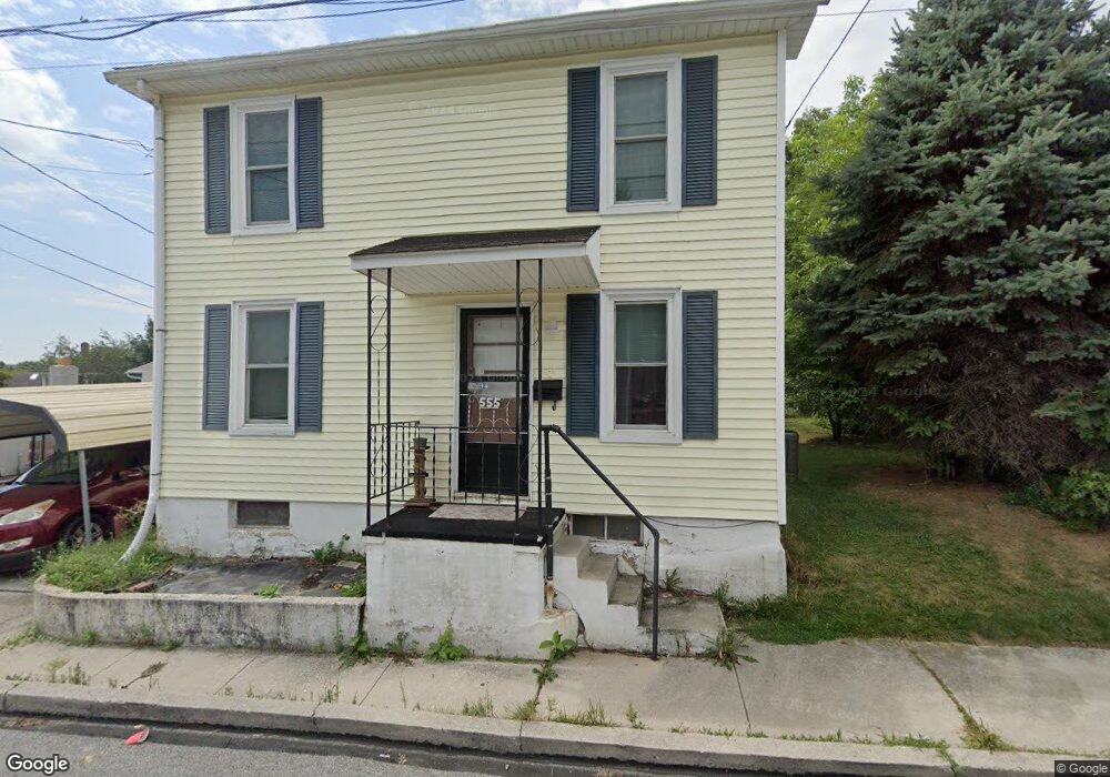
555 Locust St Hanover, PA 17331
Estimated Value: $145,000 - $219,000
3
Beds
1
Bath
1,356
Sq Ft
$130/Sq Ft
Est. Value
About This Home
This home is located at 555 Locust St, Hanover, PA 17331 and is currently estimated at $176,891, approximately $130 per square foot. 555 Locust St is a home located in York County with nearby schools including South Western Senior High School and Delone Catholic High School.
Ownership History
Date
Name
Owned For
Owner Type
Purchase Details
Closed on
Mar 25, 2021
Sold by
Bell Sherri Louise and Estate Of Ray E Millhimes
Bought by
Niu Yanfang
Current Estimated Value
Home Financials for this Owner
Home Financials are based on the most recent Mortgage that was taken out on this home.
Original Mortgage
$79,200
Outstanding Balance
$71,117
Interest Rate
2.8%
Mortgage Type
New Conventional
Estimated Equity
$105,774
Purchase Details
Closed on
Feb 27, 1996
Sold by
Millhimes Ray E
Bought by
Millhimes Ray E
Purchase Details
Closed on
Dec 2, 1988
Bought by
Millhimes Ray E
Create a Home Valuation Report for This Property
The Home Valuation Report is an in-depth analysis detailing your home's value as well as a comparison with similar homes in the area
Home Values in the Area
Average Home Value in this Area
Purchase History
| Date | Buyer | Sale Price | Title Company |
|---|---|---|---|
| Niu Yanfang | $99,000 | None Available | |
| Millhimes Ray E | -- | -- | |
| Millhimes Ray E | -- | -- |
Source: Public Records
Mortgage History
| Date | Status | Borrower | Loan Amount |
|---|---|---|---|
| Open | Niu Yanfang | $79,200 |
Source: Public Records
Tax History Compared to Growth
Tax History
| Year | Tax Paid | Tax Assessment Tax Assessment Total Assessment is a certain percentage of the fair market value that is determined by local assessors to be the total taxable value of land and additions on the property. | Land | Improvement |
|---|---|---|---|---|
| 2025 | $2,942 | $87,310 | $26,220 | $61,090 |
| 2024 | $2,942 | $87,310 | $26,220 | $61,090 |
| 2023 | $2,890 | $87,310 | $26,220 | $61,090 |
| 2022 | $2,828 | $87,310 | $26,220 | $61,090 |
| 2021 | $2,673 | $87,310 | $26,220 | $61,090 |
| 2020 | $2,673 | $87,310 | $26,220 | $61,090 |
| 2019 | $2,622 | $87,310 | $26,220 | $61,090 |
| 2018 | $2,587 | $87,310 | $26,220 | $61,090 |
| 2017 | $2,528 | $87,310 | $26,220 | $61,090 |
| 2016 | $0 | $87,310 | $26,220 | $61,090 |
| 2015 | -- | $87,310 | $26,220 | $61,090 |
| 2014 | -- | $87,310 | $26,220 | $61,090 |
Source: Public Records
Map
Nearby Homes
- 525 Locust St
- 8 Fair Ave
- 538 Baer Ave
- 320 Spring Ave
- 273 Locust St
- 814 York St
- 216 Charles Ave
- 28 Brookside Ave
- 132 Mcallister St
- 324 Pleasant St
- 501 Charles Ave
- 138 Center Rear St
- 612 Cypress Dr Unit 51
- 553 Mcallister St
- 121 Eagle Ave
- 73 Eagle Ave
- 203 York St
- 258 Baltimore St
- 183 Center St Unit 183
- 194 Center St Unit 194