555 Mae Cir Odenville, AL 35120
Estimated Value: $282,884 - $322,000
--
Bed
1
Bath
1,647
Sq Ft
$183/Sq Ft
Est. Value
About This Home
This home is located at 555 Mae Cir, Odenville, AL 35120 and is currently estimated at $302,221, approximately $183 per square foot. 555 Mae Cir is a home located in St. Clair County with nearby schools including Margaret Elementary School, Moody Middle School, and Moody High School.
Ownership History
Date
Name
Owned For
Owner Type
Purchase Details
Closed on
Feb 8, 2024
Sold by
Guthrie Becky Mcbrayer
Bought by
Gillen Thomas A and Gillen Kathleen M
Current Estimated Value
Purchase Details
Closed on
Nov 22, 2006
Sold by
Smitherman Christopher B
Bought by
Gillenwater Brodis and Gillenwater Naomi
Home Financials for this Owner
Home Financials are based on the most recent Mortgage that was taken out on this home.
Original Mortgage
$85,000
Interest Rate
6.36%
Mortgage Type
New Conventional
Create a Home Valuation Report for This Property
The Home Valuation Report is an in-depth analysis detailing your home's value as well as a comparison with similar homes in the area
Home Values in the Area
Average Home Value in this Area
Purchase History
| Date | Buyer | Sale Price | Title Company |
|---|---|---|---|
| Gillen Thomas A | $70,000 | None Listed On Document | |
| Gillenwater Brodis | $197,000 | None Available |
Source: Public Records
Mortgage History
| Date | Status | Borrower | Loan Amount |
|---|---|---|---|
| Previous Owner | Gillenwater Brodis | $85,000 |
Source: Public Records
Tax History Compared to Growth
Tax History
| Year | Tax Paid | Tax Assessment Tax Assessment Total Assessment is a certain percentage of the fair market value that is determined by local assessors to be the total taxable value of land and additions on the property. | Land | Improvement |
|---|---|---|---|---|
| 2024 | -- | $47,568 | $7,600 | $39,968 |
| 2023 | $0 | $47,568 | $7,600 | $39,968 |
| 2022 | $0 | $20,107 | $3,800 | $16,307 |
| 2021 | $0 | $20,107 | $3,800 | $16,307 |
| 2020 | $0 | $20,107 | $3,800 | $16,307 |
| 2019 | $0 | $19,965 | $3,800 | $16,165 |
| 2018 | -- | $19,220 | $0 | $0 |
| 2017 | -- | $19,220 | $0 | $0 |
| 2016 | -- | $19,220 | $0 | $0 |
| 2015 | -- | $19,220 | $0 | $0 |
| 2014 | -- | $19,600 | $0 | $0 |
Source: Public Records
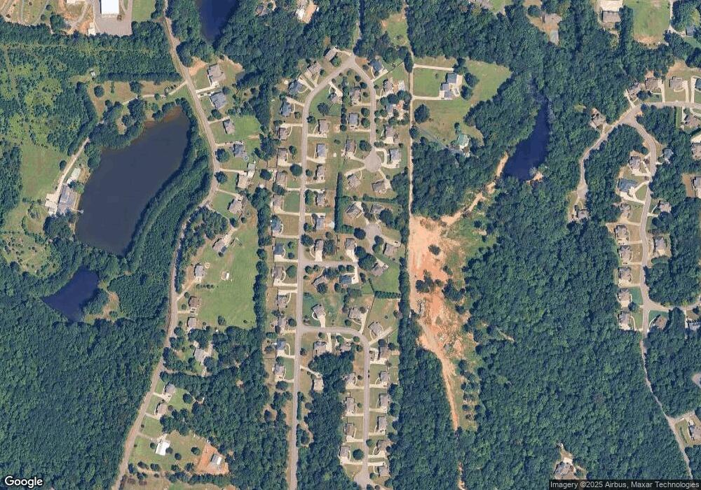
Map
Nearby Homes
- 1 Summit Ridge Way Unit 76
- 1 Summit Ridge Way Unit 60
- 17 Greenleaf Ln
- 50 Mason Dr
- 922 Brookstone Place
- 74 Autumn Trace
- 80 Shadow Cove Ln
- 260 Hawks Bend Ln
- 20 Shadow Cove Ln
- 60 Deer Creek Dr
- 306 Hickory Valley Rd
- 125 Deer Creek Dr
- 135 Deer Creek Dr
- 0.1 Hickory Valley Rd
- 0 Venable Rd
- 6148 Meadow Run Dr
- 6148 Meadow Run Dr Unit 6148
- 30 Crestview Way
- 40 Brooke Trail
- 6120 Meadow Run Dr Unit 6120
- 525 Mae Cir
- 595 Mae Cir
- 1085 Summit Ridge Way
- 540 Mae Cir
- 1165 Summit Ridge Way Unit 77&78
- 580 Mae Cir
- 520 Mae Cir
- 560 Mae Cir
- 1075 Summit Ridge Way
- 140 Reuben Cir
- 0 Summit Ridge Way Unit 58-60, 76
- 1 Summit Ridge Way Unit 59
- 1 Summit Ridge Way Unit 58
- 1 Summit Ridge Way Unit 60
- Lot 75 Summit Ridge Way
- Lot 61 Summit Ridge Way
- Lot 75 Summit Ridge Way Unit 75
- Lot 61 Summit Ridge Way Unit 61
- 815 Alpine Cir
- 145 Reuben Cir