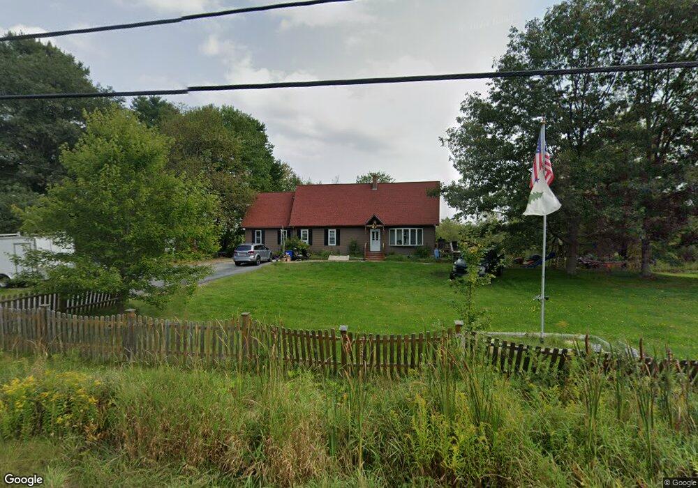
555 Meadow Rd Durham, ME 04222
Estimated Value: $485,036 - $546,000
4
Beds
2
Baths
2,500
Sq Ft
$206/Sq Ft
Est. Value
About This Home
This home is located at 555 Meadow Rd, Durham, ME 04222 and is currently estimated at $515,509, approximately $206 per square foot. 555 Meadow Rd is a home located in Androscoggin County with nearby schools including Durham Community School, Freeport High School, and Lisbon Falls Christian Academy.
Ownership History
Date
Name
Owned For
Owner Type
Purchase Details
Closed on
Sep 25, 2014
Sold by
Dyer Alex E and Dyer Nicole A
Bought by
Davis Christopher R and Davis Elizabeth A
Current Estimated Value
Home Financials for this Owner
Home Financials are based on the most recent Mortgage that was taken out on this home.
Original Mortgage
$200,000
Outstanding Balance
$153,442
Interest Rate
4.12%
Mortgage Type
New Conventional
Estimated Equity
$362,067
Purchase Details
Closed on
Jul 2, 2008
Sold by
Palleschi Eric R and Palleschi Karen A
Bought by
Dyer Alex E and Dyer Nicole A
Home Financials for this Owner
Home Financials are based on the most recent Mortgage that was taken out on this home.
Original Mortgage
$179,920
Interest Rate
6.01%
Mortgage Type
FHA
Create a Home Valuation Report for This Property
The Home Valuation Report is an in-depth analysis detailing your home's value as well as a comparison with similar homes in the area
Home Values in the Area
Average Home Value in this Area
Purchase History
| Date | Buyer | Sale Price | Title Company |
|---|---|---|---|
| Davis Christopher R | -- | -- | |
| Dyer Alex E | -- | -- |
Source: Public Records
Mortgage History
| Date | Status | Borrower | Loan Amount |
|---|---|---|---|
| Open | Davis Christopher R | $200,000 | |
| Previous Owner | Dyer Alex E | $179,920 |
Source: Public Records
Tax History Compared to Growth
Tax History
| Year | Tax Paid | Tax Assessment Tax Assessment Total Assessment is a certain percentage of the fair market value that is determined by local assessors to be the total taxable value of land and additions on the property. | Land | Improvement |
|---|---|---|---|---|
| 2024 | $4,056 | $186,500 | $60,200 | $126,300 |
| 2023 | $3,982 | $186,500 | $60,200 | $126,300 |
| 2022 | $3,861 | $186,500 | $60,200 | $126,300 |
| 2021 | $3,861 | $186,500 | $60,200 | $126,300 |
| 2020 | $3,777 | $186,500 | $60,200 | $126,300 |
| 2019 | $3,777 | $186,500 | $60,200 | $126,300 |
| 2018 | $3,674 | $186,500 | $60,200 | $126,300 |
| 2016 | $3,506 | $186,500 | $60,200 | $126,300 |
| 2015 | $3,245 | $186,500 | $60,200 | $126,300 |
| 2014 | $3,105 | $186,500 | $60,200 | $126,300 |
| 2013 | $2,788 | $186,500 | $60,200 | $126,300 |
Source: Public Records
Map
Nearby Homes
- 52 Shiloh Rd
- 45 Ruby Ln
- 115 Pinkham Brook Rd
- 14 Goddard St Unit A
- 14 Goddard St Unit B
- 14 Goddard St
- 3 Goddard St
- 13 Middle St
- 645 Lisbon St
- 43 Rose Douglas Ln
- 77 Main St
- Lot 9 Little Fawn Ln
- 13 Douglas St
- 9 David St
- 006-114 Old Brunswick Rd
- 16 Harlie Woods Rd
- 13 Charity St
- 55 Sand Hill Dr
- 6 Scottsdale Ave
- 68 Frost Hill Ave
- 379 Pinkham Brook Rd
- 360 Pinkham Brook Rd
- 531 Meadow Rd
- 405 Pinkham Brook Rd
- 407 Pinkham Brook Rd
- 407 Pinkham Brook Rd
- 525 Meadow Rd
- 340 Pinkham Brook Rd
- 352 Pinkham Brook Rd
- 423 Pinkham Brook Rd
- 310 Pinkham Brook Rd
- 318 Pinkham Brook Rd
- 288 Pinkham Brook Rd
- 437 Pinkham Brook Rd
- 510 Meadow Rd
- 406 Swamp Rd
- 426 Swamp Rd
- 416 Swamp Rd
- 439 Swamp Rd
- 44 Soper Rd