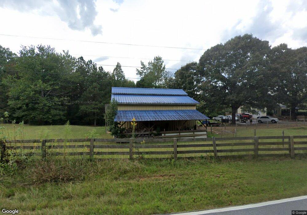
555 Melear Rd Bowdon, GA 30108
Estimated Value: $396,000 - $445,004
4
Beds
2
Baths
1,792
Sq Ft
$233/Sq Ft
Est. Value
About This Home
This home is located at 555 Melear Rd, Bowdon, GA 30108 and is currently estimated at $417,001, approximately $232 per square foot. 555 Melear Rd is a home with nearby schools including Mt. Zion Elementary School, Mt. Zion Middle School, and Mt. Zion High School.
Ownership History
Date
Name
Owned For
Owner Type
Purchase Details
Closed on
Jan 29, 2024
Sold by
Jackson James Lowell
Bought by
Jackson James L and Jackson Shelba R
Current Estimated Value
Purchase Details
Closed on
Jan 28, 1985
Sold by
Parker Thomas L and Parker Beatrice M
Bought by
Jackson James L and Jackson Shelba R
Purchase Details
Closed on
Jan 25, 1985
Sold by
Williams I W Mrs
Bought by
Parker Thomas L and Parker Beatrice M
Purchase Details
Closed on
Feb 28, 1973
Sold by
Williams Mrs I W
Bought by
Parker Thomas L and Parker Beatrice M
Create a Home Valuation Report for This Property
The Home Valuation Report is an in-depth analysis detailing your home's value as well as a comparison with similar homes in the area
Home Values in the Area
Average Home Value in this Area
Purchase History
| Date | Buyer | Sale Price | Title Company |
|---|---|---|---|
| Jackson James L | -- | -- | |
| Jackson James L | -- | -- | |
| Parker Thomas L | -- | -- | |
| Parker Thomas L | -- | -- |
Source: Public Records
Tax History
| Year | Tax Paid | Tax Assessment Tax Assessment Total Assessment is a certain percentage of the fair market value that is determined by local assessors to be the total taxable value of land and additions on the property. | Land | Improvement |
|---|---|---|---|---|
| 2025 | $305 | $153,087 | $63,798 | $89,289 |
| 2024 | $308 | $153,087 | $63,798 | $89,289 |
| 2023 | $308 | $126,974 | $48,536 | $78,438 |
| 2022 | $1,977 | $95,364 | $33,105 | $62,259 |
| 2021 | $1,775 | $81,418 | $26,484 | $54,934 |
| 2020 | $1,607 | $72,013 | $24,076 | $47,937 |
| 2019 | $1,564 | $69,056 | $24,076 | $44,980 |
| 2018 | $1,492 | $64,018 | $22,501 | $41,517 |
| 2017 | $1,496 | $64,018 | $22,501 | $41,517 |
| 2016 | $1,497 | $64,018 | $22,501 | $41,517 |
| 2015 | $1,395 | $53,896 | $17,776 | $36,120 |
| 2014 | $1,401 | $53,896 | $17,776 | $36,120 |
Source: Public Records
Map
Nearby Homes
- 1090 Kansas Jake Rd
- 1000 Kansas Jake Rd
- Melear Rd
- 6058 Mount Zion Rd
- 786 Moon Rd
- 1001 Vong St
- 0 Kansas Jake Rd Unit 26132658
- 0 Kansas Jake Rd Unit 10676294
- 0 Kansas Jake Rd Unit 26114165
- 0 Kansas Jake Rd Unit 26114173
- 0 Kansas Jake Rd Unit 26114180
- 2908 N Highway 100
- 0 N Highway 100 Unit TRACT 2 10571032
- 0 N Highway 100 Unit TRACT 3 10571036
- 0 N Highway 100 Unit TRACT 4 10571038
- 409 Lively Rd
- 2217 Georgia 100
- 415 Lively Rd
- 419 Lively Rd
- 263 Buncombe Waco Rd
- 671 Melear Rd
- 563 Melear Rd
- 679 Melear Rd
- 709 Melear Rd
- 743 Melear Rd
- 540 Melear Rd
- 471 Melear Rd
- 498 Melear Rd
- 759 Melear Rd
- 94 Wantland Rd
- 965 Kansas Jake Rd
- 760 Melear Rd
- 700 Melear Rd
- 778 Melear Rd
- 807 Melear Rd
- 1121 Kansas Jake Rd
- 0 Kansas Jake Rd Unit 8744545
- 0 Kansas Jake Rd
- 835 Melear Rd
- 352 Melear Rd
Your Personal Tour Guide
Ask me questions while you tour the home.