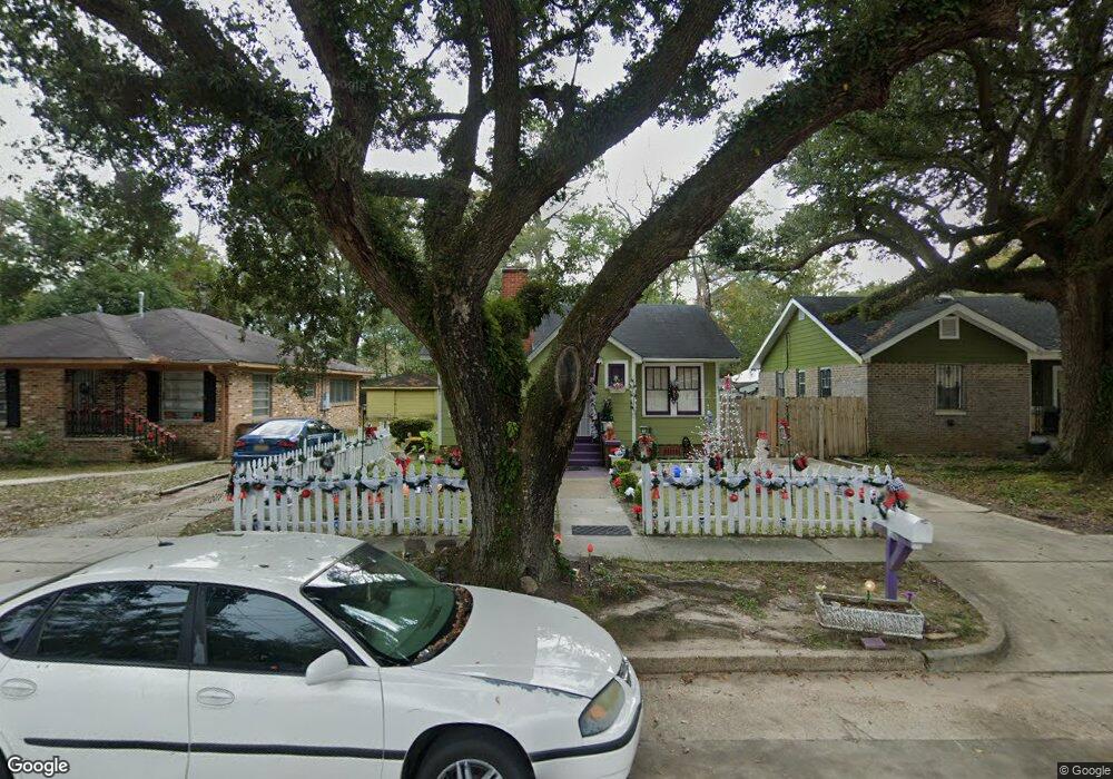
555 Mohawk St Mobile, AL 36606
Rickarby NeighborhoodEstimated Value: $60,987 - $105,000
Studio
2
Baths
1,142
Sq Ft
$75/Sq Ft
Est. Value
About This Home
This home is located at 555 Mohawk St, Mobile, AL 36606 and is currently estimated at $85,247, approximately $74 per square foot. 555 Mohawk St is a home located in Mobile County with nearby schools including Leinkauf Elementary School, Williamson High School, and Little Flower Catholic School.
Ownership History
Date
Name
Owned For
Owner Type
Purchase Details
Closed on
Feb 23, 2006
Sold by
Coaker Robert Wayne
Bought by
Hunt Patricia D
Current Estimated Value
Purchase Details
Closed on
Oct 4, 2001
Sold by
Leggett Mary E
Bought by
Coaker Nora Lee
Purchase Details
Closed on
Mar 3, 1999
Sold by
Lee Coaker Nora
Bought by
Leggett Mary E
Home Financials for this Owner
Home Financials are based on the most recent Mortgage that was taken out on this home.
Original Mortgage
$31,000
Interest Rate
6.79%
Mortgage Type
Seller Take Back
Create a Home Valuation Report for This Property
The Home Valuation Report is an in-depth analysis detailing your home's value as well as a comparison with similar homes in the area
Home Values in the Area
Average Home Value in this Area
Purchase History
| Date | Buyer | Sale Price | Title Company |
|---|---|---|---|
| Hunt Patricia D | $50,000 | None Available | |
| Coaker Nora | -- | None Available | |
| Coaker Nora Lee | $26,156 | -- | |
| Leggett Mary E | $33,000 | -- |
Source: Public Records
Mortgage History
| Date | Status | Borrower | Loan Amount |
|---|---|---|---|
| Previous Owner | Leggett Mary E | $31,000 |
Source: Public Records
Tax History
| Year | Tax Paid | Tax Assessment Tax Assessment Total Assessment is a certain percentage of the fair market value that is determined by local assessors to be the total taxable value of land and additions on the property. | Land | Improvement |
|---|---|---|---|---|
| 2025 | -- | $4,680 | $800 | $3,880 |
| 2024 | -- | $4,130 | $800 | $3,330 |
| 2023 | $181 | $3,890 | $800 | $3,090 |
| 2022 | $173 | $3,750 | $800 | $2,950 |
| 2021 | $171 | $3,700 | $800 | $2,900 |
| 2020 | $171 | $3,700 | $800 | $2,900 |
| 2019 | $169 | $3,680 | $0 | $0 |
| 2018 | $169 | $3,680 | $0 | $0 |
| 2017 | $179 | $3,860 | $0 | $0 |
| 2016 | $231 | $4,700 | $0 | $0 |
| 2013 | $696 | $10,680 | $0 | $0 |
Source: Public Records
Map
Nearby Homes
- 552 Glenwood St
- 570 Clarke St
- 603 Mohawk St
- 571 Glenwood St
- 407 Seminole St
- 312 Glenwood St
- 606 Dauphin Island Pkwy
- 654 Holcombe Ave
- 559 Dauphin Island Pkwy
- 1961 Duncan St
- 313 Morgan Ave
- 1964 Dublin St
- 707 Euclid Ave
- 318 Morgan Ave
- 554 Cherokee St
- 266 Mohawk St
- 260 Westwood St
- 661 Ruth St
- 262 Seminole St
- 720 Johnston Ave
Your Personal Tour Guide
Ask me questions while you tour the home.