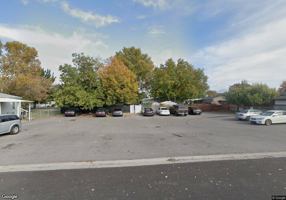
555 N 500 W Unit 24 Payson, UT 84651
Estimated Value: $1,049,216
3
Beds
2
Baths
1,560
Sq Ft
$673/Sq Ft
Est. Value
About This Home
This home is located at 555 N 500 W Unit 24, Payson, UT 84651 and is currently priced at $1,049,216, approximately $672 per square foot. 555 N 500 W Unit 24 is a home located in Utah County with nearby schools including Taylor Elementary School, Mt. Nebo Junior High School, and Salem Junior High School.
Ownership History
Date
Name
Owned For
Owner Type
Purchase Details
Closed on
Aug 18, 2006
Sold by
Larsen Mark F
Bought by
Hardy David L and Hardy Georgia J
Current Estimated Value
Home Financials for this Owner
Home Financials are based on the most recent Mortgage that was taken out on this home.
Original Mortgage
$249,500
Outstanding Balance
$149,307
Interest Rate
6.7%
Mortgage Type
Commercial
Create a Home Valuation Report for This Property
The Home Valuation Report is an in-depth analysis detailing your home's value as well as a comparison with similar homes in the area
Home Values in the Area
Average Home Value in this Area
Purchase History
| Date | Buyer | Sale Price | Title Company |
|---|---|---|---|
| Hardy David L | -- | Century Title Company |
Source: Public Records
Mortgage History
| Date | Status | Borrower | Loan Amount |
|---|---|---|---|
| Open | Hardy David L | $249,500 |
Source: Public Records
Tax History Compared to Growth
Map
Nearby Homes
- 555 N 500 W Unit 41
- 555 N 500 W Unit 56
- 555 N 500 W Unit 53
- 555 N 500 W Unit 22
- 555 N 500 W Unit 7
- 555 N 500 W Unit 31
- 555 N 500 W Unit 8
- 555 N 500 W Unit 32
- 555 N 500 W Unit 36
- 555 N 500 W Unit 38
- 555 N 500 W Unit 49
- 555 N 500 W Unit 30
- 555 N 500 W Unit 50
- 555 N 500 W Unit 18
- 555 N 500 W Unit 6
- 555 N 500 W Unit 15
- 555 N 500 W Unit 4
- 555 N 500 W Unit 11
- 555 N 500 W Unit 1
- 555 N 500 W Unit 2