555 N Cedar Ln Flintstone, GA 30725
High Point NeighborhoodEstimated Value: $242,000 - $348,237
3
Beds
2
Baths
2,464
Sq Ft
$118/Sq Ft
Est. Value
About This Home
This home is located at 555 N Cedar Ln, Flintstone, GA 30725 and is currently estimated at $289,809, approximately $117 per square foot. 555 N Cedar Ln is a home located in Walker County with nearby schools including Chattanooga Valley Elementary School, Chattanooga Valley Middle School, and Ridgeland High School.
Ownership History
Date
Name
Owned For
Owner Type
Purchase Details
Closed on
Aug 3, 1994
Sold by
Barrett Samuel L and Barrett Agnes
Bought by
Babb Britt Dewayne and Babb Anna
Current Estimated Value
Purchase Details
Closed on
Jan 5, 1990
Sold by
Fisher Lawrence and Fisher Alma P
Bought by
Barrett Samuel L and Barrett Agnes
Purchase Details
Closed on
May 17, 1989
Sold by
Vaughn Charles G and Wf Donna
Bought by
Fisher Lawrence and Fisher Alma P
Purchase Details
Closed on
May 12, 1983
Sold by
Fisher Lawrence and Fisher Alma
Bought by
Vaughn Charles G and Wf Donna
Purchase Details
Closed on
Jul 10, 1972
Sold by
Oliver Paul and Frank Oliver
Bought by
Fisher Lawrence and Fisher Alma
Purchase Details
Closed on
Aug 30, 1967
Bought by
Oliver Paul and Frank Oliver
Create a Home Valuation Report for This Property
The Home Valuation Report is an in-depth analysis detailing your home's value as well as a comparison with similar homes in the area
Home Values in the Area
Average Home Value in this Area
Purchase History
| Date | Buyer | Sale Price | Title Company |
|---|---|---|---|
| Babb Britt Dewayne | $18,000 | -- | |
| Barrett Samuel L | $15,700 | -- | |
| Fisher Lawrence | -- | -- | |
| Vaughn Charles G | $20,000 | -- | |
| Fisher Lawrence | -- | -- | |
| Oliver Paul | -- | -- |
Source: Public Records
Tax History Compared to Growth
Tax History
| Year | Tax Paid | Tax Assessment Tax Assessment Total Assessment is a certain percentage of the fair market value that is determined by local assessors to be the total taxable value of land and additions on the property. | Land | Improvement |
|---|---|---|---|---|
| 2024 | $2,067 | $95,597 | $50,677 | $44,920 |
| 2023 | $1,945 | $87,831 | $45,247 | $42,584 |
| 2022 | $406 | $17,463 | $16,958 | $505 |
| 2021 | $447 | $17,379 | $16,958 | $421 |
| 2020 | $464 | $17,397 | $16,958 | $439 |
| 2019 | $462 | $16,958 | $16,958 | $0 |
| 2018 | $449 | $16,958 | $16,958 | $0 |
| 2017 | $508 | $16,958 | $16,958 | $0 |
| 2016 | $415 | $16,958 | $16,958 | $0 |
| 2015 | $449 | $17,237 | $17,237 | $0 |
| 2014 | $435 | $17,237 | $17,237 | $0 |
| 2013 | -- | $17,237 | $17,237 | $0 |
Source: Public Records
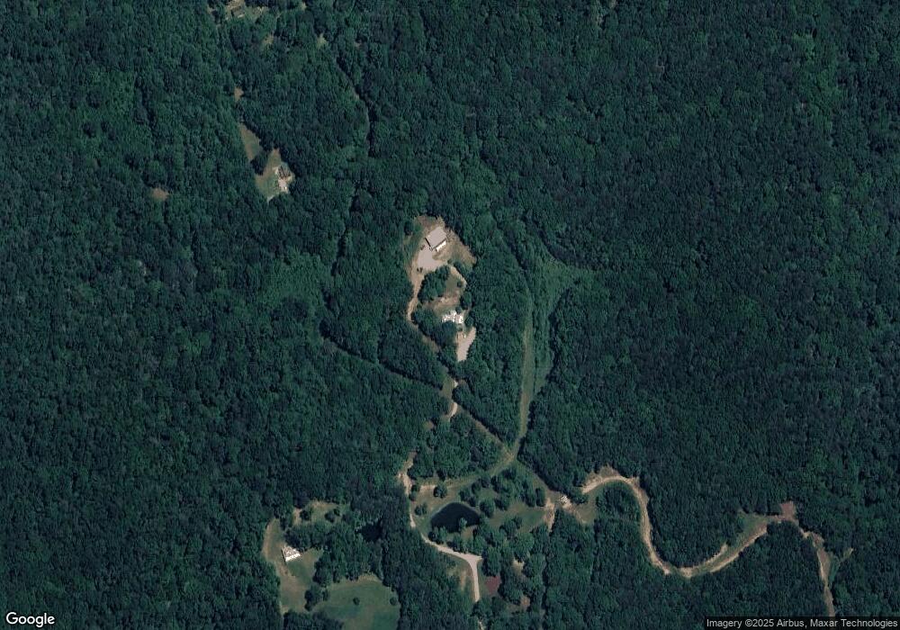
Map
Nearby Homes
- 7820 Highway 193
- 2255 Nick-A Jack Rd
- 0 Roundtree Ct Unit 1514898
- 0 Roundtree Ct Unit RTC2914889
- 1573 Highway 157
- 433 Stanford Dr
- 57 Fir St
- 301 Hidden Oaks Dr
- 144 N Victor Dr
- 3509 N Highway N 341
- 113 Middle Rd
- 1080 Harp Switch Rd
- 3269 N Highway 341
- 852 Old Grand Center Rd
- 698 Payne Chapel Rd
- 58 Japonica St
- 426 Simmons Tawzer Rd
- 16 Japonica St
- 19 Turkey Run
- 14 Turkey Run
- 1060 N Cedar Ln
- 1064 N Cedar Ln
- 1215 N Cedar Ln
- 1132 N Cedar Ln
- 00 N Cedar Ln
- 0 N Cedar Ln Unit 21222663
- 0 N Cedar Ln Unit RTC2745441
- 0 N Cedar Ln Unit 20177131
- 0 N Cedar Ln Unit 1381575
- 0 N Cedar Ln Unit 1345402
- 0 N Cedar Ln Unit 1028527
- 0 N Cedar Ln Unit 1028829
- 0 N Cedar Ln Unit 1359272
- 0 N Cedar Ln Unit 1132317
- 1375 N Cedar Ln
- 1375 N Cedar Ln
- 512 Cottontail Hollow
- 160 Cottontail Hollow
- 1138 N Cedar Ln
- 520 Still Meadow Ln