Estimated Value: $647,419 - $769,000
3
Beds
2
Baths
2,720
Sq Ft
$256/Sq Ft
Est. Value
About This Home
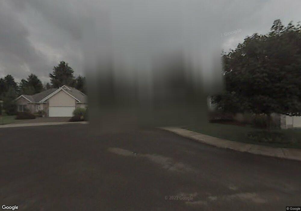
This home is located at 555 NE 21st Ave, Canby, OR 97013 and is currently estimated at $696,855, approximately $256 per square foot. 555 NE 21st Ave is a home located in Clackamas County with nearby schools including Josefa L. Sambrano Elementary School, Baker Prairie Middle School, and Canby High School.
Ownership History
Date
Name
Owned For
Owner Type
Purchase Details
Closed on
May 21, 2007
Sold by
Gesik Chris F and Gesik Terri L
Bought by
Leyva George M and Leyva Laurel E
Current Estimated Value
Home Financials for this Owner
Home Financials are based on the most recent Mortgage that was taken out on this home.
Original Mortgage
$317,250
Outstanding Balance
$192,029
Interest Rate
6.17%
Mortgage Type
Purchase Money Mortgage
Estimated Equity
$504,826
Purchase Details
Closed on
Apr 16, 1996
Sold by
Family Homes Of America Inc
Bought by
Gesik Chris F and Gesik Terri L
Home Financials for this Owner
Home Financials are based on the most recent Mortgage that was taken out on this home.
Original Mortgage
$176,000
Interest Rate
7.41%
Mortgage Type
Balloon
Purchase Details
Closed on
Sep 8, 1995
Sold by
Pizzuti Anselmo and Pizzuti Judy
Bought by
Family Homes Of America Inc
Create a Home Valuation Report for This Property
The Home Valuation Report is an in-depth analysis detailing your home's value as well as a comparison with similar homes in the area
Home Values in the Area
Average Home Value in this Area
Purchase History
| Date | Buyer | Sale Price | Title Company |
|---|---|---|---|
| Leyva George M | $423,000 | Ticor Title | |
| Gesik Chris F | $220,114 | Stewart Title | |
| Family Homes Of America Inc | $49,000 | Stewart Title |
Source: Public Records
Mortgage History
| Date | Status | Borrower | Loan Amount |
|---|---|---|---|
| Open | Leyva George M | $317,250 | |
| Previous Owner | Gesik Chris F | $176,000 |
Source: Public Records
Tax History Compared to Growth
Tax History
| Year | Tax Paid | Tax Assessment Tax Assessment Total Assessment is a certain percentage of the fair market value that is determined by local assessors to be the total taxable value of land and additions on the property. | Land | Improvement |
|---|---|---|---|---|
| 2025 | $6,909 | $389,995 | -- | -- |
| 2024 | $6,716 | $378,636 | -- | -- |
| 2023 | $6,716 | $367,608 | $0 | $0 |
| 2022 | $6,177 | $356,901 | $0 | $0 |
| 2021 | $5,948 | $346,506 | $0 | $0 |
| 2020 | $5,842 | $336,414 | $0 | $0 |
| 2019 | $5,563 | $326,616 | $0 | $0 |
| 2018 | $5,439 | $317,103 | $0 | $0 |
| 2017 | $5,301 | $307,867 | $0 | $0 |
| 2016 | $5,124 | $298,900 | $0 | $0 |
| 2015 | $4,948 | $290,194 | $0 | $0 |
| 2014 | $4,806 | $281,742 | $0 | $0 |
Source: Public Records
Map
Nearby Homes
- 660 NE 20th Ave
- 2152 N Laurelwood St
- 1751 N Laurelwood Loop
- 832 NE 17th Ave
- 838 NE 17th Ave
- 844 NE 17th Ave
- 853 NE 17th Ave
- 1750 N Oak St
- 878 NE 17th Ave
- 952 NE 17th Ave
- 947 NE 17th Ave
- 312 NE 14th Ave
- 1200 NE Territorial Rd Unit 93
- 1009 NE 17th Ave
- 1721 N Hyssop St
- 860 NE 14th Ave
- 187 NE 14th Ave
- 1614 NW 16th Ave
- 1422 NE 18th Place
- 1552 NE 19th Loop
- 507 NE 21st (2245-46) Ave
- 533 NE 21st Ave
- 577 NE 21st Ave
- 550 NE 20th Ave
- 531 NE 21st Ave
- 600 NE 20th Ave
- 2032 N Lupine St
- 2024 N Lupine(2987-43) St
- 2024 N Lupine St
- 615 NE 21st Ave
- 540 NE 20th Ave
- 2048 N Lupine St
- 650 NE 20th Ave
- 635 NE 21st Ave
- 519 NE 21st Place
- 2037 N Lupine(2540-51) St
- 2037 N Lupine St
- 655 NE 21st Ave
- 556 NE 21st Place
- 627 NE 22nd Ave