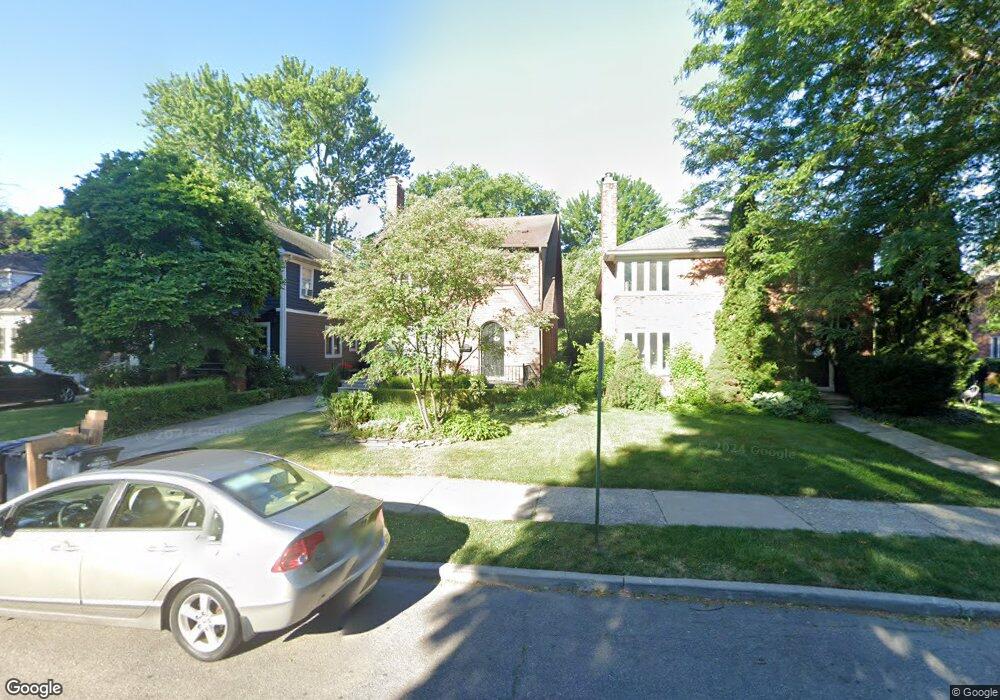
555 Neff Rd Grosse Pointe, MI 48230
Estimated Value: $378,898 - $539,000
Studio
--
Bath
2,313
Sq Ft
$195/Sq Ft
Est. Value
About This Home
This home is located at 555 Neff Rd, Grosse Pointe, MI 48230 and is currently estimated at $450,475, approximately $194 per square foot. 555 Neff Rd is a home located in Wayne County with nearby schools including Lewis Maire Elementary School, Pierce Middle School, and Grosse Pointe South High School.
Ownership History
Date
Name
Owned For
Owner Type
Purchase Details
Closed on
Nov 4, 2011
Sold by
Sobczak Rand
Bought by
The Rand Thomas Sobczak Jr Revocable Liv
Current Estimated Value
Home Financials for this Owner
Home Financials are based on the most recent Mortgage that was taken out on this home.
Original Mortgage
$203,000
Outstanding Balance
$138,092
Interest Rate
3.97%
Mortgage Type
New Conventional
Estimated Equity
$312,383
Purchase Details
Closed on
Nov 28, 2001
Sold by
Sobczak Rand T
Bought by
Sobczak Rand T
Create a Home Valuation Report for This Property
The Home Valuation Report is an in-depth analysis detailing your home's value as well as a comparison with similar homes in the area
Home Values in the Area
Average Home Value in this Area
Purchase History
| Date | Buyer | Sale Price | Title Company |
|---|---|---|---|
| The Rand Thomas Sobczak Jr Revocable Liv | -- | None Available | |
| Sobczak Rand | -- | None Available | |
| Sobczak Rand T | -- | -- |
Source: Public Records
Mortgage History
| Date | Status | Borrower | Loan Amount |
|---|---|---|---|
| Open | Sobczak Rand | $203,000 |
Source: Public Records
Tax History Compared to Growth
Tax History
| Year | Tax Paid | Tax Assessment Tax Assessment Total Assessment is a certain percentage of the fair market value that is determined by local assessors to be the total taxable value of land and additions on the property. | Land | Improvement |
|---|---|---|---|---|
| 2025 | $3,899 | $182,100 | $0 | $0 |
| 2024 | $3,768 | $175,400 | $0 | $0 |
| 2023 | $3,594 | $169,800 | $0 | $0 |
| 2022 | $5,755 | $153,600 | $0 | $0 |
| 2021 | $5,524 | $142,400 | $0 | $0 |
| 2019 | $5,598 | $123,100 | $0 | $0 |
| 2018 | $3,119 | $109,200 | $0 | $0 |
| 2017 | $4,143 | $107,800 | $0 | $0 |
| 2016 | $5,103 | $102,000 | $0 | $0 |
| 2015 | $8,902 | $93,800 | $0 | $0 |
| 2013 | $8,624 | $92,100 | $0 | $0 |
| 2012 | -- | $85,300 | $0 | $0 |
Source: Public Records
Map
Nearby Homes
- 497 Neff Rd
- 25 Village Ln
- 379 Lakeland St
- 47 Cranford Ln
- 43 Cranford Ln
- 425 Rivard Blvd
- 42 Cranford Ln
- 674 Neff Rd
- 386 Notre Dame St
- 320 Neff Rd
- 355 Lincoln Rd
- 296 Rivard Blvd
- 775 Notre Dame St
- 277 Lincoln Rd
- 1253 Grayton St
- 29 Fisher Rd
- 17680 E Jefferson Ave
- 818 Neff Rd
- 4 Cameron Place
- 11 Dodge Place