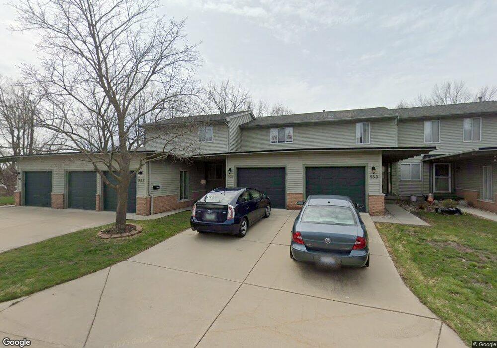
555 Oakbrook Cir Flushing, MI 48433
Estimated Value: $142,695 - $155,000
Studio
1
Bath
1,088
Sq Ft
$137/Sq Ft
Est. Value
About This Home
This home is located at 555 Oakbrook Cir, Flushing, MI 48433 and is currently estimated at $149,424, approximately $137 per square foot. 555 Oakbrook Cir is a home located in Genesee County with nearby schools including Central Elementary School, Flushing Middle School, and Flushing High School.
Ownership History
Date
Name
Owned For
Owner Type
Purchase Details
Closed on
Apr 26, 2023
Sold by
Mclearn Kevin Patrick
Bought by
Kevin Mclearn Revocable Trust
Current Estimated Value
Purchase Details
Closed on
Aug 27, 2022
Sold by
Best Family Trust
Bought by
Best Martha Elizabeth and Mclearn Kevin Patrick
Purchase Details
Closed on
Oct 29, 2012
Sold by
Best Richard H
Bought by
Best Family Trust
Purchase Details
Closed on
Mar 25, 2011
Sold by
Best Richard H and Best Shirley C
Bought by
Richard Best Trust
Create a Home Valuation Report for This Property
The Home Valuation Report is an in-depth analysis detailing your home's value as well as a comparison with similar homes in the area
Home Values in the Area
Average Home Value in this Area
Purchase History
| Date | Buyer | Sale Price | Title Company |
|---|---|---|---|
| Kevin Mclearn Revocable Trust | -- | None Listed On Document | |
| Martha Elizabeth Best Revocable Trust | -- | None Listed On Document | |
| Best Martha Elizabeth | $125,000 | -- | |
| Best Family Trust | -- | None Available | |
| Richard Best Trust | -- | None Available |
Source: Public Records
Tax History
| Year | Tax Paid | Tax Assessment Tax Assessment Total Assessment is a certain percentage of the fair market value that is determined by local assessors to be the total taxable value of land and additions on the property. | Land | Improvement |
|---|---|---|---|---|
| 2025 | $3,108 | $68,800 | $0 | $0 |
| 2024 | $2,523 | $64,200 | $0 | $0 |
| 2023 | $3,569 | $61,700 | $0 | $0 |
| 2022 | $1,442 | $51,200 | $0 | $0 |
| 2021 | $1,442 | $47,900 | $0 | $0 |
| 2020 | $1,166 | $42,000 | $0 | $0 |
| 2019 | $1,142 | $36,700 | $0 | $0 |
| 2018 | $1,317 | $34,100 | $0 | $0 |
| 2017 | $1,240 | $33,000 | $0 | $0 |
| 2016 | $1,231 | $25,158 | $0 | $0 |
| 2015 | $1,224 | $0 | $0 | $0 |
| 2012 | -- | $33,600 | $33,600 | $0 |
Source: Public Records
Map
Nearby Homes
- 588 Oakbrook Cir
- 527 Oakbrook Cir Unit 14
- 120 Boman St
- 200 Boman St
- 530 Coutant St
- 314 Myrtle St
- 113 N Mckinley Rd
- 433 Dutch Mill Dr
- 315 N Maple St
- 0 Double Tree Estates
- 6106 E River Rd
- 6289 W River Rd
- 0 E River Rd Unit 50180952
- 621 Ashwood Dr
- 507 Dale St
- 501 Spring Ln
- 321 Terrace Dr
- 748 Bending Ct
- 515 Chestnut St
- 100 Aberdeen Dr Unit 36
- 559 Oakbrook Cir
- 557 Oakbrook Cir
- 553 Oakbrook Cir
- 551 Oakbrook Cir Unit 25
- 549 Oakbrook Cir Unit 24
- 547 Oakbrook Cir
- 545 Oakbrook Cir
- 546 Oakbrook Cir Unit 7
- 548 Oakbrook Cir
- 543 Oakbrook Cir Unit 21
- 550 Oakbrook Cir
- 554 Oakbrook Cir Unit 10
- 556 Oakbrook Cir
- 556 Oakbrook Cir Unit 11
- 556 Oakbrook Cir Unit 4
- 541 Oakbrook Cir Unit 20
- 540 Oakbrook Cir Unit 6
- 590 Oakbrook Cir Unit 23
- 592 Oakbrook Cir Unit 24
- 609 E Main St
Your Personal Tour Guide
Ask me questions while you tour the home.