555 Rattlesnake Bridge Rd Bedminster, NJ 07921
Estimated Value: $1,974,000 - $2,910,196
4
Beds
6
Baths
6,577
Sq Ft
$385/Sq Ft
Est. Value
About This Home
This home is located at 555 Rattlesnake Bridge Rd, Bedminster, NJ 07921 and is currently estimated at $2,533,799, approximately $385 per square foot. 555 Rattlesnake Bridge Rd is a home located in Somerset County with nearby schools including Bedminster Township School and Whitehouse Preparatory School.
Ownership History
Date
Name
Owned For
Owner Type
Purchase Details
Closed on
Oct 19, 1994
Sold by
Uhler Joe
Bought by
Lightcap Mark
Current Estimated Value
Home Financials for this Owner
Home Financials are based on the most recent Mortgage that was taken out on this home.
Original Mortgage
$50,000
Interest Rate
8.49%
Create a Home Valuation Report for This Property
The Home Valuation Report is an in-depth analysis detailing your home's value as well as a comparison with similar homes in the area
Home Values in the Area
Average Home Value in this Area
Purchase History
| Date | Buyer | Sale Price | Title Company |
|---|---|---|---|
| Lightcap Mark | $750,000 | -- |
Source: Public Records
Mortgage History
| Date | Status | Borrower | Loan Amount |
|---|---|---|---|
| Closed | Lightcap Mark | $50,000 |
Source: Public Records
Tax History Compared to Growth
Tax History
| Year | Tax Paid | Tax Assessment Tax Assessment Total Assessment is a certain percentage of the fair market value that is determined by local assessors to be the total taxable value of land and additions on the property. | Land | Improvement |
|---|---|---|---|---|
| 2025 | $27,212 | $2,271,400 | $922,700 | $1,348,700 |
| 2024 | $27,212 | $2,142,700 | $882,900 | $1,259,800 |
| 2023 | $27,262 | $2,034,500 | $848,800 | $1,185,700 |
| 2022 | $27,292 | $1,987,800 | $839,200 | $1,148,600 |
| 2021 | $27,756 | $1,946,400 | $839,200 | $1,107,200 |
| 2020 | $27,318 | $1,975,300 | $843,700 | $1,131,600 |
| 2019 | $27,756 | $2,018,600 | $843,700 | $1,174,900 |
| 2018 | $27,433 | $2,021,600 | $843,700 | $1,177,900 |
| 2017 | $28,657 | $2,078,100 | $843,700 | $1,234,400 |
| 2016 | $27,985 | $2,059,200 | $843,700 | $1,215,500 |
| 2015 | $27,730 | $2,040,500 | $836,200 | $1,204,300 |
| 2014 | $27,513 | $2,011,200 | $836,200 | $1,175,000 |
Source: Public Records
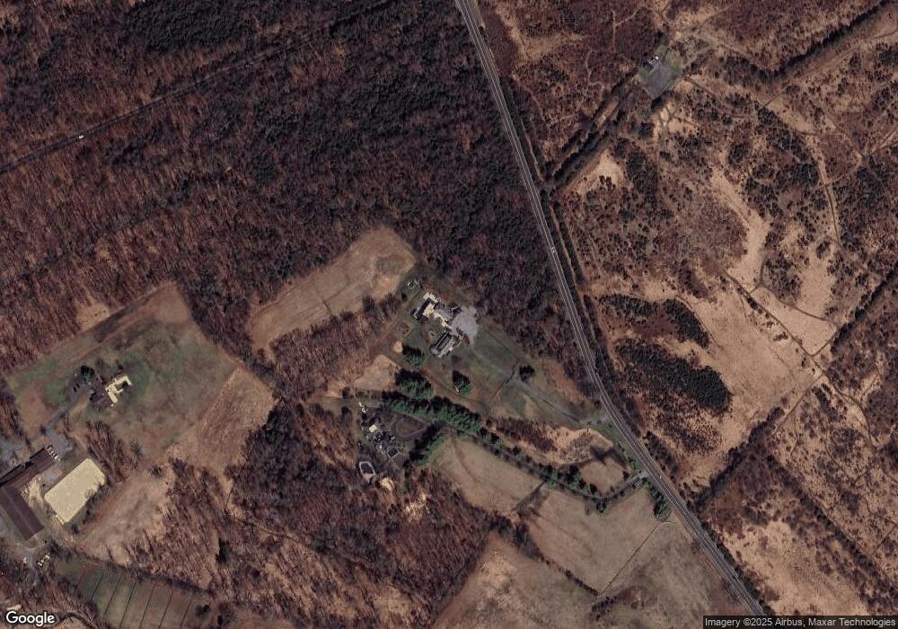
Map
Nearby Homes
- 12 Laomatong Rd
- 122 Janelle Ct
- 248 Carol Jean Way
- 10 Clark Ln
- 3366 Round Hill Rd
- 508 Keenland Ct
- 41 Sanderson Ct
- 40 France Dr
- 3366 Us Highway 22
- 9 van Cleef Dr
- 1217 Berry Farm Rd
- 2 Eckles Dr
- 33 Old Highway 28
- 110 Arbor Way
- 300 Bunn Rd
- 1135 State Route 28
- 615 Magnolia Ln
- 1114 State Route 28
- 41 Coddington Rd
- 101 Main St
- 100 W River Rd
- 1 Laomatong Rd
- 3 Laomatong Rd
- 5A Laomatong Rd
- 5 Laomatong Rd
- 10 Island
- 7 Laomatong Rd
- 8 Laomatong Rd
- 9 Laomatong Rd
- 10 Laomatong Rd
- 11 Laomatong Rd
- 51 Lamington Rd
- 13 Laomatong Rd
- 41 Lamington Rd
- 41 Lamington Rd
- 37 Island Rd
- 15 Laomatong Rd
- 24 Laura Ln
- 105 Rattlesnake Bridge Rd
- 17 Laura Ln