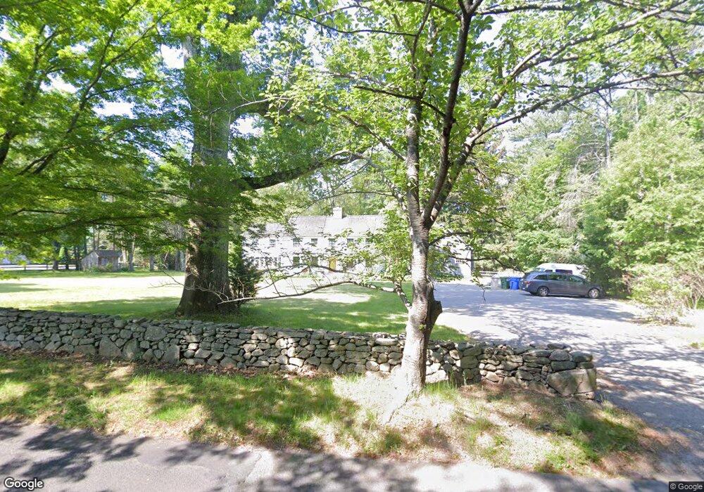
555 Redding Rd Fairfield, CT 06824
Greenfield Hill NeighborhoodEstimated Value: $1,348,000 - $1,671,000
3
Beds
3
Baths
2,061
Sq Ft
$726/Sq Ft
Est. Value
About This Home
This home is located at 555 Redding Rd, Fairfield, CT 06824 and is currently estimated at $1,495,551, approximately $725 per square foot. 555 Redding Rd is a home located in Fairfield County with nearby schools including Dwight Elementary School, Roger Ludlowe Middle School, and Fairfield Ludlowe High School.
Ownership History
Date
Name
Owned For
Owner Type
Purchase Details
Closed on
Jul 29, 2010
Sold by
Seeberg Elizabeth A Es
Bought by
Koeck Carl and Koeck Mary Jo
Current Estimated Value
Home Financials for this Owner
Home Financials are based on the most recent Mortgage that was taken out on this home.
Original Mortgage
$660,000
Outstanding Balance
$441,588
Interest Rate
4.78%
Estimated Equity
$1,053,963
Create a Home Valuation Report for This Property
The Home Valuation Report is an in-depth analysis detailing your home's value as well as a comparison with similar homes in the area
Home Values in the Area
Average Home Value in this Area
Purchase History
| Date | Buyer | Sale Price | Title Company |
|---|---|---|---|
| Koeck Carl | $825,000 | -- | |
| Koeck Carl | $825,000 | -- |
Source: Public Records
Mortgage History
| Date | Status | Borrower | Loan Amount |
|---|---|---|---|
| Open | Koeck Carl | $660,000 | |
| Closed | Koeck Carl | $660,000 |
Source: Public Records
Tax History
| Year | Tax Paid | Tax Assessment Tax Assessment Total Assessment is a certain percentage of the fair market value that is determined by local assessors to be the total taxable value of land and additions on the property. | Land | Improvement |
|---|---|---|---|---|
| 2025 | $16,473 | $580,230 | $333,550 | $246,680 |
| 2024 | $16,477 | $590,590 | $333,550 | $257,040 |
| 2023 | $16,247 | $590,590 | $333,550 | $257,040 |
| 2022 | $16,088 | $590,590 | $333,550 | $257,040 |
| 2021 | $15,934 | $590,590 | $333,550 | $257,040 |
| 2020 | $18,147 | $677,390 | $378,700 | $298,690 |
| 2019 | $17,412 | $649,950 | $378,700 | $271,250 |
| 2018 | $17,133 | $649,950 | $378,700 | $271,250 |
| 2017 | $16,782 | $649,950 | $378,700 | $271,250 |
| 2016 | $16,541 | $649,950 | $378,700 | $271,250 |
| 2015 | $16,130 | $650,650 | $434,770 | $215,880 |
| 2014 | $16,289 | $667,590 | $434,770 | $232,820 |
Source: Public Records
Map
Nearby Homes
- 2683 Bronson Rd
- 1380 Old Academy Rd
- 110 Queens Grant Dr
- 688 Hulls Farm Rd
- 3674 Congress St
- 360 Duck Farm Rd
- 1 Sturges Hwy Unit 2
- 2177 Cross Hwy
- 148 Millspaugh Dr
- 21 Sturges Commons
- 10 Debra Ln
- 218 Lower Farm Rd
- 3 Hunt Club Ln
- 1353 Mill Plain Rd
- 107 Old Rd
- 1 Angora Rd
- 125 Old Rd
- 1 Coastal Ct
- 647 Bronson Rd
- 1115 Galloping Hill Rd
- 494 Redding Rd
- 511 Redding Rd
- 536 Redding Rd
- 605 Redding Rd
- 895 Verna Hill Rd
- 645 Redding Rd
- 467 Redding Rd
- 821 Verna Hill Rd
- 470 Redding Rd
- 440 Redding Rd
- 439 Redding Rd
- 193 Merwins Ln
- 799 Verna Hill Rd
- 191 Merwins Ln
- 675 Redding Rd
- 389 Redding Rd
- 424 Redding Rd
- 840 Verna Hill Rd
- 195 Merwins Ln
- 745 Verna Hill Rd
Your Personal Tour Guide
Ask me questions while you tour the home.