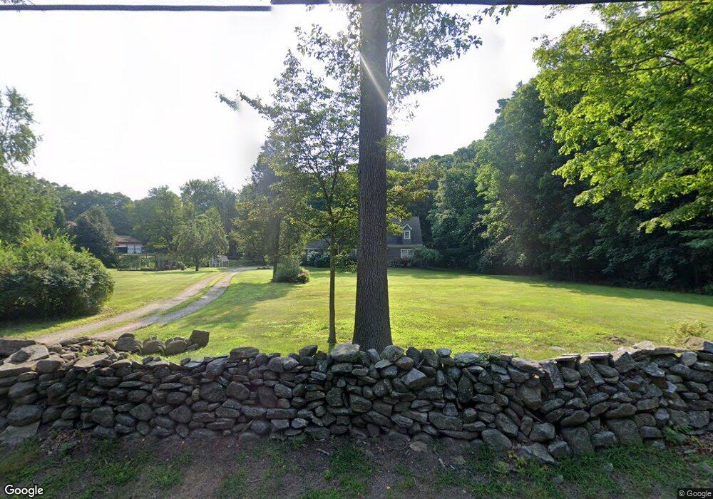
555 Route 81 Killingworth, CT 06419
Estimated Value: $470,000 - $734,000
3
Beds
3
Baths
2,310
Sq Ft
$266/Sq Ft
Est. Value
About This Home
This home is located at 555 Route 81, Killingworth, CT 06419 and is currently estimated at $615,427, approximately $266 per square foot. 555 Route 81 is a home located in Middlesex County with nearby schools including Haddam-Killingworth High School and Haddam-Killingworth Intermediate School.
Ownership History
Date
Name
Owned For
Owner Type
Purchase Details
Closed on
May 23, 1997
Sold by
Bauer Richard A and Bauer Sally Anne B
Bought by
Mchugh Steven M and Mchugh Catherine P
Current Estimated Value
Home Financials for this Owner
Home Financials are based on the most recent Mortgage that was taken out on this home.
Original Mortgage
$141,550
Interest Rate
8.08%
Mortgage Type
Unknown
Create a Home Valuation Report for This Property
The Home Valuation Report is an in-depth analysis detailing your home's value as well as a comparison with similar homes in the area
Home Values in the Area
Average Home Value in this Area
Purchase History
| Date | Buyer | Sale Price | Title Company |
|---|---|---|---|
| Mchugh Steven M | $149,000 | -- |
Source: Public Records
Mortgage History
| Date | Status | Borrower | Loan Amount |
|---|---|---|---|
| Open | Mchugh Steven M | $313,000 | |
| Closed | Mchugh Steven M | $136,000 | |
| Closed | Mchugh Steven M | $137,000 | |
| Closed | Mchugh Steven M | $141,550 |
Source: Public Records
Tax History Compared to Growth
Tax History
| Year | Tax Paid | Tax Assessment Tax Assessment Total Assessment is a certain percentage of the fair market value that is determined by local assessors to be the total taxable value of land and additions on the property. | Land | Improvement |
|---|---|---|---|---|
| 2025 | $6,699 | $255,500 | $70,280 | $185,220 |
| 2024 | $6,188 | $255,500 | $70,280 | $185,220 |
| 2023 | $5,997 | $255,500 | $70,280 | $185,220 |
| 2022 | $5,933 | $255,500 | $70,280 | $185,220 |
| 2021 | $5,572 | $208,550 | $73,770 | $134,780 |
| 2020 | $5,572 | $208,550 | $73,770 | $134,780 |
| 2019 | $3,606 | $208,550 | $73,770 | $134,780 |
| 2018 | $6,221 | $208,550 | $73,770 | $134,780 |
| 2017 | $3,606 | $208,550 | $73,770 | $134,780 |
| 2016 | $5,408 | $208,900 | $110,770 | $98,130 |
| 2015 | $5,271 | $208,900 | $110,770 | $98,130 |
| 2014 | $5,124 | $208,900 | $110,770 | $98,130 |
Source: Public Records
Map
Nearby Homes
- 511 Route 81
- 640 Route 81
- 172 Parker Hill Rd
- 12 Rachel Ct
- 464 Roast Meat Hill Rd
- 13 Cranberry Meadow Ln
- 275 Route 148
- 36 Meadow Rd
- 24 Boulder Trail
- 29 Bridlepath Trail
- 6 Country Club Trail
- 8 Livemore Trail
- 1 Route 148
- 15 Colonial Dr
- 3 Woodland Trail
- 14 Kenilworth Dr
- 10 & 12 Firetower Rd
- 8 Route 148
- 593 Route 148
- 590 Route 148
- 559 Route 81
- 549 Route 81
- 545 Route 81
- 565 Route 81
- 550 Route 81
- 566 Route 81
- 556 Route 81
- 560 Route 81
- 3 L Hommedieu Rd
- 00 L Hommedieu Rd
- 543 Route 81
- 00 Pond Meadow Rd
- 541 Route 81
- 542 Route 81
- 4 Pond Meadow Rd
- 541 Higganum Rd
- 09 Pond Meadow Rd
- 5 L Hommedieu Rd
- 0 Pond Meadow Rd Unit G668219
- 0 Pond Meadow Rd Unit G10057114