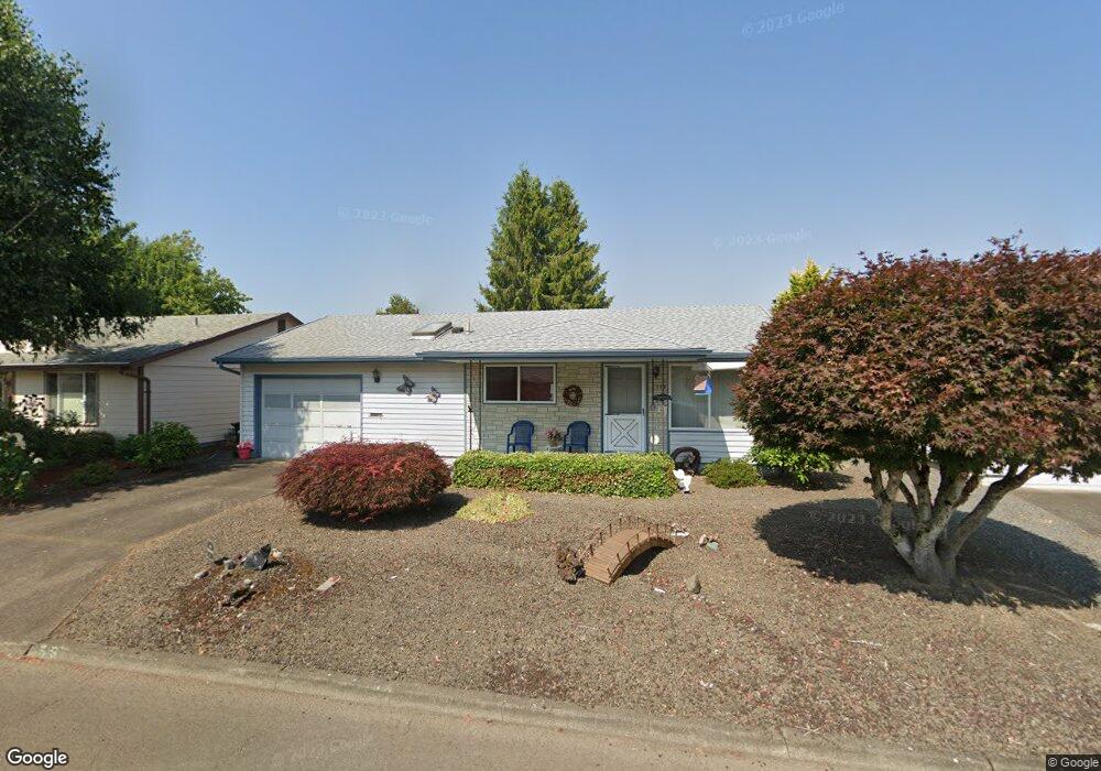
555 S Columbia Dr Woodburn, OR 97071
Estimated Value: $294,000 - $342,000
2
Beds
1
Bath
868
Sq Ft
$362/Sq Ft
Est. Value
About This Home
This home is located at 555 S Columbia Dr, Woodburn, OR 97071 and is currently estimated at $314,413, approximately $362 per square foot. 555 S Columbia Dr is a home located in Marion County with nearby schools including Nellie Muir Elementary School, Valor Middle School, and Woodburn Arthur Academy.
Ownership History
Date
Name
Owned For
Owner Type
Purchase Details
Closed on
Sep 12, 2024
Sold by
Stenger Mary
Bought by
Mary Stenger Family Trust and Stenger
Current Estimated Value
Create a Home Valuation Report for This Property
The Home Valuation Report is an in-depth analysis detailing your home's value as well as a comparison with similar homes in the area
Home Values in the Area
Average Home Value in this Area
Purchase History
| Date | Buyer | Sale Price | Title Company |
|---|---|---|---|
| Mary Stenger Family Trust | -- | None Listed On Document |
Source: Public Records
Tax History Compared to Growth
Tax History
| Year | Tax Paid | Tax Assessment Tax Assessment Total Assessment is a certain percentage of the fair market value that is determined by local assessors to be the total taxable value of land and additions on the property. | Land | Improvement |
|---|---|---|---|---|
| 2024 | $2,656 | $137,360 | -- | -- |
| 2023 | $2,639 | $133,360 | $0 | $0 |
| 2022 | $2,499 | $129,480 | $0 | $0 |
| 2021 | $2,427 | $125,710 | $0 | $0 |
| 2020 | $2,427 | $122,050 | $0 | $0 |
| 2019 | $2,289 | $118,500 | $0 | $0 |
| 2018 | $2,241 | $0 | $0 | $0 |
| 2017 | $2,176 | $0 | $0 | $0 |
| 2016 | $2,111 | $0 | $0 | $0 |
| 2015 | $1,879 | $0 | $0 | $0 |
| 2014 | $1,577 | $0 | $0 | $0 |
Source: Public Records
Map
Nearby Homes
- 531 S Columbia Dr
- 577 S Columbia Dr
- 509 S Columbia Dr
- 597 S Columbia Dr
- 560 S Columbia Dr
- 540 S Columbia Dr
- 270 Baylor Dr
- 518 S Columbia Dr
- 584 S Columbia Dr
- 284 Baylor Dr
- 487 S Columbia Dr
- 262 Baylor Dr
- 621 S Columbia Dr
- 496 S Columbia Dr
- 292 Baylor Dr
- 256 Baylor Dr
- 606 S Columbia Dr
- 465 S Columbia Dr
- 643 S Columbia Dr
- 300 Baylor Dr