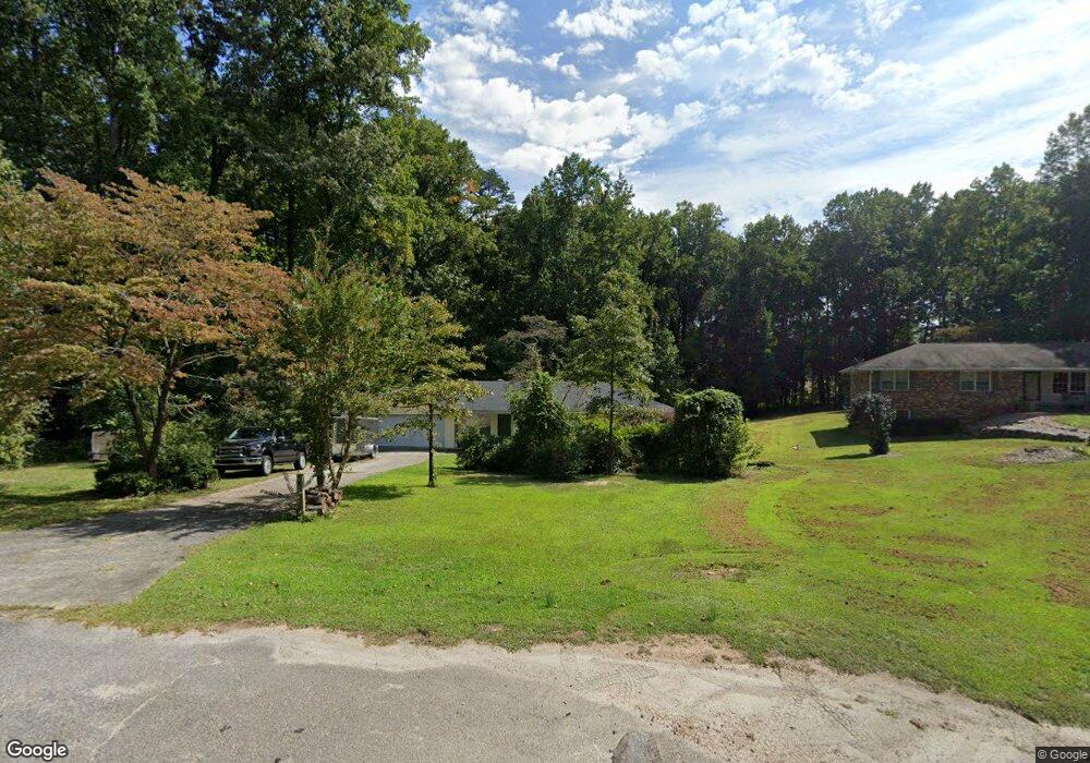
555 Shamrock Dr Unit 2 Cumming, GA 30040
Estimated Value: $326,000 - $745,000
2
Beds
2
Baths
1,470
Sq Ft
$306/Sq Ft
Est. Value
About This Home
This home is located at 555 Shamrock Dr Unit 2, Cumming, GA 30040 and is currently estimated at $450,380, approximately $306 per square foot. 555 Shamrock Dr Unit 2 is a home located in Forsyth County with nearby schools including Cumming Elementary School, Otwell Middle School, and Forsyth Central High School.
Ownership History
Date
Name
Owned For
Owner Type
Purchase Details
Closed on
Apr 27, 2004
Sold by
Elias Debra A
Bought by
Wcb Properties Llc
Current Estimated Value
Purchase Details
Closed on
Sep 20, 2002
Sold by
Leach Clyde E
Bought by
Ellas Debra
Home Financials for this Owner
Home Financials are based on the most recent Mortgage that was taken out on this home.
Original Mortgage
$126,637
Interest Rate
6.21%
Mortgage Type
FHA
Create a Home Valuation Report for This Property
The Home Valuation Report is an in-depth analysis detailing your home's value as well as a comparison with similar homes in the area
Home Values in the Area
Average Home Value in this Area
Purchase History
| Date | Buyer | Sale Price | Title Company |
|---|---|---|---|
| Wcb Properties Llc | $128,900 | -- | |
| Ellas Debra | $127,000 | -- |
Source: Public Records
Mortgage History
| Date | Status | Borrower | Loan Amount |
|---|---|---|---|
| Previous Owner | Ellas Debra | $126,637 |
Source: Public Records
Tax History Compared to Growth
Tax History
| Year | Tax Paid | Tax Assessment Tax Assessment Total Assessment is a certain percentage of the fair market value that is determined by local assessors to be the total taxable value of land and additions on the property. | Land | Improvement |
|---|---|---|---|---|
| 2025 | $2,311 | $118,480 | $41,272 | $77,208 |
| 2024 | $2,311 | $113,348 | $38,000 | $75,348 |
| 2023 | $2,046 | $119,376 | $38,000 | $81,376 |
| 2022 | $2,237 | $70,740 | $20,000 | $50,740 |
| 2021 | $1,797 | $70,740 | $20,000 | $50,740 |
| 2020 | $1,741 | $68,004 | $20,000 | $48,004 |
| 2019 | $1,697 | $65,748 | $18,000 | $47,748 |
| 2018 | $1,843 | $61,256 | $18,000 | $43,256 |
| 2017 | $1,668 | $60,104 | $18,000 | $42,104 |
| 2016 | $1,396 | $50,304 | $12,000 | $38,304 |
| 2015 | $1,399 | $50,304 | $12,000 | $38,304 |
| 2014 | $1,247 | $47,116 | $0 | $0 |
Source: Public Records
Map
Nearby Homes
- 535 Shamrock Dr
- 280 Oxford Rd
- 102 Birch Tree Way
- 173 Basil St
- 163 Basil St
- 159 Basil St
- 155 Basil St
- 104 Brackley Dr
- 112 Brackley Dr
- 161 Basil St
- The Maren Plan at Brackley - Single Family
- The Manchester Plan at Brackley - Single Family
- The Greenville Plan at Brackley - Single Family
- 360 Mary Alice Park Rd
- 169 Basil St
- 167 Basil St
- 157 Basil St
- 0 Georgia 400 Unit 7490148
- 1250 Winterhaven Dr
- 116 E Maple St
- 565 Shamrock Dr
- 0 Shamrock Dr Unit 7275167
- 0 Shamrock Dr Unit 8779302
- 0 Shamrock Dr
- 560 Shamrock Dr
- 550 Shamrock Dr
- 540 Shamrock Dr
- 365 Cambridge Dr Unit 2
- 415 Cambridge Dr
- 355 Cambridge Dr
- 520 Shamrock Dr
- 0 Cambridge Dr Unit 5873531
- 0 Cambridge Dr Unit 8251204
- 0 Cambridge Dr Unit 8843837
- 0 Cambridge Dr Unit 6668979
- 0 Cambridge Dr Unit 8721889
- 0 Cambridge Dr Unit 3240862
- 345 Cambridge Dr
- 515 Cambridge Dr
- 420 Cambridge Dr