555 State Route 57 Port Murray, NJ 07865
Estimated Value: $14,206,197
--
Bed
--
Bath
226,375
Sq Ft
$63/Sq Ft
Est. Value
About This Home
This home is located at 555 State Route 57, Port Murray, NJ 07865 and is currently estimated at $14,206,197, approximately $62 per square foot. 555 State Route 57 is a home with nearby schools including Mansfield Twp Elementary School, Warren Hills Regional Middle School, and Warren Hills Reg High School.
Ownership History
Date
Name
Owned For
Owner Type
Purchase Details
Closed on
Apr 16, 2010
Sold by
Nyk Logistics Americas Inc
Bought by
Nyk Logistics Americas Inc
Current Estimated Value
Purchase Details
Closed on
Sep 26, 1995
Sold by
Mobil Oil Corp
Bought by
Zeta Consumer Products Corp
Create a Home Valuation Report for This Property
The Home Valuation Report is an in-depth analysis detailing your home's value as well as a comparison with similar homes in the area
Home Values in the Area
Average Home Value in this Area
Purchase History
| Date | Buyer | Sale Price | Title Company |
|---|---|---|---|
| Nyk Logistics Americas Inc | -- | None Available | |
| Nyk Logistics Americas Inc | -- | None Available | |
| Zeta Consumer Products Corp | $3,550,000 | -- |
Source: Public Records
Tax History Compared to Growth
Tax History
| Year | Tax Paid | Tax Assessment Tax Assessment Total Assessment is a certain percentage of the fair market value that is determined by local assessors to be the total taxable value of land and additions on the property. | Land | Improvement |
|---|---|---|---|---|
| 2025 | $208,375 | $5,891,300 | $1,385,300 | $4,506,000 |
| 2024 | $209,259 | $5,891,300 | $1,385,300 | $4,506,000 |
| 2023 | $205,547 | $5,891,300 | $1,385,300 | $4,506,000 |
| 2022 | $205,547 | $5,891,300 | $1,385,300 | $4,506,000 |
| 2021 | $206,961 | $5,891,300 | $1,385,300 | $4,506,000 |
| 2020 | $204,899 | $5,891,300 | $1,385,300 | $4,506,000 |
| 2019 | $198,242 | $5,891,300 | $1,385,300 | $4,506,000 |
| 2018 | $194,059 | $5,891,300 | $1,385,300 | $4,506,000 |
| 2017 | $194,059 | $5,891,300 | $1,385,300 | $4,506,000 |
| 2016 | $189,641 | $5,891,300 | $1,385,300 | $4,506,000 |
| 2015 | $190,992 | $6,061,300 | $1,385,300 | $4,676,000 |
| 2014 | $184,930 | $5,976,300 | $1,385,300 | $4,591,000 |
Source: Public Records
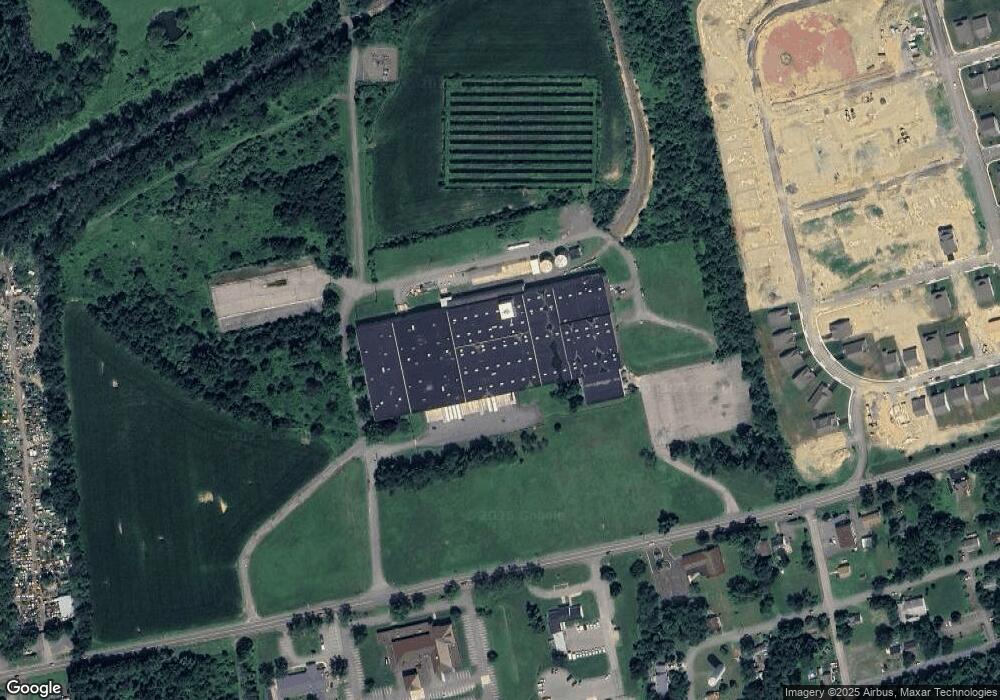
Map
Nearby Homes
- Palladio Plan at Mansfield Meadows 55+
- Bramante Plan at Mansfield Meadows 55+
- Alberti Plan at Mansfield Meadows 55+
- 92 Clinton Ave
- 25 Adams St
- 5 Thomas Knoll Blvd
- 0 Adams St
- 0 Harrison Ave
- 0 Anderson Rd
- 21 Gulick St
- 0 Frome St Unit 3951790
- 1 Wilson St
- 2 Clover Ave
- 0 Port Murray Rd Unit 3950462
- 0 Port Murray Rd Unit 3946276
- 0 Port Murray Rd Unit 3951792
- 14 Butler Park Rd
- 470 State Route 57 E
- 1333 New Jersey 57
- 394 Hoffman Rd
- 0 Middle Ln E Unit 3559833
- 0 Middle Ln E Unit 3553767
- 15 Middle Ln E
- 45 Mountain View Ln
- 49 Mountain View Ln
- 51 Mountain View Ln
- 53 Mountain View Ln
- 69 Mountain View Ln
- 600 New Jersey 57
- 600 State Route 57
- 176 Clinton Ave
- 3 Redwood Run
- 602 New Jersey 57
- 602 State Route 57
- 2 Redwood Run Unit 36142929
- 2 Redwood Run Unit 36142930
- 29 Redwood Run
- 21 Redwood Run
- 12 Mountain View Ln
- 5 Redwood Run