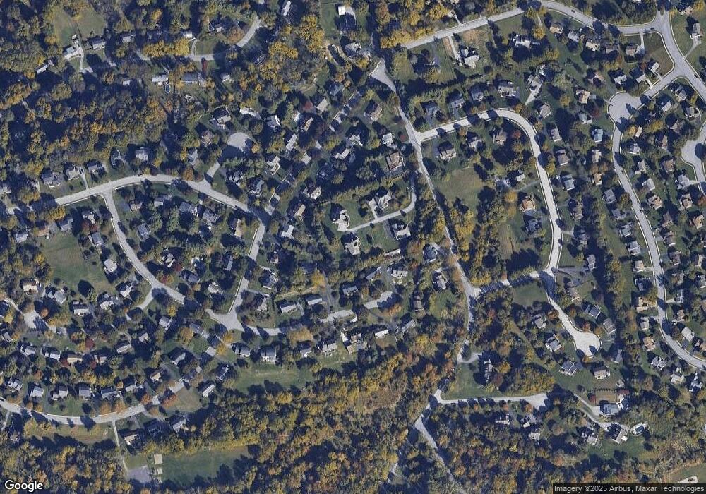
555 Taylor Rd Unit LOT 3 Downingtown, PA 19335
Estimated Value: $904,571 - $1,013,000
4
Beds
5
Baths
4,100
Sq Ft
$232/Sq Ft
Est. Value
About This Home
This home is located at 555 Taylor Rd Unit LOT 3, Downingtown, PA 19335 and is currently estimated at $953,143, approximately $232 per square foot. 555 Taylor Rd Unit LOT 3 is a home located in Chester County with nearby schools including Uwchlan Hills El School, Lionville Middle School, and Downingtown High School East.
Ownership History
Date
Name
Owned For
Owner Type
Purchase Details
Closed on
Dec 10, 2010
Sold by
Hoppco Associates Lp
Bought by
Rippy Matthew P and Rippy Kolleen M
Current Estimated Value
Home Financials for this Owner
Home Financials are based on the most recent Mortgage that was taken out on this home.
Original Mortgage
$250,000
Outstanding Balance
$165,254
Interest Rate
4.23%
Mortgage Type
New Conventional
Estimated Equity
$787,889
Create a Home Valuation Report for This Property
The Home Valuation Report is an in-depth analysis detailing your home's value as well as a comparison with similar homes in the area
Home Values in the Area
Average Home Value in this Area
Purchase History
| Date | Buyer | Sale Price | Title Company |
|---|---|---|---|
| Rippy Matthew P | $495,000 | None Available |
Source: Public Records
Mortgage History
| Date | Status | Borrower | Loan Amount |
|---|---|---|---|
| Open | Rippy Matthew P | $250,000 |
Source: Public Records
Tax History Compared to Growth
Tax History
| Year | Tax Paid | Tax Assessment Tax Assessment Total Assessment is a certain percentage of the fair market value that is determined by local assessors to be the total taxable value of land and additions on the property. | Land | Improvement |
|---|---|---|---|---|
| 2025 | $9,488 | $277,200 | $49,300 | $227,900 |
| 2024 | $9,488 | $277,200 | $49,300 | $227,900 |
| 2023 | $9,211 | $277,200 | $49,300 | $227,900 |
| 2022 | $8,980 | $277,200 | $49,300 | $227,900 |
| 2021 | $8,830 | $277,200 | $49,300 | $227,900 |
| 2020 | $8,779 | $277,200 | $49,300 | $227,900 |
| 2019 | $8,779 | $277,200 | $49,300 | $227,900 |
| 2018 | $8,779 | $277,200 | $49,300 | $227,900 |
| 2017 | $8,779 | $277,200 | $49,300 | $227,900 |
| 2016 | $11,747 | $277,200 | $49,300 | $227,900 |
| 2015 | $11,747 | $277,200 | $49,300 | $227,900 |
| 2014 | $11,747 | $277,200 | $49,300 | $227,900 |
Source: Public Records
Map
Nearby Homes
- 100 Trowbridge Ln
- 111 Conreys Way
- 508 Langford Dr
- 800 Dowlin Forge Rd
- 502 Langford Dr
- 509 Ferncastle Dr
- 281 Woodland Dr
- 223 Warren Ct
- 574 Gramercy Ln Unit 32
- 1506 Cricket Ln
- 104 Victoria Ct
- 602 Wexford Ave
- 108 Victoria Ct
- 637 Huntington Dr
- 3 Dowlin Forge Rd
- 30 S Village Ave
- 5 Ansley Dr
- 475 Shelmire Rd
- 611 N Whitford Rd
- 75 Gunning Ln Unit 28
- 555 Taylor Rd
- 551 Taylor Rd
- 210 Trowbridge Ln
- 559 Taylor Rd
- 208 Trowbridge Ln
- 212 Trowbridge Ln
- 547 Taylor Rd
- 206 Trowbridge Ln
- 573 Taylor Rd
- 271 Spring Run Ln
- 273 Spring Run Ln
- 277 Spring Run Ln
- 275 Spring Run Ln
- 204 Trowbridge Ln
- 214 Trowbridge Ln
- 543 Taylor Rd
- 575 Taylor Rd
- 279 Spring Run Ln
- 269 Spring Run Ln
- 211 Trowbridge Ln
