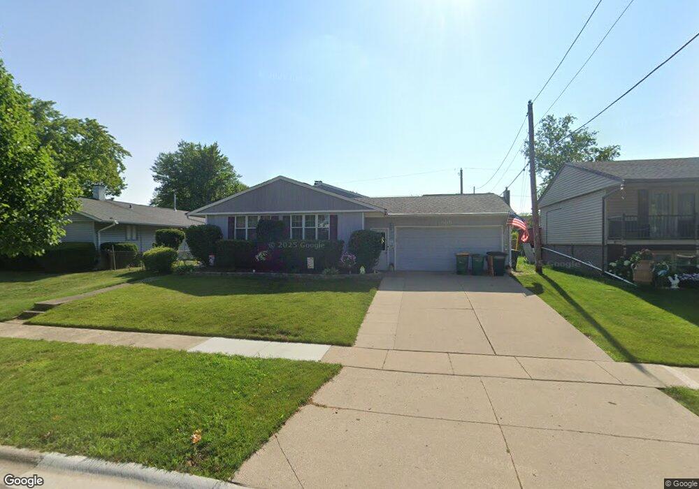
555 Thornwood Dr Buffalo Grove, IL 60089
South Buffalo Grove NeighborhoodEstimated Value: $401,000 - $467,000
4
Beds
2
Baths
1,448
Sq Ft
$298/Sq Ft
Est. Value
About This Home
This home is located at 555 Thornwood Dr, Buffalo Grove, IL 60089 and is currently estimated at $430,927, approximately $297 per square foot. 555 Thornwood Dr is a home located in Cook County with nearby schools including Henry W Longfellow Elementary School, Cooper Middle School, and Buffalo Grove High School.
Ownership History
Date
Name
Owned For
Owner Type
Purchase Details
Closed on
Apr 13, 2017
Sold by
Spinelle Anthony
Bought by
Nosko Gary S and Nosko Antoinette C
Current Estimated Value
Home Financials for this Owner
Home Financials are based on the most recent Mortgage that was taken out on this home.
Original Mortgage
$207,570
Outstanding Balance
$171,098
Interest Rate
3.87%
Mortgage Type
FHA
Estimated Equity
$259,829
Purchase Details
Closed on
Aug 15, 2014
Sold by
Spinelle Angeline E and Spinelle William J
Bought by
Spinelle Angeline E and The Angeline E Spinelle Living Trust
Create a Home Valuation Report for This Property
The Home Valuation Report is an in-depth analysis detailing your home's value as well as a comparison with similar homes in the area
Home Values in the Area
Average Home Value in this Area
Purchase History
| Date | Buyer | Sale Price | Title Company |
|---|---|---|---|
| Nosko Gary S | $240,000 | Acquest Title Services Llc | |
| Spinelle Angeline E | -- | None Available |
Source: Public Records
Mortgage History
| Date | Status | Borrower | Loan Amount |
|---|---|---|---|
| Open | Nosko Gary S | $207,570 |
Source: Public Records
Tax History Compared to Growth
Tax History
| Year | Tax Paid | Tax Assessment Tax Assessment Total Assessment is a certain percentage of the fair market value that is determined by local assessors to be the total taxable value of land and additions on the property. | Land | Improvement |
|---|---|---|---|---|
| 2024 | $7,901 | $28,000 | $8,640 | $19,360 |
| 2023 | $7,569 | $28,000 | $8,640 | $19,360 |
| 2022 | $7,569 | $28,000 | $8,640 | $19,360 |
| 2021 | $6,573 | $21,936 | $6,120 | $15,816 |
| 2020 | $6,475 | $21,936 | $6,120 | $15,816 |
| 2019 | $6,493 | $24,401 | $6,120 | $18,281 |
| 2018 | $8,171 | $27,161 | $5,400 | $21,761 |
| 2017 | $9,182 | $27,161 | $5,400 | $21,761 |
| 2016 | $7,186 | $27,161 | $5,400 | $21,761 |
| 2015 | $7,038 | $25,215 | $4,680 | $20,535 |
| 2014 | $6,953 | $25,215 | $4,680 | $20,535 |
| 2013 | $6,396 | $25,215 | $4,680 | $20,535 |
Source: Public Records
Map
Nearby Homes
- 665 Thornwood Dr
- 455 Mayfair Ln
- 535 Estate Dr
- 571 Estate Dr
- 310 Rosewood Ave
- 813 Stradford Cir Unit 21B2
- 820 Weidner Rd Unit 4013
- 820 Weidner Rd Unit 409
- 859 Beechwood Rd
- 234 Mohawk Trail
- 3451 N Carriageway Dr Unit 503
- 720 Weidner Rd Unit 302
- 921 Bernard Dr
- 443 Diane Dr
- 12 Oak Creek Dr Unit 2212
- 183 Saint Marys Pkwy
- 3300 N Carriageway Dr Unit 317
- 10 Old Oak Dr Unit 103
- 98 Glendale Rd
- 25 Crestview Terrace
- 565 Thornwood Dr
- 577 Hawthorne Rd
- 575 Thornwood Dr
- 580 Vernon Ln
- 570 Vernon Ln
- 552 Thornwood Dr
- 590 Vernon Ln
- 585 Thornwood Dr
- 568 Thornwood Dr
- 578 Thornwood Dr
- 570 Hawthorne Rd
- 600 Vernon Ln
- 584 Hawthorne Rd
- 615 Hawthorne Rd
- 594 Hawthorne Rd
- 560 Hawthorne Rd
- 595 Thornwood Dr
- 588 Thornwood Dr
- 606 Hawthorne Rd
- 550 Hawthorne Rd