Estimated Value: $728,425 - $836,000
3
Beds
3
Baths
3,608
Sq Ft
$221/Sq Ft
Est. Value
About This Home
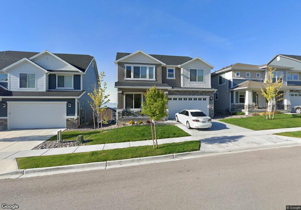
This home is located at 555 W 4100 N Unit 223, Lehi, UT 84043 and is currently estimated at $798,606, approximately $221 per square foot. 555 W 4100 N Unit 223 is a home located in Utah County with nearby schools including Belmont Elementary, Skyridge High School, and Ignite Entrepreneurship Academy.
Ownership History
Date
Name
Owned For
Owner Type
Purchase Details
Closed on
Mar 22, 2017
Sold by
Lindsay Aftan and Wilde Raymond Charles
Bought by
Lindsay Aftan and Wilde Raymond Charles
Current Estimated Value
Home Financials for this Owner
Home Financials are based on the most recent Mortgage that was taken out on this home.
Original Mortgage
$354,070
Outstanding Balance
$293,614
Interest Rate
4.17%
Mortgage Type
New Conventional
Estimated Equity
$504,992
Purchase Details
Closed on
Apr 26, 2016
Sold by
Wasatch Land Co
Bought by
Lindsay Aftan and Wilde Raymond Charles
Home Financials for this Owner
Home Financials are based on the most recent Mortgage that was taken out on this home.
Original Mortgage
$354,019
Interest Rate
3.71%
Mortgage Type
New Conventional
Create a Home Valuation Report for This Property
The Home Valuation Report is an in-depth analysis detailing your home's value as well as a comparison with similar homes in the area
Home Values in the Area
Average Home Value in this Area
Purchase History
| Date | Buyer | Sale Price | Title Company |
|---|---|---|---|
| Lindsay Aftan | -- | Provo Land Title Co | |
| Lindsay Aftan | -- | Provo Land Title Co |
Source: Public Records
Mortgage History
| Date | Status | Borrower | Loan Amount |
|---|---|---|---|
| Open | Lindsay Aftan | $354,070 | |
| Closed | Lindsay Aftan | $354,019 |
Source: Public Records
Tax History Compared to Growth
Tax History
| Year | Tax Paid | Tax Assessment Tax Assessment Total Assessment is a certain percentage of the fair market value that is determined by local assessors to be the total taxable value of land and additions on the property. | Land | Improvement |
|---|---|---|---|---|
| 2025 | $2,918 | $363,990 | $206,200 | $455,600 |
| 2024 | $2,918 | $341,440 | $0 | $0 |
| 2023 | $2,746 | $348,920 | $0 | $0 |
| 2022 | $2,650 | $326,480 | $0 | $0 |
| 2021 | $2,522 | $469,600 | $141,400 | $328,200 |
| 2020 | $2,377 | $437,600 | $130,900 | $306,700 |
| 2019 | $2,078 | $397,600 | $130,900 | $266,700 |
| 2018 | $1,909 | $345,400 | $113,500 | $231,900 |
| 2017 | $1,693 | $162,800 | $0 | $0 |
| 2016 | $1,011 | $90,200 | $0 | $0 |
| 2015 | $996 | $84,400 | $0 | $0 |
Source: Public Records
Map
Nearby Homes
- 4022 N Spring Brook Ln
- Oakridge Plan at Inverness
- Harmony Plan at Inverness
- Timberlake Plan at Inverness
- Kirkhill Plan at Inverness
- Hamilton Plan at Inverness
- Sydney Plan at Inverness
- Beechwood Plan at Inverness
- Oakley Plan at Inverness
- Dalton Plan at Inverness
- Maclean Plan at Inverness
- Elgin Plan at Inverness
- Overton Plan at Inverness
- Monroe Plan at Inverness
- Broadford Plan at Inverness
- Cullin Plan at Inverness
- Dunbar Plan at Inverness
- Aviemore Plan at Inverness
- Irvine Plan at Inverness
- Mckenzie Plan at Inverness
- 569 W 4100 N Unit 222
- 533 W 4100 N Unit 224
- 577 W 4100 N Unit 221
- 554 W 4050 N Unit 119
- 568 W 4050 N Unit 120
- 532 W 4050 N Unit 118
- 576 W 4050 N Unit 121
- 576 W 4050 N
- 585 W 4100 N Unit 220
- 584 W 4050 N Unit 122
- 507 W 4100 N Unit 225
- 593 W 4100 N Unit 219
- 508 W 4050 N Unit 117
- 592 W 4050 N Unit 123
- 592 W 4050 N
- 607 W 4100 N Unit 218
- 553 W 4050 N Unit 141
- 531 W 4050 N Unit 142
- 567 W 4050 N Unit 140
- 604 W 4050 N Unit 124