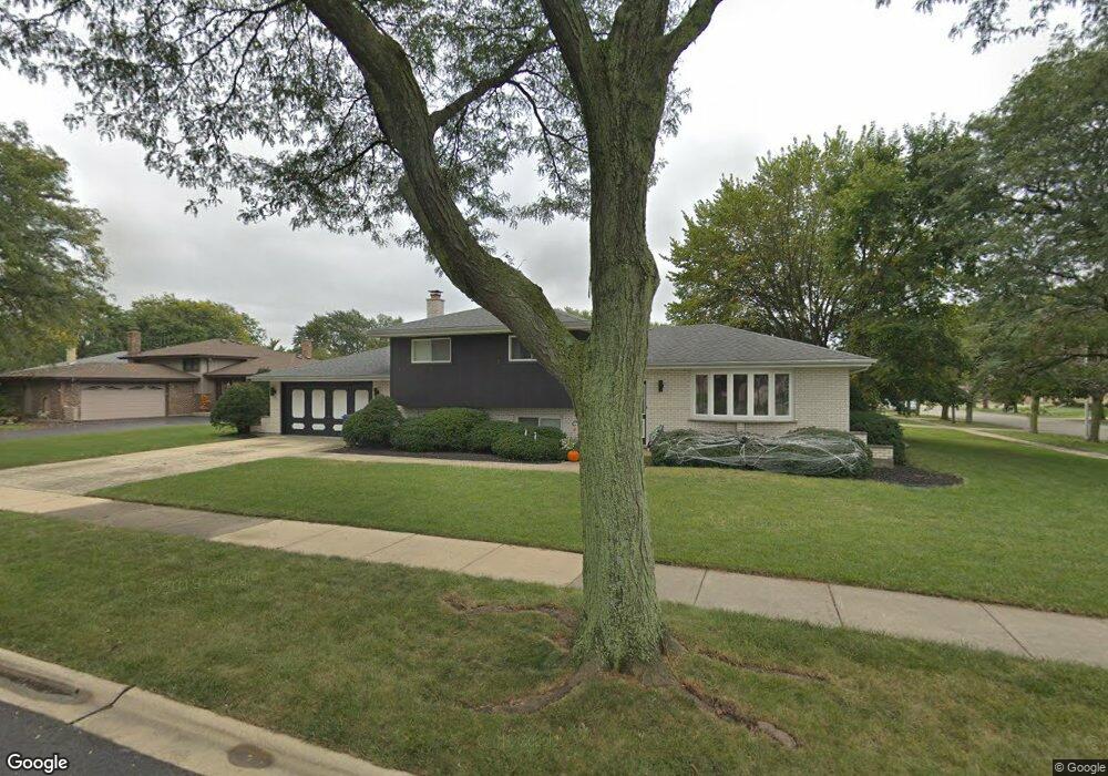
555 W Eggerding Dr Addison, IL 60101
Estimated Value: $416,000 - $439,000
3
Beds
2
Baths
1,987
Sq Ft
$213/Sq Ft
Est. Value
About This Home
This home is located at 555 W Eggerding Dr, Addison, IL 60101 and is currently estimated at $423,235, approximately $213 per square foot. 555 W Eggerding Dr is a home located in DuPage County with nearby schools including Lincoln Elementary School, Indian Trail Jr High School, and Addison Trail High School.
Ownership History
Date
Name
Owned For
Owner Type
Purchase Details
Closed on
Nov 29, 2011
Sold by
Bach Russell and Bach Kandy
Bought by
Melone Anthony and Day Lisa M
Current Estimated Value
Home Financials for this Owner
Home Financials are based on the most recent Mortgage that was taken out on this home.
Original Mortgage
$180,310
Outstanding Balance
$122,512
Interest Rate
3.87%
Mortgage Type
FHA
Estimated Equity
$300,723
Purchase Details
Closed on
Jun 24, 2005
Sold by
Blunda Frank S
Bought by
Bach Russell and Bach Kandy
Home Financials for this Owner
Home Financials are based on the most recent Mortgage that was taken out on this home.
Original Mortgage
$196,000
Interest Rate
5.75%
Mortgage Type
Fannie Mae Freddie Mac
Purchase Details
Closed on
Nov 14, 2003
Sold by
Blunda Sheila
Bought by
Blunda Frank S
Purchase Details
Closed on
Sep 27, 1993
Sold by
Oak Brook Bank
Bought by
Blunda Sheila M
Create a Home Valuation Report for This Property
The Home Valuation Report is an in-depth analysis detailing your home's value as well as a comparison with similar homes in the area
Home Values in the Area
Average Home Value in this Area
Purchase History
| Date | Buyer | Sale Price | Title Company |
|---|---|---|---|
| Melone Anthony | $185,000 | Chicago Title Insurance Co | |
| Bach Russell | $305,000 | Stewart Title Company | |
| Blunda Frank S | -- | -- | |
| Blunda Sheila M | $176,500 | First American Title Insuran |
Source: Public Records
Mortgage History
| Date | Status | Borrower | Loan Amount |
|---|---|---|---|
| Open | Melone Anthony | $180,310 | |
| Previous Owner | Bach Russell | $196,000 |
Source: Public Records
Tax History
| Year | Tax Paid | Tax Assessment Tax Assessment Total Assessment is a certain percentage of the fair market value that is determined by local assessors to be the total taxable value of land and additions on the property. | Land | Improvement |
|---|---|---|---|---|
| 2024 | $7,757 | $118,059 | $34,211 | $83,848 |
| 2023 | $7,400 | $108,530 | $31,450 | $77,080 |
| 2022 | $7,363 | $105,970 | $30,670 | $75,300 |
| 2021 | $7,054 | $101,510 | $29,380 | $72,130 |
| 2020 | $6,861 | $97,230 | $28,140 | $69,090 |
| 2019 | $6,813 | $93,490 | $27,060 | $66,430 |
| 2018 | $6,750 | $89,150 | $25,760 | $63,390 |
| 2017 | $6,574 | $85,200 | $24,620 | $60,580 |
| 2016 | $6,395 | $78,660 | $22,730 | $55,930 |
| 2015 | $6,232 | $72,670 | $21,000 | $51,670 |
| 2014 | $6,076 | $70,580 | $21,660 | $48,920 |
| 2013 | $5,021 | $61,680 | $22,100 | $39,580 |
Source: Public Records
Map
Nearby Homes
- 981 N Mill Rd Unit 1
- 539 W Eggerding Dr
- 465 W Dominion Dr Unit 1001
- 451 W Linda Ln
- 734 N Briar Hill Ln Unit 3
- 720 N Briar Hill Ln Unit 5
- 730 N Briar Hill Ln Unit 1
- 724 N Briar Hill Ln Unit 3
- 665 Catherine Ct Unit 31BR
- 4N327 7th Ave
- 649 N Briar Hill Ln Unit 3
- 474 Elizabeth Dr Unit 17D
- 729 N 8th Ave
- 725 N 8th Ave
- 138 W Janice Ln
- 1130 N Thatcher Ln
- 483 Forest Preserve Dr Unit 2
- 4N163 5th Ave
- 551 N 6th Ave
- 1137 N Itasca Rd
- 551 W Eggerding Dr
- 973 N Mill Rd
- 545 W Eggerding Dr
- 1100 N Millns Ln
- 603 W Eggerding Dr
- 965 N Mill Rd
- 980 N Mill Rd
- 1120 N Millns Ln
- 1101 N Millns Ln
- 600 W Eggerding Dr
- 613 W Eggerding Dr
- 972 N Mill Rd
- 1130 N Millns Ln
- 1121 N Millns Ln
- 529 W Eggerding Dr
- 608 W Eggerding Dr
- 546 W Ronald Dr
- 552 W Ronald Dr
- 540 W Ronald Dr
- 540 W Eggerding Dr
Your Personal Tour Guide
Ask me questions while you tour the home.