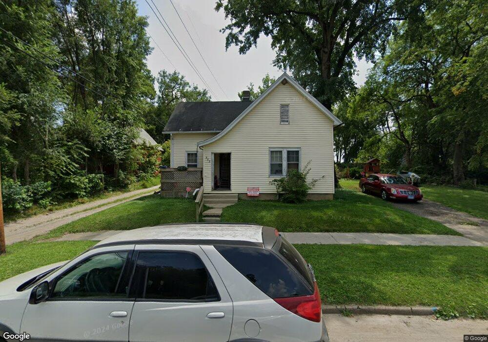
555 W King St Decatur, IL 62522
Estimated Value: $28,000 - $52,000
--
Bed
--
Bath
966
Sq Ft
$44/Sq Ft
Est. Value
About This Home
This home is located at 555 W King St, Decatur, IL 62522 and is currently estimated at $42,456, approximately $43 per square foot. 555 W King St is a home located in Macon County with nearby schools including Hope Academy, St. Patrick School, and Teen Challenge-Home For Girls.
Ownership History
Date
Name
Owned For
Owner Type
Purchase Details
Closed on
Jun 1, 2010
Sold by
Sapp Joe L
Bought by
Cummins Zachary B
Current Estimated Value
Purchase Details
Closed on
Apr 1, 1997
Create a Home Valuation Report for This Property
The Home Valuation Report is an in-depth analysis detailing your home's value as well as a comparison with similar homes in the area
Home Values in the Area
Average Home Value in this Area
Purchase History
| Date | Buyer | Sale Price | Title Company |
|---|---|---|---|
| Cummins Zachary B | $17,000 | None Available | |
| -- | $3,500 | -- |
Source: Public Records
Tax History Compared to Growth
Tax History
| Year | Tax Paid | Tax Assessment Tax Assessment Total Assessment is a certain percentage of the fair market value that is determined by local assessors to be the total taxable value of land and additions on the property. | Land | Improvement |
|---|---|---|---|---|
| 2024 | $353 | $6,797 | $442 | $6,355 |
| 2023 | $363 | $6,556 | $426 | $6,130 |
| 2022 | $373 | $6,182 | $394 | $5,788 |
| 2021 | $375 | $5,773 | $368 | $5,405 |
| 2020 | $585 | $5,504 | $350 | $5,154 |
| 2019 | $585 | $5,504 | $350 | $5,154 |
| 2018 | $617 | $5,873 | $127 | $5,746 |
| 2017 | $632 | $6,029 | $130 | $5,899 |
| 2016 | $643 | $6,090 | $131 | $5,959 |
| 2015 | $612 | $5,983 | $129 | $5,854 |
| 2014 | $606 | $6,273 | $904 | $5,369 |
| 2013 | $621 | $6,509 | $938 | $5,571 |
Source: Public Records
Map
Nearby Homes
- 415 W Green St
- 844 N Edward St
- 875 N Monroe St
- 1245 N Union St
- 837 W Grand Ave
- 422 W William St
- 330 W William St
- 141 E Packard St
- 609 W William St
- 254 N Pine St
- 1065 W Green St
- 452 W Prairie Ave
- 233 N Edward St
- 442 W Prairie Ave
- 366 W Prairie Ave
- 1545 N Monroe St
- 1504 N Monroe St
- 1458 N Union St
- 958 W William St
- 717 W Prairie Ave Unit 2
- 525 W King St
- 869 N College St
- 532 W King St
- 861 N College St
- 853 N College St
- 905 N College St
- 842 N Monroe St
- 909 N College St
- 475 W King St
- 859 N Monroe St
- 904 N College St
- 465 W King St
- 916 N College St
- 842 N College St
- 825 N College St
- 820 N Monroe St
- 946 N Monroe St
- 455 W King St
- 949 N College St
- 602 W King St