Estimated Value: $179,000 - $229,000
3
Beds
1
Bath
1,392
Sq Ft
$149/Sq Ft
Est. Value
About This Home
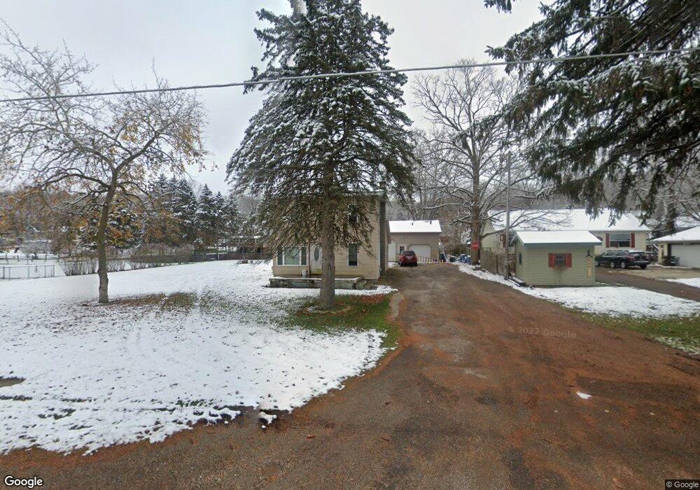
This home is located at 555 W Riverside Dr, Ionia, MI 48846 and is currently estimated at $207,252, approximately $148 per square foot. 555 W Riverside Dr is a home located in Ionia County with nearby schools including Ionia High School and Saints Peter and Paul Catholic School.
Ownership History
Date
Name
Owned For
Owner Type
Purchase Details
Closed on
Jan 9, 2007
Sold by
Cusack Beverly J
Bought by
Lewis Steven Edward and Lewis Heather Kesha
Current Estimated Value
Home Financials for this Owner
Home Financials are based on the most recent Mortgage that was taken out on this home.
Original Mortgage
$100,000
Outstanding Balance
$59,760
Interest Rate
6.21%
Mortgage Type
Balloon
Estimated Equity
$147,492
Create a Home Valuation Report for This Property
The Home Valuation Report is an in-depth analysis detailing your home's value as well as a comparison with similar homes in the area
Home Values in the Area
Average Home Value in this Area
Purchase History
| Date | Buyer | Sale Price | Title Company |
|---|---|---|---|
| Lewis Steven Edward | $100,000 | None Available |
Source: Public Records
Mortgage History
| Date | Status | Borrower | Loan Amount |
|---|---|---|---|
| Open | Lewis Steven Edward | $100,000 |
Source: Public Records
Tax History Compared to Growth
Tax History
| Year | Tax Paid | Tax Assessment Tax Assessment Total Assessment is a certain percentage of the fair market value that is determined by local assessors to be the total taxable value of land and additions on the property. | Land | Improvement |
|---|---|---|---|---|
| 2025 | $1,391 | $73,400 | $6,600 | $66,800 |
| 2024 | $430 | $73,400 | $6,600 | $66,800 |
| 2022 | $391 | $61,900 | $5,700 | $56,200 |
| 2021 | $379 | $56,000 | $5,400 | $50,600 |
| 2020 | $0 | $56,000 | $5,400 | $50,600 |
| 2019 | $0 | $54,400 | $5,100 | $49,300 |
| 2018 | $0 | $41,100 | $4,900 | $36,200 |
| 2017 | -- | $41,100 | $4,900 | $36,200 |
| 2016 | -- | $37,700 | $4,700 | $33,000 |
| 2015 | -- | $37,700 | $4,700 | $33,000 |
| 2014 | $334 | $35,100 | $4,700 | $30,400 |
Source: Public Records
Map
Nearby Homes
- LOT 65 Hosford Dr
- 413 W Riverside Dr
- 1686 Herrity Ln
- 311 Delano St
- 1956 Aspen Valley Ln
- 1976 Aspen Valley Ln
- 1731 Horizon Dr
- 1978 Aspen Valley Ln
- 111 Foxtail Unit 6
- 0 Reimer Dr
- 1232 W Main St
- 261 S Dexter St
- 255 Whispering Creek Dr
- 00 Brown Blvd
- 193 Greenfield Dr
- 947 W Main St
- 90 W Tuttle Rd
- 1133 Yeomans St Unit 99
- 1133 Yeomans St Unit 118
- 1133 Yeomans St Unit 105
- 561 W Riverside Dr
- 550 Grant St
- 558 Grant St
- 544 Grant St
- 565 W Riverside Dr
- 537 W Riverside Dr
- 115 Hosford Dr
- 123 Hosford Dr
- 535 W Riverside Dr
- 543 Grant St
- 555 Grant St
- 605 W Riverside Dr
- 531 W Riverside Dr
- 561 Grant St
- 567 Grant St
- 609 W Riverside Dr
- 120 Hosford Dr
- 527 Grant St
- 525 W Riverside Dr
- 209 Hosford Dr