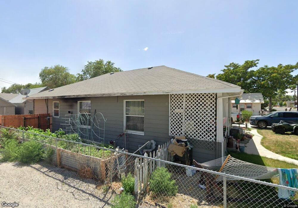
555 Western Ave Lovelock, NV 89419
Estimated Value: $168,000 - $249,000
2
Beds
1
Bath
1,360
Sq Ft
$152/Sq Ft
Est. Value
About This Home
This home is located at 555 Western Ave, Lovelock, NV 89419 and is currently estimated at $206,582, approximately $151 per square foot. 555 Western Ave is a home with nearby schools including Pershing County Middle School and Pershing County High School.
Ownership History
Date
Name
Owned For
Owner Type
Purchase Details
Closed on
Apr 6, 2016
Sold by
Blethen Robert A and Blethen Janet M
Bought by
Paredes Salvador and Nunez Lucia
Current Estimated Value
Home Financials for this Owner
Home Financials are based on the most recent Mortgage that was taken out on this home.
Original Mortgage
$74,250
Outstanding Balance
$5,422
Interest Rate
5%
Mortgage Type
New Conventional
Estimated Equity
$201,160
Create a Home Valuation Report for This Property
The Home Valuation Report is an in-depth analysis detailing your home's value as well as a comparison with similar homes in the area
Home Values in the Area
Average Home Value in this Area
Purchase History
| Date | Buyer | Sale Price | Title Company |
|---|---|---|---|
| Paredes Salvador | $82,600 | -- |
Source: Public Records
Mortgage History
| Date | Status | Borrower | Loan Amount |
|---|---|---|---|
| Open | Paredes Salvador | $74,250 |
Source: Public Records
Tax History Compared to Growth
Tax History
| Year | Tax Paid | Tax Assessment Tax Assessment Total Assessment is a certain percentage of the fair market value that is determined by local assessors to be the total taxable value of land and additions on the property. | Land | Improvement |
|---|---|---|---|---|
| 2025 | $1,105 | $28,681 | $7,000 | $21,681 |
| 2024 | $1,105 | $25,803 | $4,200 | $21,603 |
| 2023 | $1,105 | $19,710 | $4,200 | $15,510 |
| 2022 | $808 | $17,273 | $4,200 | $13,073 |
| 2021 | $752 | $16,730 | $4,200 | $12,530 |
| 2020 | $748 | $16,619 | $4,200 | $12,419 |
| 2019 | $788 | $17,717 | $5,840 | $11,877 |
| 2018 | $724 | $15,951 | $5,840 | $10,111 |
| 2017 | $716 | $15,752 | $5,840 | $9,912 |
| 2016 | $709 | $15,462 | $5,840 | $9,622 |
| 2015 | $665 | $15,510 | $5,840 | $9,670 |
| 2014 | $665 | $14,569 | $5,840 | $8,729 |
Source: Public Records
Map
Nearby Homes
- 960 Franklin Ave
- 750 Grinnel Ave
- 595 Taylor Place
- 1070 Cornell Ave
- 635 Grinnel Ave
- 615 Grinnel Ave
- T28 R31 Sec 27
- T33 R37 Sec 3
- APN 14th St
- 1465 Central Ave
- 495 Camellia Way
- 485 Camellia Way
- 470 Camellia Way
- 480 Camellia Way
- 475 Camellia Way
- 815 16th St
- 750 16th St
- 1605 Central Ave
- 1645 Central Ave
- 0 Jamestown Rd Unit 230003481
- 575 Western Ave
- 930 Franklin Ave
- 515 Western Ave
- 945 Elmhurst Ave
- 560 Western Ave
- 520 Western Ave
- 540 Western Ave
- 580 Western Ave
- 910 Franklin Ave
- 905 Elmhurst Ave
- 975 Franklin Ave
- 935 Franklin Ave
- 915 Franklin Ave
- 905 Franklin Ave
- 575 11th St
- 885 Elmhurst Ave
- 1055 Elmhurst Ave
- 535 11th St
- 640 9th St
- 855 Elmhurst Ave