Estimated Value: $312,000 - $347,000
3
Beds
2
Baths
1,478
Sq Ft
$227/Sq Ft
Est. Value
About This Home
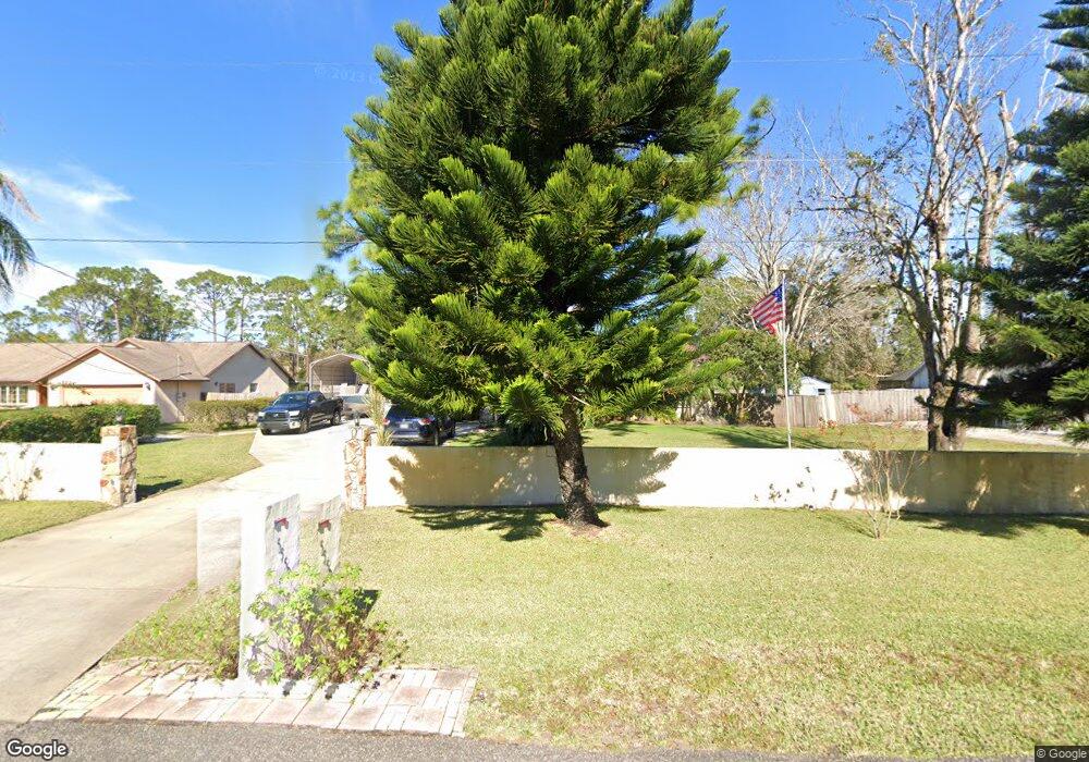
This home is located at 5550 Hastings St, Cocoa, FL 32927 and is currently estimated at $335,839, approximately $227 per square foot. 5550 Hastings St is a home located in Brevard County with nearby schools including Enterprise Elementary School, Space Coast Junior/Senior High School, and East Atlantic Prep of Brevard County.
Ownership History
Date
Name
Owned For
Owner Type
Purchase Details
Closed on
Oct 1, 2010
Sold by
Milligan Jimmy P and Milligan Myrna E
Bought by
Milligan Jimmy P
Current Estimated Value
Purchase Details
Closed on
Nov 22, 1995
Sold by
Johnson Hubert A
Bought by
Milligan Jimmy P and Milligan Myrna E
Home Financials for this Owner
Home Financials are based on the most recent Mortgage that was taken out on this home.
Original Mortgage
$85,500
Interest Rate
7.48%
Create a Home Valuation Report for This Property
The Home Valuation Report is an in-depth analysis detailing your home's value as well as a comparison with similar homes in the area
Home Values in the Area
Average Home Value in this Area
Purchase History
| Date | Buyer | Sale Price | Title Company |
|---|---|---|---|
| Milligan Jimmy P | -- | None Available | |
| Milligan Jimmy P | $95,000 | -- |
Source: Public Records
Mortgage History
| Date | Status | Borrower | Loan Amount |
|---|---|---|---|
| Previous Owner | Milligan Jimmy P | $85,500 |
Source: Public Records
Tax History Compared to Growth
Tax History
| Year | Tax Paid | Tax Assessment Tax Assessment Total Assessment is a certain percentage of the fair market value that is determined by local assessors to be the total taxable value of land and additions on the property. | Land | Improvement |
|---|---|---|---|---|
| 2025 | $1,556 | $114,580 | -- | -- |
| 2024 | $1,518 | $111,360 | -- | -- |
| 2023 | $1,518 | $108,120 | $0 | $0 |
| 2022 | $1,416 | $104,980 | $0 | $0 |
| 2021 | $1,418 | $101,930 | $0 | $0 |
| 2020 | $1,356 | $100,530 | $0 | $0 |
| 2019 | $1,293 | $98,270 | $0 | $0 |
| 2018 | $1,286 | $96,440 | $0 | $0 |
| 2017 | $1,281 | $94,460 | $0 | $0 |
| 2016 | $1,284 | $92,520 | $26,000 | $66,520 |
| 2015 | $1,300 | $91,880 | $26,000 | $65,880 |
| 2014 | $1,302 | $91,160 | $26,000 | $65,160 |
Source: Public Records
Map
Nearby Homes
- 6643 Emil Ave
- 6581 Bancroft Ave
- 5575 Curtis Blvd
- 6615 Dock Ave
- 4650 N Highway 1 Hwy
- 5715 Fairbridge St
- 7065 Hundred Acre Dr
- 6665 Addie Ave
- 6545 Addie Ave
- 6105 Banyan St
- 00 Unknown
- 5149 Arlington Rd Unit 104
- 23-35-21-JX-B-2 Aruin St
- 6365 Homestead Ave
- TBD Freeport Rd
- 7230 Venus Ave
- 5155 Mayflower St
- 6309 Alleghany Ave
- 5090 Market St
- 5460 Holden Rd
- 5570 Hastings St
- 5540 Hastings St
- 5600 Hastings St
- 6700 Hundred Acre Dr
- 6640 Bancroft Ave
- 6690 Hundred Acre Dr
- 6710 Hundred Acre Dr
- 5530 Hastings St
- 6642 Emil Ave
- 5610 Hastings St
- 6633 Emil Ave
- 6720 Hundred Acre Dr
- 6630 Bancroft Ave
- 6641 Bancroft Ave
- 6655 Hundred Acre Dr
- 6632 Emil Ave
- 6623 Emil Ave
- 6730 Hundred Acre Dr
- 5520 Hastings St
- 6645 Fuller Ave