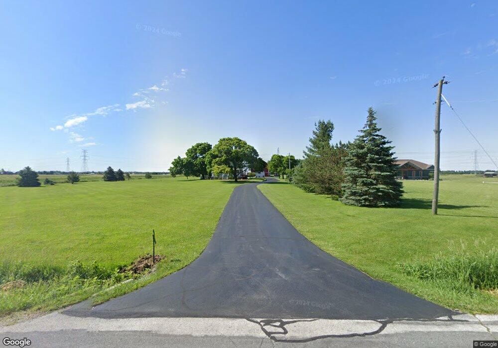
5551 Dowling Rd Luckey, OH 43443
Estimated Value: $148,000 - $300,000
5
Beds
1
Bath
2,150
Sq Ft
$104/Sq Ft
Est. Value
About This Home
This home is located at 5551 Dowling Rd, Luckey, OH 43443 and is currently estimated at $224,668, approximately $104 per square foot. 5551 Dowling Rd is a home located in Wood County with nearby schools including Pemberville Elementary School, Eastwood Middle School, and Eastwood High School.
Ownership History
Date
Name
Owned For
Owner Type
Purchase Details
Closed on
Jan 4, 2011
Sold by
Fairbanks Kenneth W
Bought by
Fairbanks Amy S
Current Estimated Value
Purchase Details
Closed on
Nov 16, 2007
Sold by
Howard Kay L
Bought by
Fairbanks Kenneth and Fairbanks Amy
Purchase Details
Closed on
Nov 15, 2007
Sold by
Fairbanks Kenneth and Fairbanks Amy
Bought by
Howard Kay L
Purchase Details
Closed on
May 29, 1996
Sold by
Burkholder Florence
Bought by
Fairbanks Kenneth W and Fairbanks Amy S
Home Financials for this Owner
Home Financials are based on the most recent Mortgage that was taken out on this home.
Original Mortgage
$53,675
Interest Rate
7.99%
Mortgage Type
New Conventional
Create a Home Valuation Report for This Property
The Home Valuation Report is an in-depth analysis detailing your home's value as well as a comparison with similar homes in the area
Home Values in the Area
Average Home Value in this Area
Purchase History
| Date | Buyer | Sale Price | Title Company |
|---|---|---|---|
| Fairbanks Amy S | -- | Attorney | |
| Fairbanks Kenneth | -- | Attorney | |
| Howard Kay L | -- | Attorney | |
| Howard Kay L | -- | Attorney | |
| Fairbanks Kenneth W | $56,500 | -- |
Source: Public Records
Mortgage History
| Date | Status | Borrower | Loan Amount |
|---|---|---|---|
| Previous Owner | Fairbanks Kenneth W | $53,675 |
Source: Public Records
Tax History Compared to Growth
Tax History
| Year | Tax Paid | Tax Assessment Tax Assessment Total Assessment is a certain percentage of the fair market value that is determined by local assessors to be the total taxable value of land and additions on the property. | Land | Improvement |
|---|---|---|---|---|
| 2024 | $1,584 | $43,505 | $21,245 | $22,260 |
| 2023 | $1,584 | $43,510 | $21,250 | $22,260 |
| 2021 | $1,390 | $34,550 | $16,590 | $17,960 |
| 2020 | $1,403 | $34,550 | $16,590 | $17,960 |
| 2019 | $1,280 | $30,490 | $15,890 | $14,600 |
| 2018 | $1,277 | $30,490 | $15,890 | $14,600 |
| 2017 | $1,300 | $30,490 | $15,890 | $14,600 |
| 2016 | $1,315 | $34,240 | $16,490 | $17,750 |
| 2015 | $1,315 | $34,240 | $16,490 | $17,750 |
| 2014 | $1,477 | $34,240 | $16,490 | $17,750 |
| 2013 | $1,572 | $34,240 | $16,490 | $17,750 |
Source: Public Records
Map
Nearby Homes
- 5575 Dowling Rd
- 5633 Dowling Rd
- 5447 Dowling Rd
- 5695 Dowling Rd
- 5622 Dowling Rd
- 0 Dowling Rd Lot M Unit 5010398
- 0 Dowling Rd Lot K Unit 5010395
- 0 Dowling Rd Lot I Unit 5010390
- 0 Dowling Rd Lot G Unit 5010383
- 0 Dowling Rd Lot L Unit 5010396
- 0 Dowling Rd Lot H Unit 5010387
- 0 Dowling Rd Lot J Unit 5010394
- 0 Dowling Rd Lot H Unit 5081484
- 0 Dowling Rd Lot G Unit 5081481
- 0 Dowling Rd Lot J Unit 5081486
- 0 Dowling Rd Lot I Unit 5081485
- 0 Dowling Rd Lot M Unit 5081489
- 0 Dowling Rd Lot K Unit 5081487
- 0 Dowling Rd Lot L Unit 5081488
- 0 Dowling Rd Lot K Unit 5096990