Estimated Value: $306,000 - $346,000
3
Beds
2
Baths
1,471
Sq Ft
$224/Sq Ft
Est. Value
About This Home
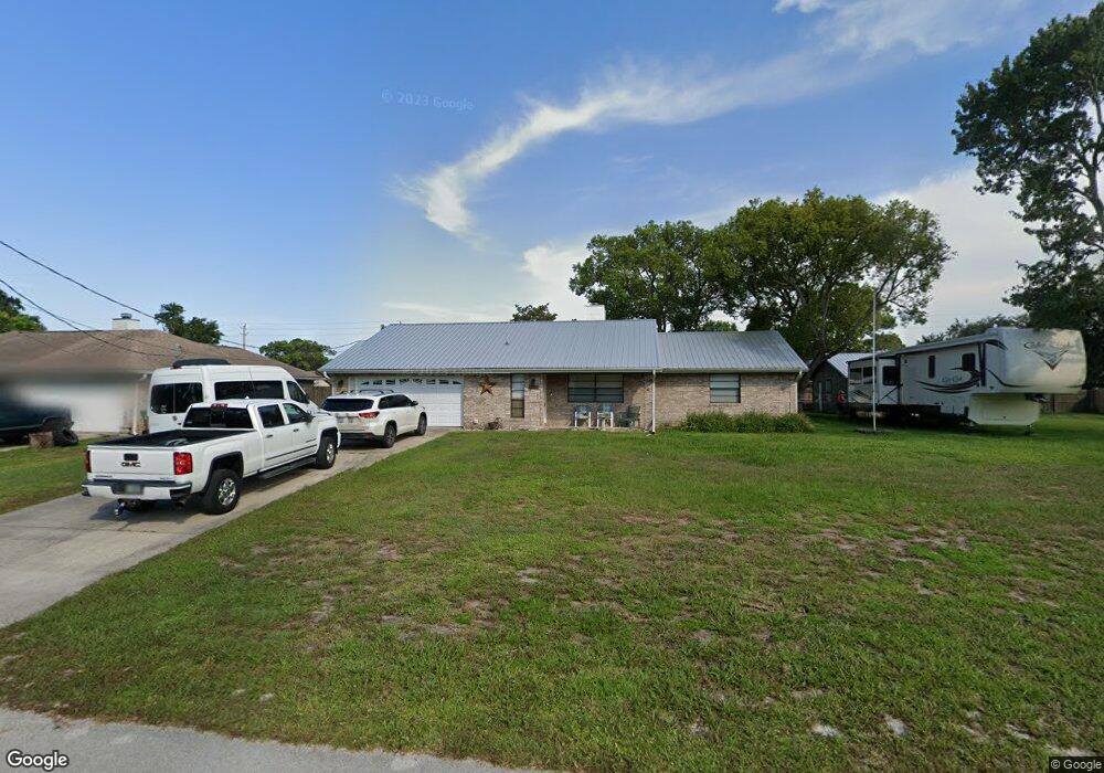
This home is located at 5553 Flint Rd, Cocoa, FL 32927 and is currently estimated at $329,749, approximately $224 per square foot. 5553 Flint Rd is a home located in Brevard County with nearby schools including Enterprise Elementary School, Space Coast Junior/Senior High School, and East Atlantic Prep of Brevard County.
Ownership History
Date
Name
Owned For
Owner Type
Purchase Details
Closed on
Aug 6, 2003
Sold by
Paratore Lydia Mae and Greer Nancy Mae
Bought by
Frazier Scott and Frazier Martha
Current Estimated Value
Home Financials for this Owner
Home Financials are based on the most recent Mortgage that was taken out on this home.
Original Mortgage
$123,200
Outstanding Balance
$53,461
Interest Rate
5.42%
Estimated Equity
$276,288
Purchase Details
Closed on
Jun 23, 1993
Sold by
Paratore Lydia Mae
Bought by
Paratore Lydia Mae and Greer Nancy Mae
Create a Home Valuation Report for This Property
The Home Valuation Report is an in-depth analysis detailing your home's value as well as a comparison with similar homes in the area
Home Values in the Area
Average Home Value in this Area
Purchase History
| Date | Buyer | Sale Price | Title Company |
|---|---|---|---|
| Frazier Scott | $154,000 | American Heritage Title Co | |
| Paratore Lydia Mae | -- | -- |
Source: Public Records
Mortgage History
| Date | Status | Borrower | Loan Amount |
|---|---|---|---|
| Open | Frazier Scott | $123,200 | |
| Closed | Frazier Scott | $30,800 |
Source: Public Records
Tax History
| Year | Tax Paid | Tax Assessment Tax Assessment Total Assessment is a certain percentage of the fair market value that is determined by local assessors to be the total taxable value of land and additions on the property. | Land | Improvement |
|---|---|---|---|---|
| 2025 | $1,438 | $104,920 | -- | -- |
| 2024 | $1,401 | $101,970 | -- | -- |
| 2023 | $1,401 | $99,000 | $0 | $0 |
| 2022 | $1,305 | $96,120 | $0 | $0 |
| 2021 | $1,302 | $93,330 | $0 | $0 |
| 2020 | $1,239 | $92,050 | $0 | $0 |
| 2019 | $1,175 | $89,990 | $0 | $0 |
| 2018 | $1,167 | $88,320 | $0 | $0 |
| 2017 | $1,159 | $86,510 | $0 | $0 |
| 2016 | $1,158 | $84,740 | $36,000 | $48,740 |
| 2015 | $1,170 | $84,160 | $30,000 | $54,160 |
| 2014 | $1,171 | $83,500 | $22,000 | $61,500 |
Source: Public Records
Map
Nearby Homes
- 5460 Holden Rd
- 6438 Hudson Rd
- 5720 Flint Rd
- 5715 Fairbridge St
- 5946 Deer Ln
- 6450 Ember Ave
- 5220 Holden Rd
- 5215 Holden Rd
- 5221 Carrick Rd
- 5945 Coker Ave
- 6581 Bancroft Ave
- 6615 Dock Ave
- 6365 Homestead Ave
- 00 Unknown
- 23-35-21-JX-B-2 Aruin St
- 6420 Homestead Ave
- 6010 Fay Blvd
- 6094 Cardiff Ave
- 6375 Cable Ave
- 6760 Cairo Rd