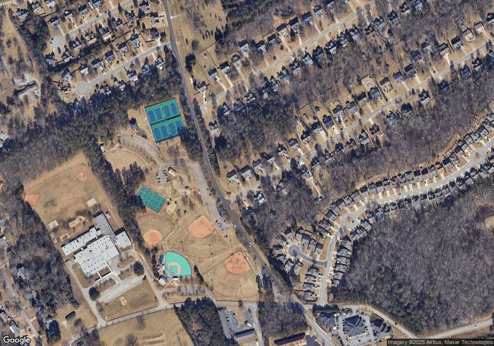
5555 Newberry Point Dr Flowery Branch, GA 30542
Estimated Value: $424,604 - $495,000
3
Beds
2
Baths
2,465
Sq Ft
$189/Sq Ft
Est. Value
About This Home
This home is located at 5555 Newberry Point Dr, Flowery Branch, GA 30542 and is currently estimated at $465,651, approximately $188 per square foot. 5555 Newberry Point Dr is a home located in Hall County with nearby schools including Flowery Branch Elementary School, West Hall Middle School, and West Hall High School.
Ownership History
Date
Name
Owned For
Owner Type
Purchase Details
Closed on
Sep 21, 1998
Sold by
Newberry Point Partners Lp
Bought by
Wise Randall S
Current Estimated Value
Home Financials for this Owner
Home Financials are based on the most recent Mortgage that was taken out on this home.
Original Mortgage
$100,000
Outstanding Balance
$20,376
Interest Rate
6.95%
Mortgage Type
New Conventional
Estimated Equity
$445,275
Purchase Details
Closed on
Nov 14, 1997
Sold by
J C R Group L L C
Bought by
Newberry Point Partners L L P
Create a Home Valuation Report for This Property
The Home Valuation Report is an in-depth analysis detailing your home's value as well as a comparison with similar homes in the area
Home Values in the Area
Average Home Value in this Area
Purchase History
| Date | Buyer | Sale Price | Title Company |
|---|---|---|---|
| Wise Randall S | $142,600 | -- | |
| Newberry Point Partners L L P | $405,000 | -- |
Source: Public Records
Mortgage History
| Date | Status | Borrower | Loan Amount |
|---|---|---|---|
| Open | Wise Randall S | $100,000 |
Source: Public Records
Tax History Compared to Growth
Tax History
| Year | Tax Paid | Tax Assessment Tax Assessment Total Assessment is a certain percentage of the fair market value that is determined by local assessors to be the total taxable value of land and additions on the property. | Land | Improvement |
|---|---|---|---|---|
| 2025 | $3,718 | $161,840 | $33,840 | $128,000 |
| 2024 | $3,833 | $153,360 | $30,760 | $122,600 |
| 2023 | $2,939 | $154,280 | $31,280 | $123,000 |
| 2022 | $3,018 | $117,360 | $30,760 | $86,600 |
| 2021 | $2,701 | $103,360 | $20,520 | $82,840 |
| 2020 | $2,733 | $101,680 | $11,760 | $89,920 |
| 2019 | $2,590 | $95,640 | $11,760 | $83,880 |
| 2018 | $2,507 | $89,720 | $11,760 | $77,960 |
| 2017 | $2,552 | $89,160 | $12,800 | $76,360 |
| 2016 | $2,292 | $80,147 | $9,747 | $70,400 |
| 2015 | $1,914 | $68,436 | $9,747 | $58,688 |
| 2014 | $1,914 | $68,436 | $9,747 | $58,688 |
Source: Public Records
Map
Nearby Homes
- 5531 Radford Rd
- 5581 Ashmoore Ct
- 5644 Mohave Ct
- 5381 Gray Birch Bend
- 5645 Ashmoore Ct
- 5505 Broadleaf Trail
- 5525 Leyland Dr
- 5529 Leyland Dr
- 5522 Leyland Dr
- 5526 Leyland Dr
- 5585 McEver Rd
- 5193 Parkwood Dr
- 5407 Maple Grove Ln
- 5197 Parkwood Dr
- 5317 Frontier Ct
- 5220 Parkwood Dr
- 5325 Frontier Ct
- 5333 Frontier Ct
- 5343 Hargrove Way
- Lancaster Plan at Eastlyn Crossing - Single Family
- 5559 Newberry Point Dr
- 5551 Newberry Point Dr
- 5563 Newberry Point Dr
- 5554 Newberry Point Dr
- 5558 Newberry Point Dr
- 5550 Newberry Point Dr
- 5562 Newberry Point Dr
- 5791 Newberry Point Dr
- 5571 Newberry Point Dr
- 5787 Newberry Point Dr
- 5566 Newberry Point Dr
- 5783 Newberry Point Dr
- 5566 Newberry Point Dr
- 5779 Newberry Point Dr
- 5575 Newberry Point Dr
- 5570 Newberry Point Dr
- 5438 Ashmoore Ln
- 5775 Newberry Point Dr
- 5441 Ashmoore Ln
- 5434 Ashmoore Ln
