5556 Anson Place Springfield, OH 45502
Estimated Value: $433,000 - $509,000
4
Beds
3
Baths
2,632
Sq Ft
$174/Sq Ft
Est. Value
About This Home
This home is located at 5556 Anson Place, Springfield, OH 45502 and is currently estimated at $459,100, approximately $174 per square foot. 5556 Anson Place is a home located in Clark County with nearby schools including Northridge Elementary School and Kenton Ridge Middle & High School.
Ownership History
Date
Name
Owned For
Owner Type
Purchase Details
Closed on
May 8, 2002
Sold by
Estep James L and Estep Barbara A
Bought by
Harrison Paul R and Harrison Laura R
Current Estimated Value
Home Financials for this Owner
Home Financials are based on the most recent Mortgage that was taken out on this home.
Original Mortgage
$237,400
Outstanding Balance
$99,410
Interest Rate
7.24%
Estimated Equity
$359,690
Purchase Details
Closed on
Jul 30, 2001
Sold by
Judy John C and Judy Lisa G
Bought by
Estep James L and Estep Barbara A
Create a Home Valuation Report for This Property
The Home Valuation Report is an in-depth analysis detailing your home's value as well as a comparison with similar homes in the area
Home Values in the Area
Average Home Value in this Area
Purchase History
| Date | Buyer | Sale Price | Title Company |
|---|---|---|---|
| Harrison Paul R | $249,900 | -- | |
| Estep James L | $34,900 | -- |
Source: Public Records
Mortgage History
| Date | Status | Borrower | Loan Amount |
|---|---|---|---|
| Open | Harrison Paul R | $237,400 |
Source: Public Records
Tax History
| Year | Tax Paid | Tax Assessment Tax Assessment Total Assessment is a certain percentage of the fair market value that is determined by local assessors to be the total taxable value of land and additions on the property. | Land | Improvement |
|---|---|---|---|---|
| 2025 | $4,949 | $136,550 | $20,840 | $115,710 |
| 2024 | $4,790 | $110,750 | $22,150 | $88,600 |
| 2023 | $4,790 | $110,750 | $22,150 | $88,600 |
| 2022 | $4,807 | $110,750 | $22,150 | $88,600 |
| 2021 | $4,720 | $92,130 | $18,160 | $73,970 |
| 2020 | $4,724 | $92,130 | $18,160 | $73,970 |
| 2019 | $4,814 | $92,130 | $18,160 | $73,970 |
| 2018 | $4,698 | $86,250 | $14,530 | $71,720 |
| 2017 | $4,043 | $85,960 | $14,525 | $71,435 |
| 2016 | $3,881 | $83,895 | $14,525 | $69,370 |
| 2015 | $4,052 | $90,808 | $14,525 | $76,283 |
| 2014 | $4,051 | $90,808 | $14,525 | $76,283 |
| 2013 | $3,959 | $90,808 | $14,525 | $76,283 |
Source: Public Records
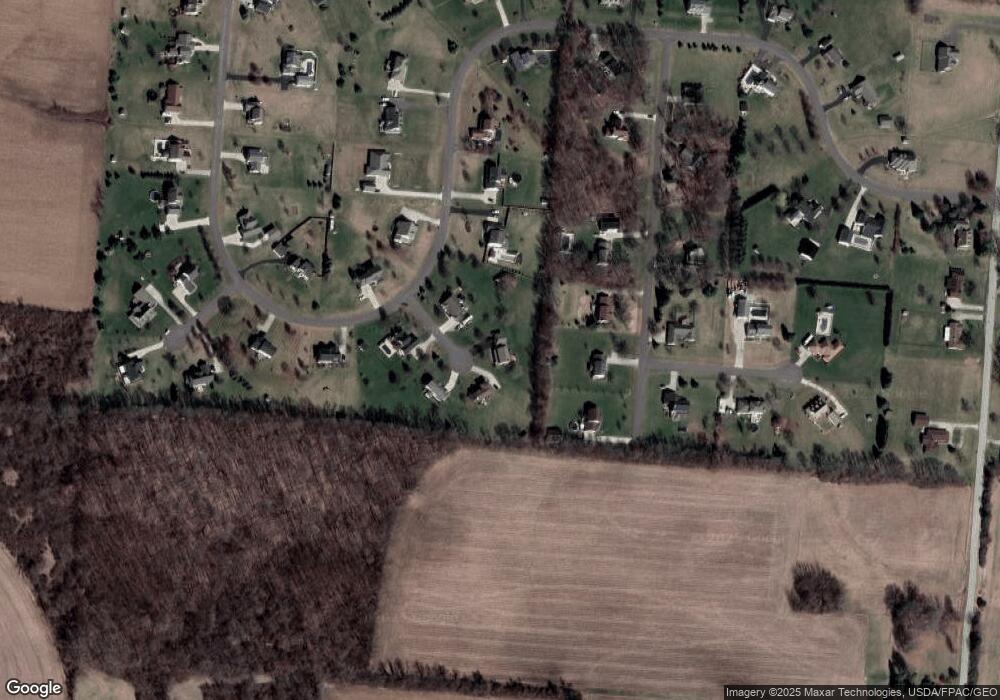
Map
Nearby Homes
- 2939 Willow Rd
- 5060 Morris Rd
- 5107 Twitchell Rd
- 4293 Yale St
- 4500 Bosart Rd
- 4273 Kay Ave
- 5670 Prairie Rd
- 1836 Dunseth Ln
- 6360 Renee St
- 1707 Berwick Dr
- Pendleton Plan at
- Holcombe Plan at
- Newcastle Plan at
- Chatham Plan at
- 5564 Ridgewood Rd E Unit 7
- 1709 Thomas Dr
- 1470 Oldham Dr Unit 12
- 1521 Erika Dr
- 4652 Reno Ln Unit 15
- 5722 Victorian Way Unit 31
- 5524 Anson Place
- 5584 Anson Place
- 5557 Breezewood St
- 5535 Anson Place
- 5523 Breezewood St
- 5595 Breezewood St
- 5575 Anson Place
- 3176 Windy Ridge Dr
- 5631 Breezewood St
- 3130 Windy Ridge Dr
- 3161 Windy Ridge Dr
- 3115 Windy Ridge Dr
- 3190 Windy Ridge Dr
- 3625 Morningside Cir
- 3620 Morningside Cir
- 3189 Windy Ridge Dr
- 3100 Windy Ridge Dr
- 5610 Breezewood St
- 3236 Windy Ridge Dr
- 5667 Breezewood St
Your Personal Tour Guide
Ask me questions while you tour the home.