Estimated Value: $251,466 - $327,000
Studio
1
Bath
2,982
Sq Ft
$93/Sq Ft
Est. Value
About This Home
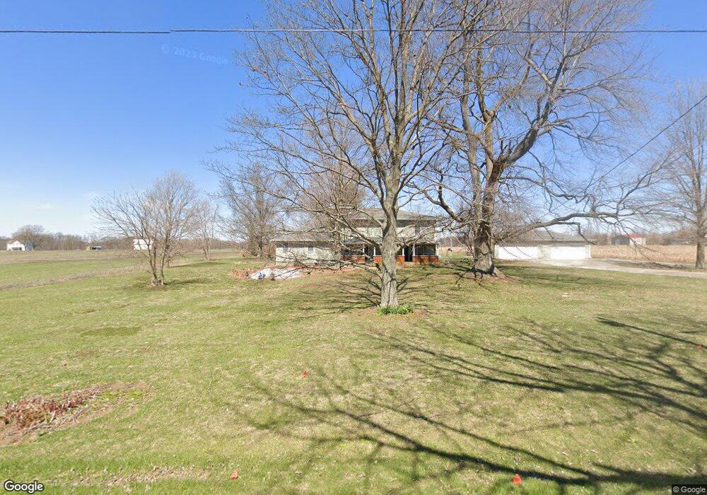
This home is located at 5556 E Marrs Rd, Salem, IN 47167 and is currently estimated at $276,822, approximately $92 per square foot. 5556 E Marrs Rd is a home located in Washington County with nearby schools including Bradie M. Shrum Lower Elementary School, Salem Middle School, and Salem High School.
Ownership History
Date
Name
Owned For
Owner Type
Purchase Details
Closed on
Apr 5, 2017
Sold by
Brickey Benjamin J
Bought by
Morgan Teresa J
Current Estimated Value
Home Financials for this Owner
Home Financials are based on the most recent Mortgage that was taken out on this home.
Original Mortgage
$102,725
Outstanding Balance
$85,365
Interest Rate
4.16%
Mortgage Type
Future Advance Clause Open End Mortgage
Estimated Equity
$191,457
Create a Home Valuation Report for This Property
The Home Valuation Report is an in-depth analysis detailing your home's value as well as a comparison with similar homes in the area
Purchase History
| Date | Buyer | Sale Price | Title Company |
|---|---|---|---|
| Morgan Teresa J | -- | None Available |
Source: Public Records
Mortgage History
| Date | Status | Borrower | Loan Amount |
|---|---|---|---|
| Open | Morgan Teresa J | $102,725 |
Source: Public Records
Tax History
| Year | Tax Paid | Tax Assessment Tax Assessment Total Assessment is a certain percentage of the fair market value that is determined by local assessors to be the total taxable value of land and additions on the property. | Land | Improvement |
|---|---|---|---|---|
| 2024 | $1,014 | $124,700 | $31,200 | $93,500 |
| 2023 | $927 | $116,700 | $28,000 | $88,700 |
| 2022 | $970 | $117,000 | $24,700 | $92,300 |
| 2021 | $1,032 | $107,800 | $22,900 | $84,900 |
| 2020 | $762 | $94,800 | $22,800 | $72,000 |
| 2019 | $803 | $100,700 | $25,200 | $75,500 |
| 2018 | $827 | $101,800 | $25,600 | $76,200 |
| 2017 | $781 | $104,000 | $27,600 | $76,400 |
| 2016 | $733 | $104,200 | $28,500 | $75,700 |
| 2014 | $641 | $95,400 | $29,300 | $66,100 |
| 2013 | $880 | $95,400 | $26,900 | $68,500 |
Source: Public Records
Map
Nearby Homes
- 6430 E Old 56
- 2476 N Old 56
- E E Old 56 Unit 4
- 4313 E Canton Rd
- 0 E Old State Road 56
- 8091 E New Philadelphia Rd
- 115 N Harristown Rd
- 1029 E Delaney Park Rd
- 6916 N Pumpkin Center East Rd
- 3403 Lino Ln
- 9781 E New Philadelphia Rd
- 0 Mount Eden Rd
- 1789 N Peacock Hollow Rd
- 1789 N Peacock Unit Hollow Road
- 707 Iroquois Blvd
- 436 W Water Tower Rd
- 540 Colony Dr
- S S 160
- 705 N Heritage Chapel Tract 2 Rd
- 526 Pilgrim Way
Your Personal Tour Guide
Ask me questions while you tour the home.