5557 Buntrock Rd Marsing, ID 83639
Estimated Value: $407,000
3
Beds
2
Baths
1,593
Sq Ft
$255/Sq Ft
Est. Value
About This Home
This home is located at 5557 Buntrock Rd, Marsing, ID 83639 and is currently priced at $407,000, approximately $255 per square foot. 5557 Buntrock Rd is a home located in Owyhee County with nearby schools including Marsing Elementary School, Marsing Middle School, and Marsing High School.
Ownership History
Date
Name
Owned For
Owner Type
Purchase Details
Closed on
May 19, 2022
Sold by
Lynn Eells Patricia and Lynn Scotty
Bought by
Hills Janssen B and Hills Irene J
Current Estimated Value
Purchase Details
Closed on
Mar 12, 2020
Sold by
Eells Patricia Lynn and Eells Scotty
Bought by
Eells Patricia Lynn and Eells Scott
Home Financials for this Owner
Home Financials are based on the most recent Mortgage that was taken out on this home.
Original Mortgage
$50,000
Interest Rate
3.5%
Mortgage Type
New Conventional
Purchase Details
Closed on
Mar 4, 2015
Sold by
Eells Scotty L
Bought by
Eells Patricia L
Purchase Details
Closed on
Jun 28, 2006
Sold by
Baldwin Phyllis J
Bought by
Eells Scotty L
Create a Home Valuation Report for This Property
The Home Valuation Report is an in-depth analysis detailing your home's value as well as a comparison with similar homes in the area
Home Values in the Area
Average Home Value in this Area
Purchase History
| Date | Buyer | Sale Price | Title Company |
|---|---|---|---|
| Hills Janssen B | -- | Pioneer Title | |
| Eells Patricia Lynn | -- | Alliance Title | |
| Eells Patricia L | -- | None Available | |
| Eells Scotty L | -- | -- |
Source: Public Records
Mortgage History
| Date | Status | Borrower | Loan Amount |
|---|---|---|---|
| Previous Owner | Eells Patricia Lynn | $50,000 |
Source: Public Records
Tax History Compared to Growth
Tax History
| Year | Tax Paid | Tax Assessment Tax Assessment Total Assessment is a certain percentage of the fair market value that is determined by local assessors to be the total taxable value of land and additions on the property. | Land | Improvement |
|---|---|---|---|---|
| 2021 | $999 | $0 | $0 | $0 |
| 2020 | $999 | $156,386 | $92,770 | $63,616 |
| 2019 | $1,149 | $145,043 | $92,770 | $52,273 |
| 2018 | $996 | $142,088 | $77,309 | $64,779 |
| 2017 | $942 | $112,136 | $77,309 | $34,827 |
| 2016 | $754 | $99,328 | $61,960 | $37,368 |
| 2014 | $318 | $80,215 | $53,175 | $27,040 |
| 2011 | -- | $56,833 | $16,876 | $39,957 |
Source: Public Records
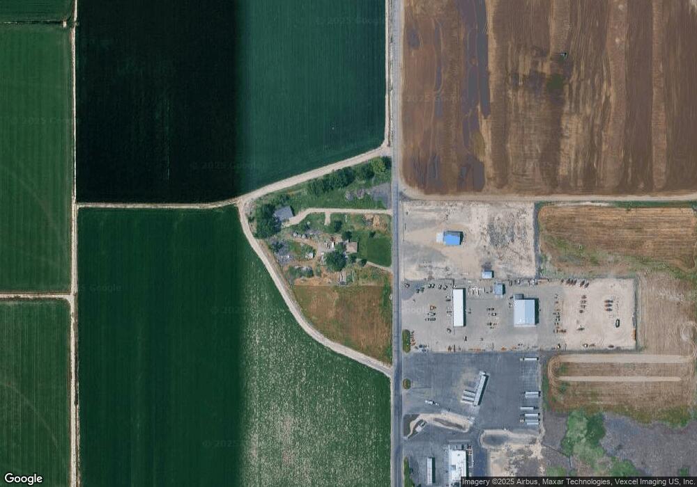
Map
Nearby Homes
- 5405 Hogg Rd
- 928 W Main St
- 540 Morning Dove Way
- Poison Creek Rd
- 405 Live Oak Ave
- TBD Canal St
- TBD N Bruneau Rd
- 224 Motzko St
- 7253 Riverview Dr
- 4207 W Pershall Rd
- 8142 Us Highway 95
- 311 Riverview Dr
- 309 River View Dr
- 5168 Jump Creek Rd
- 20056 Sunny Slope Rd
- 20477 Lowell Rd
- 6708 Sunset Ln
- TBD Fran Ln
- 6701 Red Rock Rd
- TBD Poison Creek Grade Rd
- 5533 Buntrock Rd
- 0 Highway 55 @ Us 95 Unit 98892064
- 5499 Dobbin Rd
- 5453 Dobbin Rd
- 7972 State Highway 78
- 7174 Us Hwy 95
- 7174 Us Highway 95
- 13684 Us Highway 95
- 12378 Us Highway 95
- 12378 Us Highway 95
- 13684 Us Hwy 95
- 13684 Us Highway 95
- 13684 Us Highway 95
- 13684 Us Highway 95
- 7188 Us Highway 95
- 7188 Us Highway 95
- 5654 Highway 55
- 5407 Thompson Rd
- 6767 Us Highway 95
- 6767 U S Highway 95