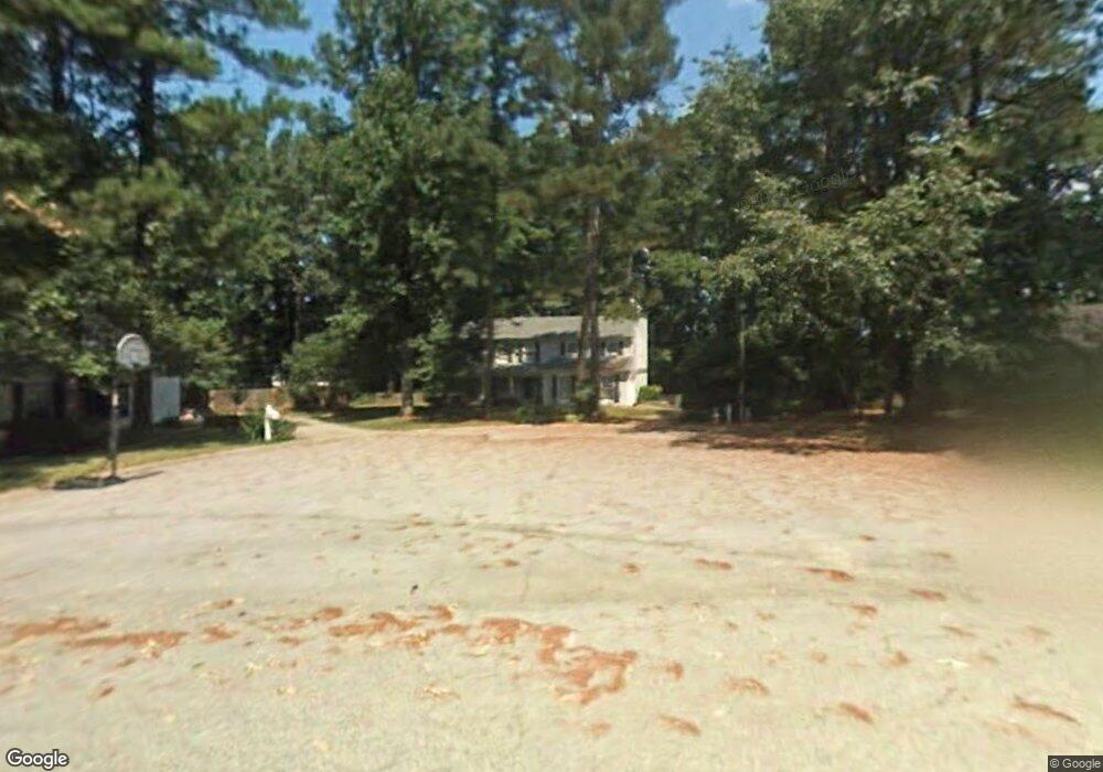
5557 Patrick Ct Unit 3 Norcross, GA 30092
Estimated Value: $537,000 - $570,000
4
Beds
3
Baths
2,286
Sq Ft
$244/Sq Ft
Est. Value
About This Home
This home is located at 5557 Patrick Ct Unit 3, Norcross, GA 30092 and is currently estimated at $557,032, approximately $243 per square foot. 5557 Patrick Ct Unit 3 is a home located in Gwinnett County with nearby schools including Simpson Elementary School, Pinckneyville Middle School, and Norcross High School.
Ownership History
Date
Name
Owned For
Owner Type
Purchase Details
Closed on
Jun 21, 2001
Sold by
Weaver Thomas A and Weaver Susan K
Bought by
Vanhees Vance R and Vanhees Elizabeth B
Current Estimated Value
Home Financials for this Owner
Home Financials are based on the most recent Mortgage that was taken out on this home.
Original Mortgage
$191,271
Outstanding Balance
$72,002
Interest Rate
7.14%
Mortgage Type
VA
Estimated Equity
$485,030
Purchase Details
Closed on
Mar 1, 1996
Sold by
Kleinberg Jon Lynn
Bought by
Weaver Thomas Susan
Create a Home Valuation Report for This Property
The Home Valuation Report is an in-depth analysis detailing your home's value as well as a comparison with similar homes in the area
Home Values in the Area
Average Home Value in this Area
Purchase History
| Date | Buyer | Sale Price | Title Company |
|---|---|---|---|
| Vanhees Vance R | $209,900 | -- | |
| Weaver Thomas Susan | $153,500 | -- |
Source: Public Records
Mortgage History
| Date | Status | Borrower | Loan Amount |
|---|---|---|---|
| Open | Vanhees Vance R | $191,271 | |
| Closed | Weaver Thomas Susan | $0 |
Source: Public Records
Tax History
| Year | Tax Paid | Tax Assessment Tax Assessment Total Assessment is a certain percentage of the fair market value that is determined by local assessors to be the total taxable value of land and additions on the property. | Land | Improvement |
|---|---|---|---|---|
| 2025 | $5,977 | $244,040 | $38,000 | $206,040 |
| 2024 | $5,195 | $198,400 | $40,000 | $158,400 |
| 2023 | $5,195 | $187,840 | $36,400 | $151,440 |
| 2022 | $4,544 | $166,520 | $32,800 | $133,720 |
| 2021 | $4,221 | $146,320 | $26,240 | $120,080 |
| 2020 | $4,150 | $141,600 | $26,000 | $115,600 |
| 2019 | $4,061 | $141,600 | $26,000 | $115,600 |
| 2018 | $3,877 | $132,440 | $24,000 | $108,440 |
| 2016 | $3,185 | $102,320 | $24,000 | $78,320 |
| 2015 | $3,215 | $102,320 | $24,000 | $78,320 |
| 2014 | $3,013 | $98,840 | $24,000 | $74,840 |
Source: Public Records
Map
Nearby Homes
- 5545 Fitzpatrick Terrace
- 4373 Fielding Ln
- 4635 Walden Trace
- 5221 W Jones Bridge Rd
- 5368 Broadwood Ave
- 5350 Wickershire Dr
- 3434 Nectarine Ln
- 3430 Nectarine Ln
- 5653 Creekside Dr
- 4610 Clivedon Terrace
- 5716 Fairley Hall Ct
- 4181 Wild Sonnet Trail NW
- 5830 Wilbanks Dr
- 5124 Bandolino Ln Unit 323
- 5028 Shirley Oaks Dr Unit 284
- 5047 Shirley Oaks Dr Unit 313
- 4923 Sudbrook Way Unit 233
- 4933 Sudbrook Way Unit 230
- 5038 Shirley Oaks Dr Unit 281
- 4903 Sudbrook Way Unit 239
- 5567 Patrick Ct Unit 3
- 5547 Patrick Ct
- 4246 Springfield Dr Unit 2
- 5544 Fitzpatrick Terrace
- 4236 Springfield Dr
- 5554 Fitzpatrick Terrace Unit 3
- 4256 Springfield Dr
- 4226 Springfield Dr
- 5537 Patrick Ct
- 5577 Patrick Ct
- 4266 Springfield Dr Unit 2
- 5564 Fitzpatrick Terrace Unit 3
- 5558 Patrick Ct
- 5587 Patrick Ct
- 5574 Fitzpatrick Terrace Unit 3
- 5527 Patrick Ct Unit 3
- 4276 Springfield Dr
- 5588 Patrick Ct
- 4216 Springfield Dr
- 4235 Springfield Dr
Your Personal Tour Guide
Ask me questions while you tour the home.