5557 State Route 726 Eldorado, OH 45321
Estimated Value: $701,000 - $1,086,266
4
Beds
2
Baths
2,728
Sq Ft
$328/Sq Ft
Est. Value
About This Home
This home is located at 5557 State Route 726, Eldorado, OH 45321 and is currently estimated at $893,633, approximately $327 per square foot. 5557 State Route 726 is a home located in Preble County with nearby schools including National Trail Elementary School, National Trail Middle School, and National Trail High School.
Ownership History
Date
Name
Owned For
Owner Type
Purchase Details
Closed on
Jul 18, 2025
Sold by
Kenneth Landes Trust and Thelma Landes Trust
Bought by
Landes Ronald R and Landes Sarah J
Current Estimated Value
Purchase Details
Closed on
Mar 21, 2018
Sold by
Landes Ronald R and Landes Sarah J
Bought by
Ronald Landes Holding Llc
Purchase Details
Closed on
Aug 4, 2014
Sold by
Landes Ronald R and Landes Sarah J
Bought by
Landes Kenneth and Kenneth Landes Revocable Trust
Purchase Details
Closed on
Jun 6, 2011
Sold by
Landes Kenneth and Landes Thelma
Bought by
Landes Ronald R and Landes Sarah J
Home Financials for this Owner
Home Financials are based on the most recent Mortgage that was taken out on this home.
Original Mortgage
$185,000
Interest Rate
4.81%
Mortgage Type
Seller Take Back
Create a Home Valuation Report for This Property
The Home Valuation Report is an in-depth analysis detailing your home's value as well as a comparison with similar homes in the area
Home Values in the Area
Average Home Value in this Area
Purchase History
| Date | Buyer | Sale Price | Title Company |
|---|---|---|---|
| Landes Ronald R | -- | None Listed On Document | |
| Ronald Landes Holding Llc | -- | None Available | |
| Landes Kenneth | -- | None Available | |
| Landes Ronald R | $277,500 | Attorney |
Source: Public Records
Mortgage History
| Date | Status | Borrower | Loan Amount |
|---|---|---|---|
| Previous Owner | Landes Ronald R | $185,000 |
Source: Public Records
Tax History Compared to Growth
Tax History
| Year | Tax Paid | Tax Assessment Tax Assessment Total Assessment is a certain percentage of the fair market value that is determined by local assessors to be the total taxable value of land and additions on the property. | Land | Improvement |
|---|---|---|---|---|
| 2024 | $5,667 | $270,850 | $189,230 | $81,620 |
| 2023 | $5,667 | $270,850 | $189,230 | $81,620 |
| 2022 | $4,077 | $99,990 | $39,020 | $60,970 |
| 2021 | $4,329 | $216,070 | $155,100 | $60,970 |
| 2020 | $4,195 | $216,070 | $155,100 | $60,970 |
| 2019 | $4,279 | $194,860 | $147,710 | $47,150 |
| 2018 | $4,246 | $194,860 | $147,710 | $47,150 |
| 2017 | $4,421 | $194,860 | $147,710 | $47,150 |
| 2016 | $4,749 | $177,050 | $123,990 | $53,060 |
| 2014 | $4,721 | $183,720 | $124,010 | $59,710 |
| 2013 | $3,619 | $159,075 | $99,365 | $59,710 |
Source: Public Records
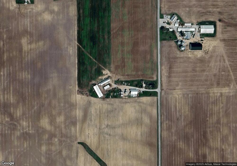
Map
Nearby Homes
- 0 W US 40
- 8486 Us Route 127
- 230 Stephens Rd
- 3919 Spacht Rd
- 210 N Main St
- 501 N Maple St
- 5695 New Paris Gettysburg Rd
- Lot 13 Ridgeview Dr
- Lot 8 Ridgeview Dr
- Lot 7 Ridgeview Dr
- Lot 3 Ridgeview Dr
- Lot 6 Ridgeview Dr
- 6007 Murray Rd
- 383 Georgetown Verona Rd
- 792 W Holtzmuller Rd
- 0 E Scott Unit 942470
- 3820 Eaton Gettysburg Rd
- 5283 W 35 Us
- Lot 14 & Lot 15 Ridgeview Dr
- Lot 5 & Lot 9 Ridgeview Dr
- 5692 State Route 726
- 2654 Crubaugh Rd
- 5955 State Route 726
- 5955 State Route 726
- 5956 State Route 726
- 2017 Wear Miller Rd
- 1922 Wear Miller Rd
- 4961 State Route 726
- 2900 Crubaugh Rd
- 4907 State Route 726
- 2293 State Route 40
- 1802 Wear Miller Rd
- 2370 State Route 40
- 2830 State Route 40 W
- 2830 U S 40
- 2125 State Route 40
- 2830 State Route 40
- 2830 Us Route 40
- 2830 State Route 40
- 4775 State Route 726