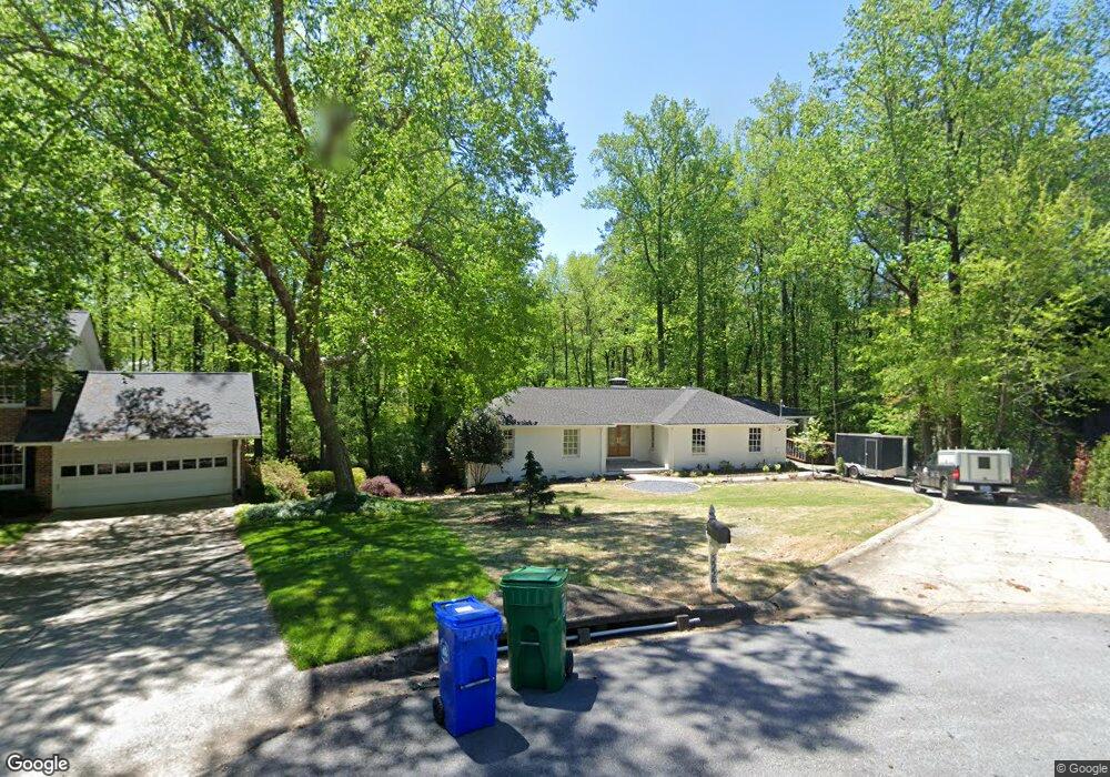
5558 Mill Trace Ct Unit 4 Atlanta, GA 30338
Estimated Value: $619,000 - $702,000
4
Beds
2
Baths
2,127
Sq Ft
$316/Sq Ft
Est. Value
About This Home
This home is located at 5558 Mill Trace Ct Unit 4, Atlanta, GA 30338 and is currently estimated at $672,207, approximately $316 per square foot. 5558 Mill Trace Ct Unit 4 is a home located in DeKalb County with nearby schools including Austin Elementary School, Peachtree Middle School, and Dunwoody High School.
Ownership History
Date
Name
Owned For
Owner Type
Purchase Details
Closed on
Feb 1, 2002
Sold by
Douglass Nancy N
Bought by
Douglass Nancy N and Douglass Marc A
Current Estimated Value
Home Financials for this Owner
Home Financials are based on the most recent Mortgage that was taken out on this home.
Original Mortgage
$245,800
Outstanding Balance
$96,579
Interest Rate
6.5%
Mortgage Type
New Conventional
Estimated Equity
$575,628
Create a Home Valuation Report for This Property
The Home Valuation Report is an in-depth analysis detailing your home's value as well as a comparison with similar homes in the area
Home Values in the Area
Average Home Value in this Area
Purchase History
| Date | Buyer | Sale Price | Title Company |
|---|---|---|---|
| Douglass Nancy N | -- | -- | |
| Douglass Nancy N | $307,200 | -- |
Source: Public Records
Mortgage History
| Date | Status | Borrower | Loan Amount |
|---|---|---|---|
| Open | Douglass Nancy N | $245,800 |
Source: Public Records
Tax History
| Year | Tax Paid | Tax Assessment Tax Assessment Total Assessment is a certain percentage of the fair market value that is determined by local assessors to be the total taxable value of land and additions on the property. | Land | Improvement |
|---|---|---|---|---|
| 2025 | $6,821 | $259,360 | $84,800 | $174,560 |
| 2024 | $6,961 | $260,040 | $84,800 | $175,240 |
| 2023 | $6,961 | $254,080 | $84,800 | $169,280 |
Source: Public Records
Map
Nearby Homes
- 1293 Witham Dr
- 1257 Witham Dr
- 5628 Bend Creek Rd Unit 5
- 5717 Braddock Ct
- 1208 Dunbrooke Ln
- 980 Fenimore Cir
- 1127 Aurora Ct
- 1106 Aurora Ct
- 1495 Spalding Dr
- 1852 Withmere Way
- 8205 Innsbruck Dr
- 1059 Coronation Dr
- 5320 Fairfield W
- 5300 Fairfield W
- 285 Spalding Springs Ln
- 4036 Spalding Dr
- 1505 Northwold Dr
- 350 Spindle Ct
- 1620 Saddle Ridge Way
- 1450 Northwold Dr
- 5561 Mill Trace Ct
- 5561 Mill Trace Ct
- 5554 Mill Trace Ct
- 5554 Mill Trace Ct Unit 4
- 5565 Mill Trace Ct
- 5585 Mill Trace Dr
- 5561 Glenrich Dr
- 5553 Glenrich Dr Unit 3
- 5569 Mill Trace Ct
- 5545 Glenrich Dr
- 1317 Mill Gate Dr Unit 3
- 5554 Concord Place
- 5577 Mill Trace Dr
- 5569 Glenrich Dr Unit 3
- 5555 Concord Place
- 1327 Mill Gate Dr Unit 2
- 1341 Mill Gate Dr Unit 2
- 5603 Mill Trace Dr Unit 4
- 1324 Martina Dr Unit 2
- 5569 Mill Trace Dr
Your Personal Tour Guide
Ask me questions while you tour the home.