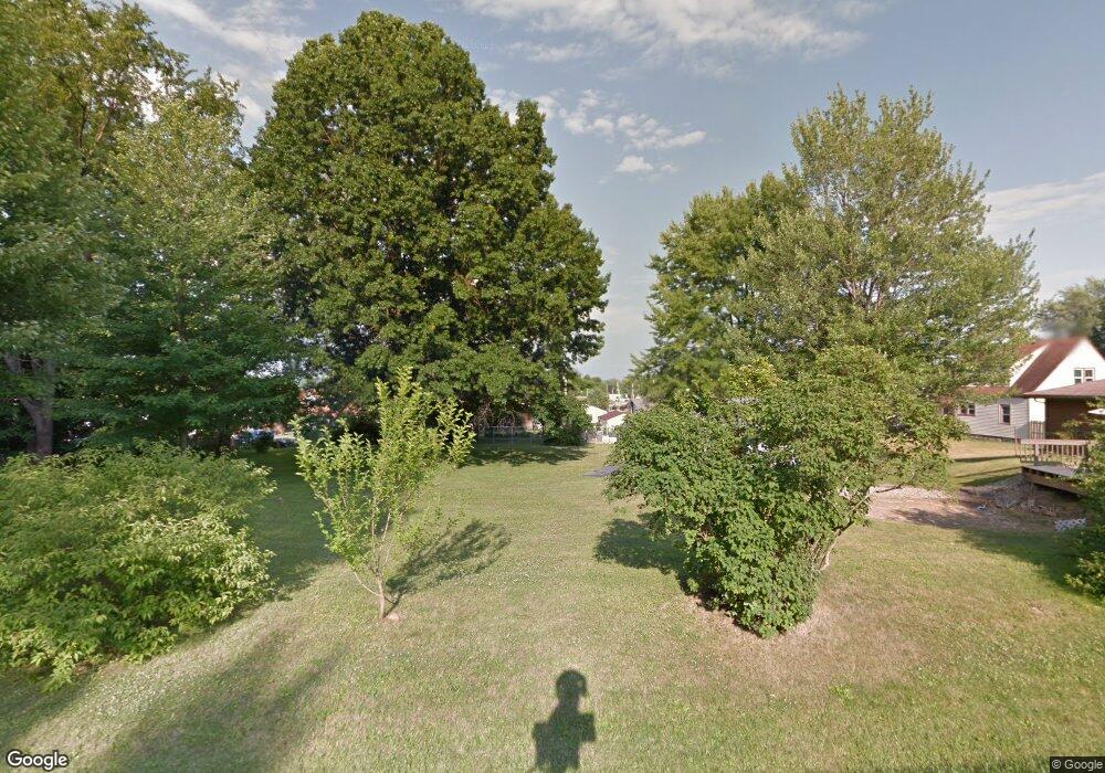
556 10th St Unit 558 Struthers, OH 44471
Estimated Value: $110,000 - $127,489
4
Beds
2
Baths
1,519
Sq Ft
$81/Sq Ft
Est. Value
About This Home
This home is located at 556 10th St Unit 558, Struthers, OH 44471 and is currently estimated at $122,622, approximately $80 per square foot. 556 10th St Unit 558 is a home located in Mahoning County with nearby schools including Struthers Elementary School, Struthers Middle School, and Struthers High School.
Ownership History
Date
Name
Owned For
Owner Type
Purchase Details
Closed on
Apr 27, 2021
Bought by
Jc Poland Properties Llc
Current Estimated Value
Purchase Details
Closed on
Jan 22, 2021
Sold by
Kotyuha Dorothy
Bought by
Nuttall Thomas
Home Financials for this Owner
Home Financials are based on the most recent Mortgage that was taken out on this home.
Original Mortgage
$54,375
Interest Rate
2.2%
Mortgage Type
New Conventional
Purchase Details
Closed on
Jan 29, 1969
Bought by
Kotyuha John and Kotyuha Dorothy
Create a Home Valuation Report for This Property
The Home Valuation Report is an in-depth analysis detailing your home's value as well as a comparison with similar homes in the area
Home Values in the Area
Average Home Value in this Area
Purchase History
| Date | Buyer | Sale Price | Title Company |
|---|---|---|---|
| Jc Poland Properties Llc | -- | -- | |
| Nuttall Thomas | $70,000 | Barristers Of Ohio | |
| Kotyuha John | -- | -- |
Source: Public Records
Mortgage History
| Date | Status | Borrower | Loan Amount |
|---|---|---|---|
| Previous Owner | Nuttall Thomas | $54,375 |
Source: Public Records
Tax History Compared to Growth
Tax History
| Year | Tax Paid | Tax Assessment Tax Assessment Total Assessment is a certain percentage of the fair market value that is determined by local assessors to be the total taxable value of land and additions on the property. | Land | Improvement |
|---|---|---|---|---|
| 2024 | $1,377 | $32,350 | $3,740 | $28,610 |
| 2023 | $1,354 | $32,350 | $3,740 | $28,610 |
| 2022 | $1,097 | $19,840 | $3,440 | $16,400 |
| 2021 | $1,110 | $20,230 | $3,830 | $16,400 |
| 2020 | $1,115 | $20,230 | $3,830 | $16,400 |
| 2019 | $1,069 | $17,600 | $3,330 | $14,270 |
| 2018 | $1,021 | $17,600 | $3,330 | $14,270 |
| 2017 | $1,079 | $17,600 | $3,330 | $14,270 |
| 2016 | $1,140 | $20,160 | $4,160 | $16,000 |
| 2015 | $1,114 | $20,160 | $4,160 | $16,000 |
| 2014 | $1,118 | $20,160 | $4,160 | $16,000 |
| 2013 | $1,041 | $20,160 | $4,160 | $16,000 |
Source: Public Records
Map
Nearby Homes
- 541 Lincoln St
- 414 10th St
- 447 8th St
- 2510 E Midlothian Blvd
- 0 Crescent Dr Unit 5124984
- 506 8th St
- 2743 Mount Vernon Ave
- 3717 Loveland Rd
- 2007 E Midlothian Blvd
- 2001 Brownlee Ave
- 2003 E Midlothian Blvd
- 2002 Bancroft Ave
- 2025 Pointview Ave
- 2016 Pointview Ave
- 1962 Bancroft Ave
- 1923 Medford Ave
- 306 Maplewood Ave
- 3582 Valerie Dr
- 0 Weston Ave
- 227 Maplewood Ave
- 556 Lincoln St
- 552 Lincoln Ave Unit 554
- 554 Lincoln St
- 490 10th St Unit 492
- 546 Lincoln Ave
- 570 Lincoln Ave Unit 572
- 494 10th St Unit 496
- 542 Lincoln Ave
- 574 Lincoln Ave
- 460 10th St
- 498 10th St
- 491 10th St
- 536 Lincoln Ave
- 580 Lincoln Ave Unit 582
- 571 Lincoln Ave
- 493 9th St
- 504 10th St
- 495 10th St
- 497 9th St
- 532 Lincoln Ave
